
-
-
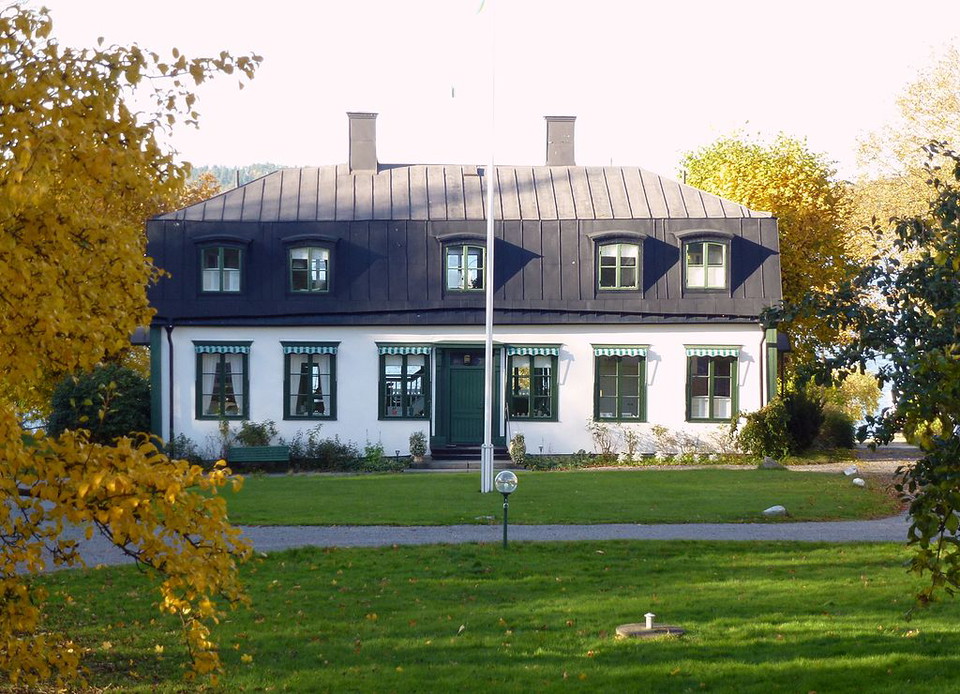
Johannesdals Gård Foto Holger Ellgaard
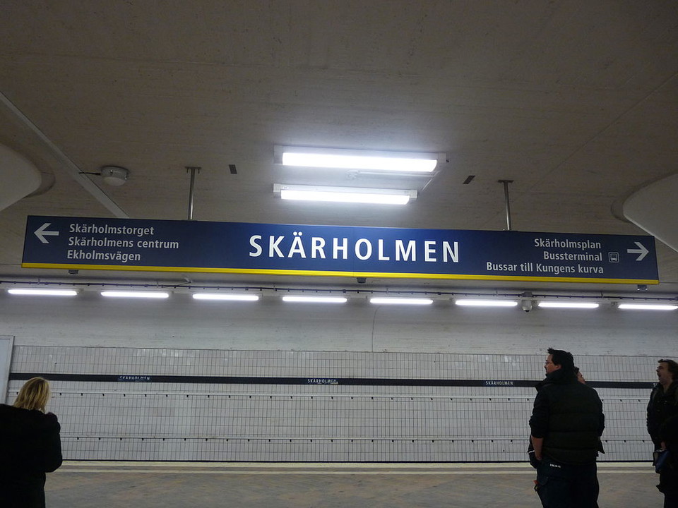
Hälsans stig - Stockholm Skärholmen – Bredäng
- Hiking
- Wheelchair accessible
- Near toilet
- County: Stockholms län
- 6830.46 km away from you
Trail details
- Length 9.0 km
Actions
Description
Stigen går från Skärholmens centrum längs Mälarens strand och slutar vid tunnelbanestation Bredäng.
Activities And Facilities
- Hiking
Accessibility
- Wheelchair accessible
- Near toilet
Contact
Address
Det är kommunen som skapar och sköter om Hälsans stig. Men det är Riksförbundet HjärtLung som står bakom konceptet. Mer information, besök hjart-lung.se
Email address
Riksförbundet HjärtLung
Organization logotype

I’ve been here 18




I want to go here 30






Questions & Answers
Ask a question to other Naturkartan users.
Reviews
0 reviews
- 5 :
- 4 :
- 3 :
- 2 :
- 1 :
Users images
No user images yet. Be the first to share!
