
-
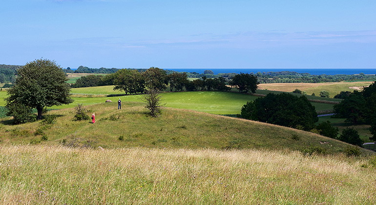
Brösarps södra backar.
Photo: Björn Olsson -
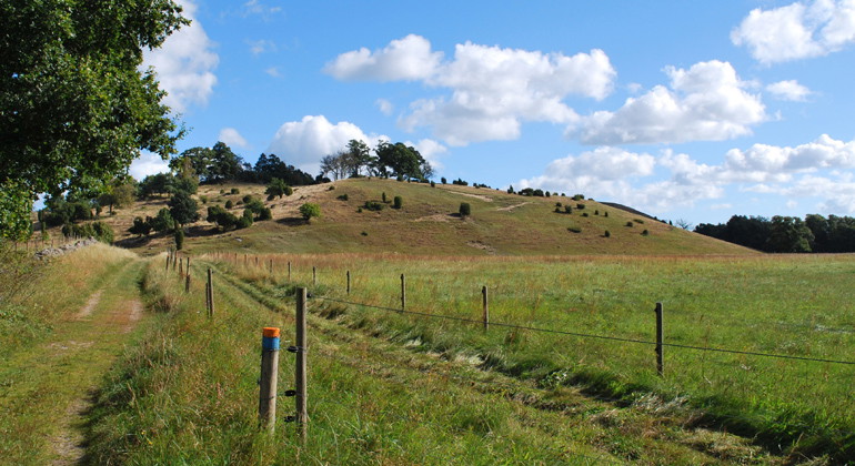
Vandringsled i Brösarps norra backar.
Photo: Mona Persson -
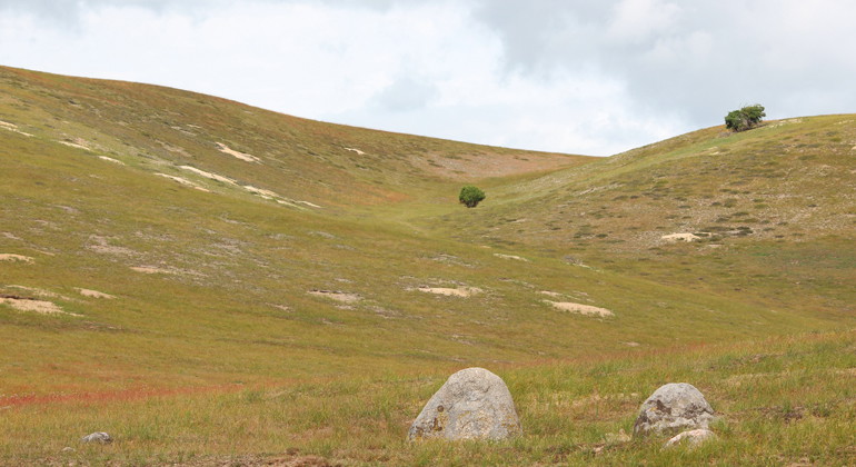
Brösarps norra backar.
Photo: Patrik Celander -
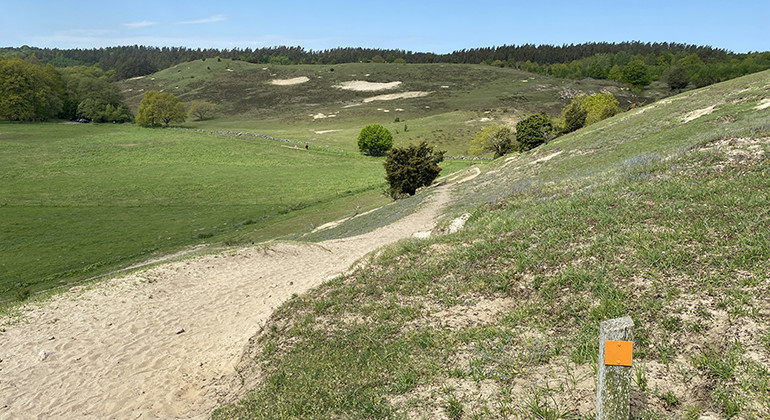
Brösarps norra backar.
Photo: Carina Zätterström -
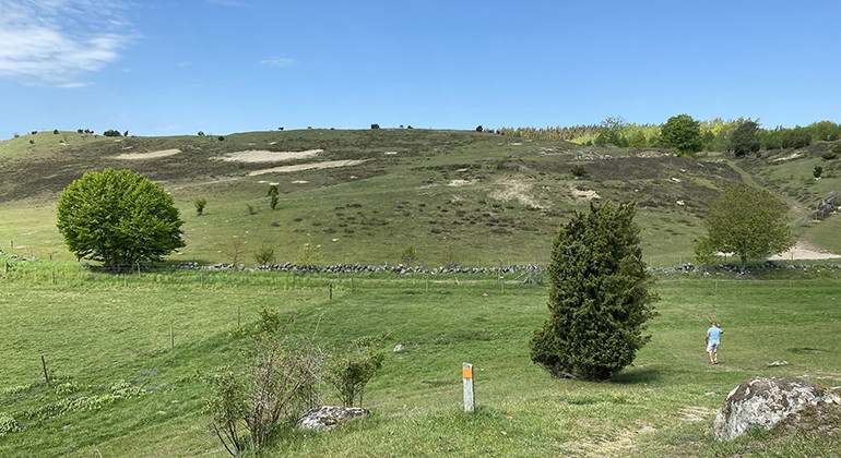
Photo: Carina Zätterström -
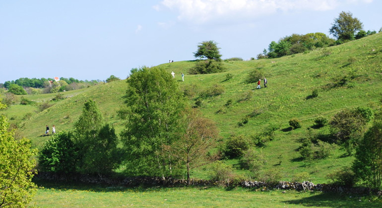
Photo: Mona Persson -
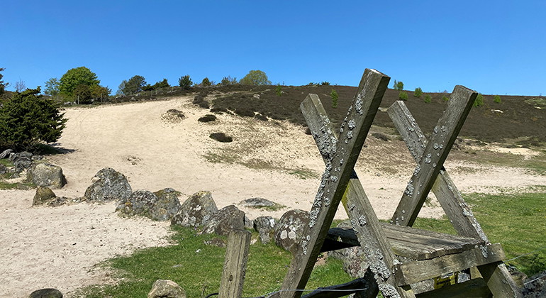
Stätta.
Photo: Carina Zätterström -
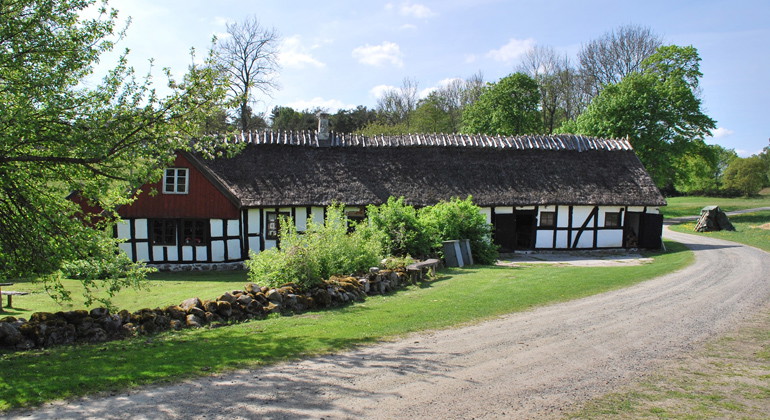
Glimmebodagården.
Photo: Mona Persson -
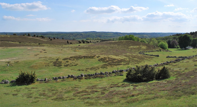
Brösarps norra backar.
Photo: Mona Persson -
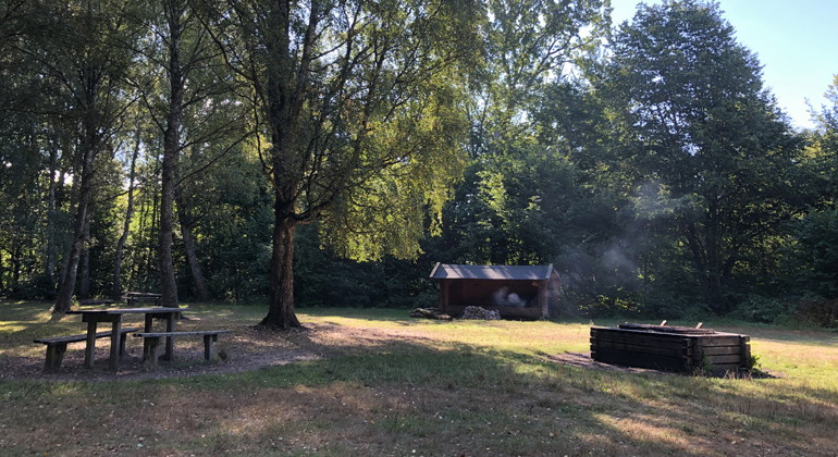
Rastplats vid Vantalängan.
Photo: Carina Zätterström -
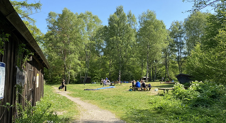
Vantalängan.
Photo: Carina Zätterström -
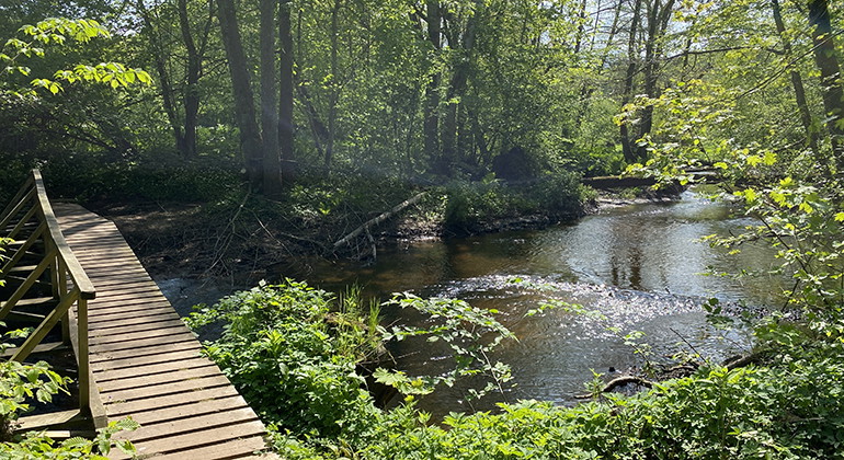
Vid Vantalängans rastplats.
Photo: Carina Zätterström -
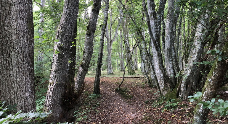
Photo: Carina Zätterström -
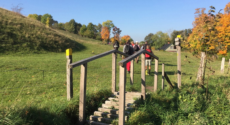
Backaleden.
Photo: Carina Zätterström -
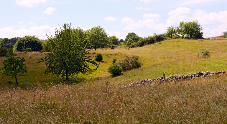
Brösarps södra backar.
Photo: Björn Olsson -
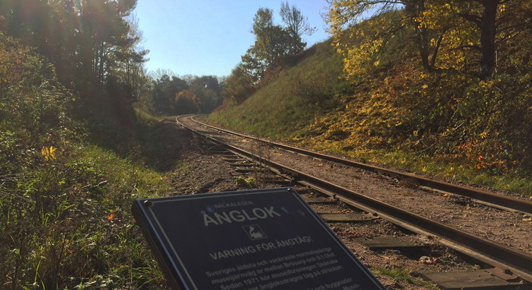
Ånglok.
Photo: Carina Zätterström -
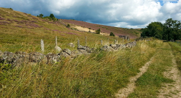
Photo: Maria Sandell -
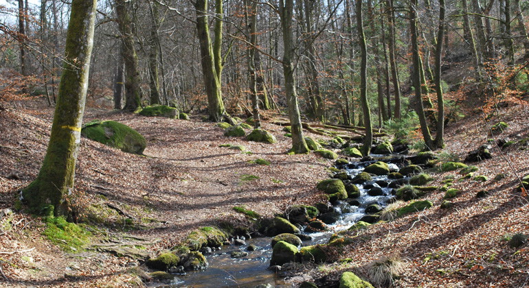
Photo: Mona Persson -
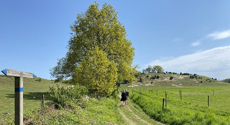
Brösarps norra backar, södra delen av Glimmebodaleden.
Photo: Carina Zätterström -
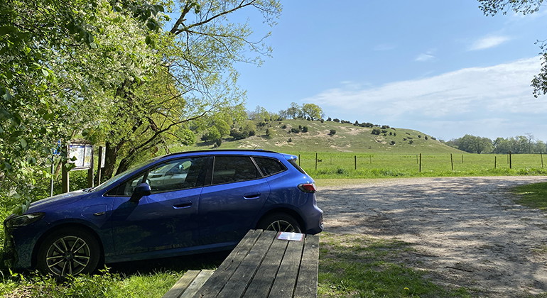
Brösarps norra backar, parkering södra delen av Glimmebodaleden.
Photo: Carina Zätterström -
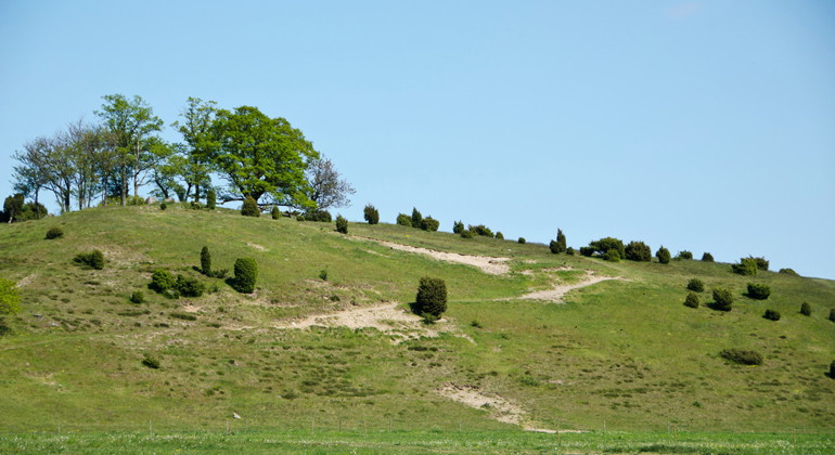
Photo: Maria Sandell
Verkeån, delområde 1, Naturreservat
- Nature reserve
- County: Skåne län
Actions
Description
The Verkeån river flows through deep ravines, through forest and meadow and finally cuts through the sandy slopes of Brösarp as we approach the sea. Brösarp's hills, both the northern and southern ones, are part of a vast and hilly pastoral landscape that offers views of the glittering waters of the Baltic Sea. The Backaleden and Skåneleden trails run on either side of the Verkeån river. And the bridges provide different options for walking around. Glimmebodaleden takes you past the homestead of the same name. At Vantalängan in the far west you can both barbecue and spend the night. When you leave the reserve in the east, Havängsdösen and the cool waters of the Baltic Sea await.
Play or pause the slideshow
Planned nature conservation burning in March-April
Sometimes the meadow must burn, so that species do not disappear! That's why the County Administrative Board is carrying out planned conservation burning in several protected areas during March-April, including here.
Ancient sand hills
You are now in the eastern part of Verkeåns nature reserve, sub-area 1. The mighty sand hills and ridges were created when the last ice sheet retreated about 15,000 years ago. Some slopes have 45 meter deep sand layers. People have been living in the area since the Stone Age, as evidenced by the many imaginative ancient remains. The grassy hills have been used as pasture for hundreds of years and were probably open and unforested by the 17th century.
The floral splendor of Brösarp's hills
Depending on whether the sand contains clay or lime, different plant communities develop. Brösarp's southern slopes are known for their yellow-white spring color of cowslips and almond flowers, while Brösarp's northern slopes change to purple during summer and autumn with flowering thyme and heather.
The heat-loving animals of the sandy fields
In the sun-warmed, sandy slopes, several unusual insects have their nests. There are plenty of burrowing stick insects, sand bees and dung beetles. Several of the dung beetles, including the heath dung beetle and hard dung beetle, are rare. Among the rarities of the beetle fauna is the characteristic moonhorn beetle with its rhinoceros-like appearance.
The heat-loving sand lizard thrives in the open sandy areas. In spring and early summer, the males change into their mating plumage and turn a magnificent emerald green. The legless copper lizard can also be found in the reserve.
The varied landscape is also home to a rich bird life. The kingfisher darts along the river valley, and in the pasture, the shrike sits looking for insects from the top of a bush. Buzzards and red kites are often seen patrolling the rolling landscape.
Unusual fish in the clean waters of the river
Through the open landscape, the presence of the Verkeån is revealed by a winding curtain of trees. The trees play an important role in shading and purifying the river water. The inflow of cool groundwater helps to keep the water temperature down in summer and the fast-flowing water has plenty of oxygen. This means that the river is rich in wildlife. Unusual insect larvae and fish, such as brook lamprey and stone loach, have found refuge here.
Outdoor life
There are great hiking opportunities in this hilly landscape. Both Skåneleden (SL4 Österlen, stage 6) and Backaleden pass through the area on either side of Verkeån. Both trails are about 20 km one way, but there are a number of transitions that make it possible to make shorter round trips. In the north-western part of the reserve there is also the Glimmeboda trail (5 km). You can only pitch a tent and spend the night at Vantalängan, which is located in the western part (maximum one night). There is also the opportunity to grill. Remember to bring your own charcoal and to take your trash home. Rest areas, toilets and parking lots are available at Vantalängan, Brösarp's southern and northern slopes, including the Swedish Transport Administration's rest area Piraten along road 19. Thank you for showing consideration for the grazing animals!
**OBS: The trails in the reserve have been damaged by previous high water flows and storms and are still difficult to access in places. We are trying to fix this as soon as we can, but the work is extensive and takes a long time. We regret this!
In English
Welcome to Verkeån (subarea 1) Nature Reserve
You are now in the eastern River Verkeån Nature Reserve, Delområde 1. The impressive sandy hills were created when the ice melted around 15.000 years ago. People have lived in the area since the Stone Age, which is reflected in the many archaeological remains. The grass covered hills have been used for grazing for hundreds of years and have likely been free of woodland since the 1600s.
The southern hills called Brösarps södra backar are renowned for the spring carpet of yellow and white cowslips and meadow saxifrage whilst the northern hills called Brösarps norra backar are tinged with purple during the summer and autumn from flowering breckland thyme and heather.
Many unusual insects have made their homes in the sunny and warm sandy slopes. There are lots of burrowing, solitary bees and wasps as well as dung beetles. The varied landscape provides for a rich bird-life with both resting migrating birds and nesting rarities such as kingfisher.
The proximity of the River Verkeån is revealed in the open landscape by a meandering line of trees. The rapid flowing water is cool and full of oxygen, which means that it is rich in wildlife with unusual insects and fish.
Regulations
Within Verkeån delområde 1 Nature Reserve it is forbidden to:
- set up notice-boards, adverts, signs, drawings and other similar notices,
- dig up or pick flowers or in any other way damage the vegetation,
- camp, stay overnight in caravans or park at places other than those available to the public,
- play radios, gramophones, tape-recorders, etc., in such a manner as to disturb others,
- drive mopeds or motor vehicles of any type elsewhere than on the roads placed at the disposal of the public and to enter fruit-plantations other than those accessible from roads and pathways specifically placed at the disposal of the public,
- damage ground or enclosures, etc.,
- light fires except at those places where this is explicitly permitted,
- be accompanied by dogs unless these are on a lead,
- carry out scientific or other investigations likely to disturb the natural environment without the permission of the County Council.
- Within part of the nature reserve, during the period from April 15 to November 15, it is prohibited to take off or land with an aircraft within grazing land, or to fly a remotely controlled unmanned aircraft (including model aircraft) at an altitude below 120 meters above sea level (see map in Appendix 1 ).
- Within part of the nature reserve, during the period from April 15 to November 15, it is prohibited to cycle within grazing land (see map in Appendix 1 ).
Activities And Facilities
- Nature reserve
Facts
Established: 1975
Size: 1424 hectares
Municipality: Simrishamn, Tomelilla
Administrator: County Administrative Board of Skåne
Protection type: Nature reserve and Natura 2000
Directions
Walk, cycle, take public transport or drive here. Map and directions via Google maps or coordinates (WGS84).
Regulations
Full regulations for visitors
In addition to regulations and prohibitions in other laws and regulations, it is forbidden to:
- affix any board, placard, poster, sign, inscription or similar device
- digging up or picking flowers or otherwise damaging vegetation
- camp, set up a caravan or park other than in places specifically designated for the public or on a developed plot
- use a radio, gramophone, tape recorder etc. in a disruptive manner
- drive a moped, motorized vehicle or other motorized means of transport other than on roads specifically designated for the public or enter orchards if this cannot be done on roads and paths specifically designated for the public
- damage land or fences or other structures
- light fires other than in places designated for the public
- bring an unleashed dog
- carry out scientific or other studies that may disturb the natural environment, however, the county administrative board may authorize such studies.
- Within part of the nature reserve, during the period 15 April - 15 November, it is prohibited to take off or land with aircraft, or fly remotely operated unmanned aircraft (including model aircraft) at an altitude of less than 120 meters above mean sea level (see map appendix 1 ),
- In part of the nature reserve, it is forbidden to ride bicycles in pastures during the period April 15 - November 15 (see map appendix 1 ),
Map appendix 1, Verkeån subarea 1 Pdf, 2.5 MB, opens in new window
Regulations updated 2018-07-31
Contact
Address
Under LÄNKAR kommer du till aktuell reservatssida på Länsstyrelsens webbplats, med fördjupande information som kartor, broschyrer och hänvisning till relevanta aktörer. Här finns även en rapportfunktion för dig som vill lämna uppgifter om naturreservaten som vi förvaltar.
Email address
Organization logotype

Please be aware that some of these texts have been automatically translated.
I’ve been here 4

I want to go here 3
Questions & Answers
Ask a question to other Naturkartan users.
Reviews
0 reviews
- 5 :
- 4 :
- 3 :
- 2 :
- 1 :
Users images
No user images yet. Be the first to share!
