
-
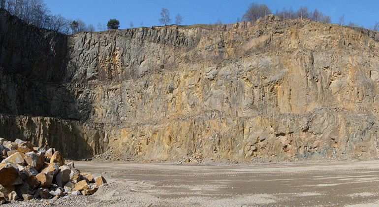
Branta stup vid bergtäkten.
Photo: Länsstyrelsen -
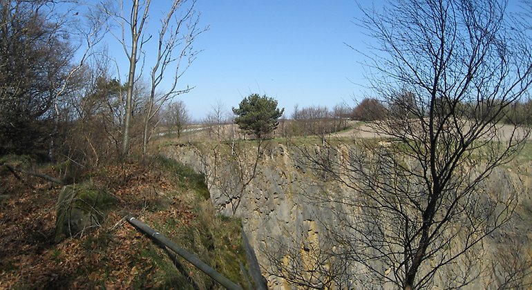
Bergvägg.
Photo: Jörgen Nilsson -
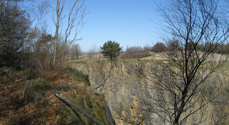
Photo: Jörgen Nilsson -
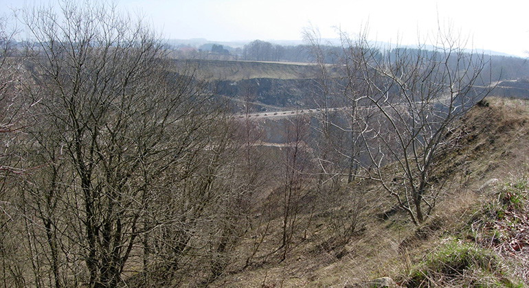
Photo: Länsstyrelsen -
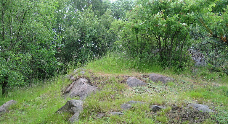
Photo: Mayra Caldiz -
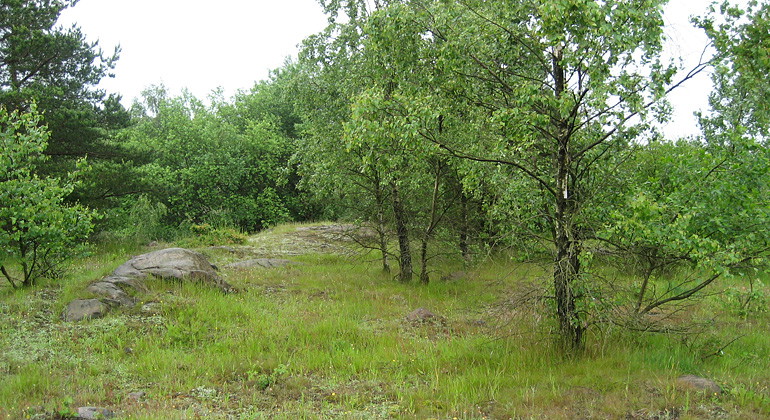
Photo: Mayra Caldiz -
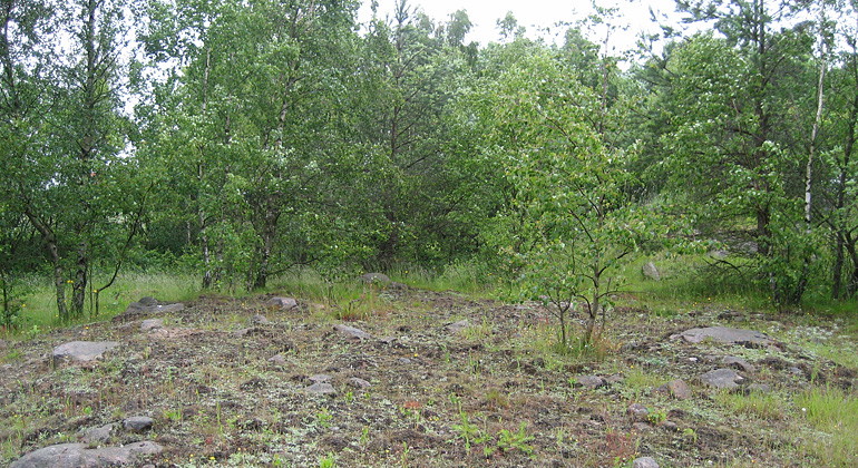
Photo: Mayra Caldiz
Stenberget, Naturreservat
- Nature reserve
- County: Skåne län
Actions
Description
Activities And Facilities
- Nature reserve
Facts
Established: 1976
Size: 4 hectares
Municipality: Skurup
Manager: County Administrative Board of Skåne
Protection type: Nature reserve
Directions
Walk, cycle, take public transport or drive here. On the map, you can click on a parking lot or access point. For directions, click on the 'Find here' arrow (below the map).
Regulations
**Within the area, special rules and restrictions apply to the right of public access.
For example, it is forbidden to:
- burning
- remove fossil material
It is important to note that this is only a selection of the rules.
Full regulations for visitors
In addition to regulations and prohibitions in other laws and regulations, it is forbidden to:
- altering the surface or drainage conditions of the area, digging, blasting, drilling, excavating, draining, filling or otherwise working loose deposits
- setting fires
- removing fossil material
- affixing any board, placard, poster, sign, inscription or similar device.
Contact
Address
Under LÄNKAR kommer du till aktuell reservatssida på Länsstyrelsens webbplats, med fördjupande information som kartor, broschyrer och hänvisning till relevanta aktörer. Här finns även en rapportfunktion för dig som vill lämna uppgifter om naturreservaten som vi förvaltar.
Email address
Organization logotype
Please be aware that some of these texts have been automatically translated.
I’ve been here
I want to go here
Questions & Answers
Ask a question to other Naturkartan users.
Reviews
0 reviews
- 5 :
- 4 :
- 3 :
- 2 :
- 1 :
Users images
No user images yet. Be the first to share!
