
-
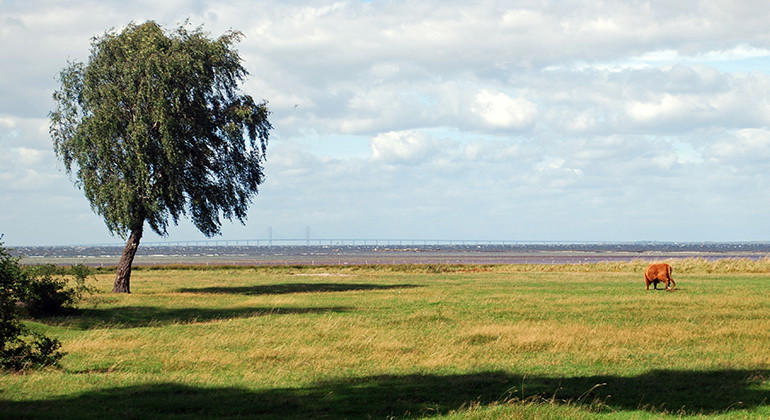
Ko på bete.
Photo: Jörgen Nilsson -

Photo: Jörgen Nilsson -
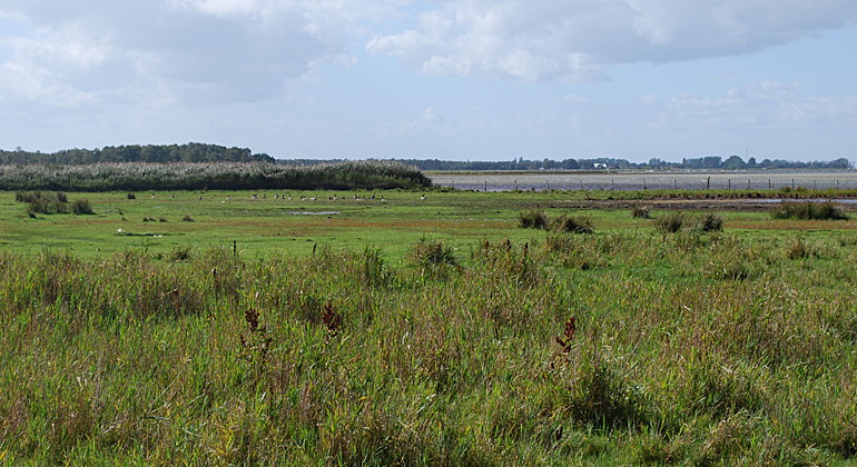
Photo: Jörgen Nilsson -
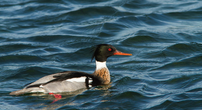
Småskrake.
Photo: Alex Regnér -
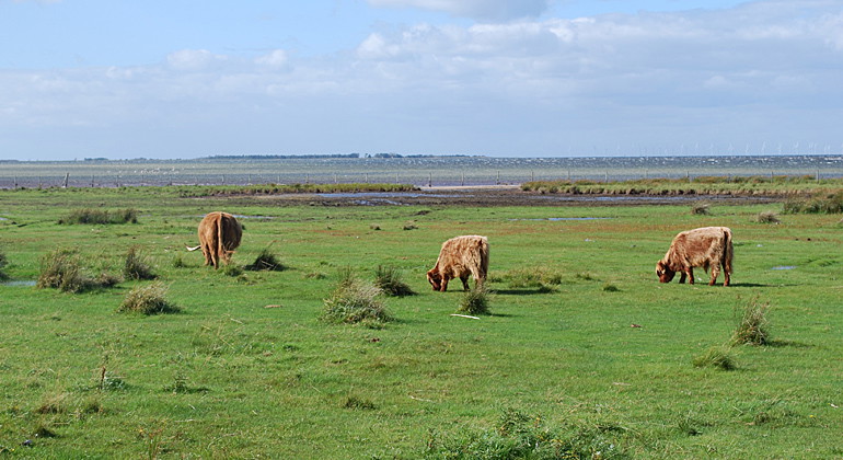
Photo: Jörgen Nilsson -
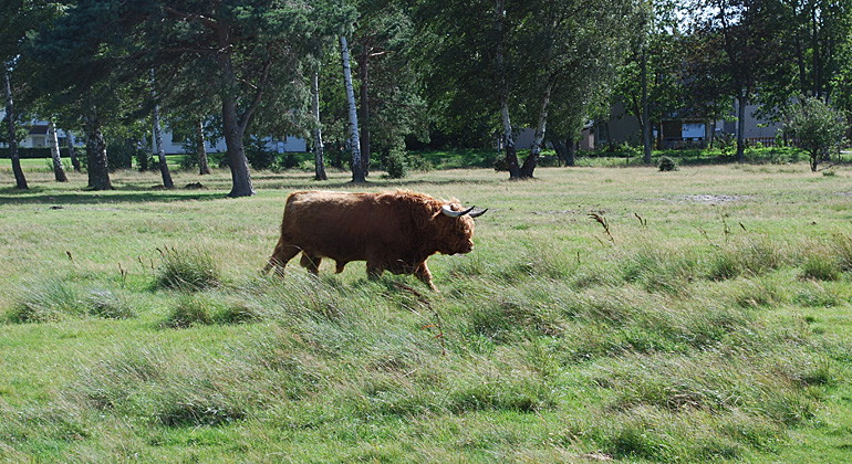
Photo: Jörgen Nilsson -
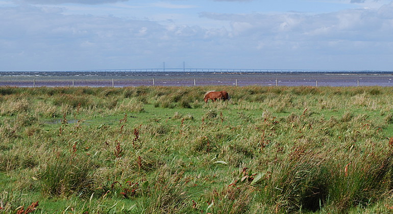
Photo: Jörgen Nilsson -
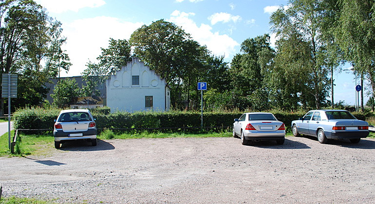
Parkering.
Photo: Jörgen Nilsson
Norra Ljunghusen, Naturreservat
- Nature reserve
- County: Skåne län
Actions
Description
Activities And Facilities
- Nature reserve
Facts
Established: 1995
Size: 187 hectares
Municipality: Vellinge
Administrator: County Administrative Board of Skåne
Protection type: Nature reserve and Natura 2000
Directions
Walk, cycle, take public transport or drive here. Map and directions via Google maps or coordinates (WGS84).
Regulations
**Within the area, special rules and restrictions apply to the right of public access.
For example, it is forbidden to:
- make fires
- camping
- setting up a caravan/mobile home
- cycling outside cycle paths or forest roads
- kitesurf, windsurf and operate watercraft according to map appendices 1a-1f.
It is important to note that this is only a selection of the rules.
Full regulations for visitors
In addition to regulations and prohibitions in other laws and regulations, it is forbidden to:
- digging, drilling, painting or otherwise damaging boulders, living or dead trees and shrubs
- deliberately disturbing wildlife
- dig up plants
- camping or setting up a caravan, camper van or similar
- park other than in designated places
- ride a bicycle other than on an existing cycle path or forest road
- make a fire
- affix a board, poster, poster, sign, inscription or similar device
Please note that the Norra Ljunghusen nature reserve is partly located within a larger nature reserve, Falsterbohalvöns havsområde, where the following regulations also apply. The italicized regulations are those that affect Norra Ljunghusen geographically:
In addition to regulations and prohibitions in other laws and regulations, it is forbidden to:
- windsurfing or kitesurfing throughout the year within the areas indicated by red or green shading on the attached maps, appendices 1a-1f, and during the period March 1-July 1 within the area indicated by solid red color,
- operate craft at sea at a speed exceeding 5 knots within the areas marked with red shading or solid red on the attached maps, Annexes 1a-1f
- operate craft at sea at a speed exceeding 10 knots in the areas indicated by blue-red marking or green shading on the attached charts, Annexes 1a-1f
- drive or launch personal watercraft, jet skis or similar craft other than in public fairways. The regulation does not prevent the launching of jet skis or personal watercraft in the port of Skanör for the shortest route to the public fairway No. 205 Drogden-Blenheim SJÖFS 1988:5 or launching in the Falsterbo Canal for continued travel in this public fairway; No. 206, SJÖFS 1988:5.
Map appendices 1a-1f, Falsterbo Peninsula sea area Pdf, 2.8 MB, opens in new window
Contact
Address
Under LÄNKAR kommer du till aktuell reservatssida på Länsstyrelsens webbplats, med fördjupande information som kartor, broschyrer och hänvisning till relevanta aktörer. Här finns även en rapportfunktion för dig som vill lämna uppgifter om naturreservaten som vi förvaltar.
Email address
Organization logotype
Please be aware that some of these texts have been automatically translated.
I’ve been here 1

I want to go here
Questions & Answers
Ask a question to other Naturkartan users.
Reviews
0 reviews
- 5 :
- 4 :
- 3 :
- 2 :
- 1 :
Users images
No user images yet. Be the first to share!
