
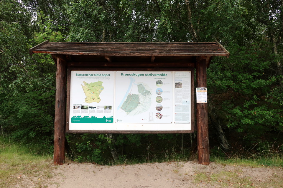
Gula spåret Kronoskogen Ängelholm
- Hiking
- Walking
- Running
- Trail running
- Near parking
- Near Public Transport
- Circular trail
- County: Skåne län
Trail details
- Length 6.0 km
Actions
Description
Activities And Facilities
- Walking
- Running
- Hiking
- Trail running
- Circular trail
Accessibility
- Near parking
- Near Public Transport
Contact
Address
Ängelholm är vackert belägen i nordvästra Skåne omsluten av Kullahalvön och Bjärehalvön, med det mesta och bästa runt hörnet.
Email address
Karin Storm, fritidsutvecklare
Organization logotype

Please be aware that some of these texts have been automatically translated.
I’ve been here 1

I want to go here 1

Questions & Answers
Ask a question to other Naturkartan users.
Reviews
0 reviews
- 5 :
- 4 :
- 3 :
- 2 :
- 1 :
Users images
No user images yet. Be the first to share!
