
-
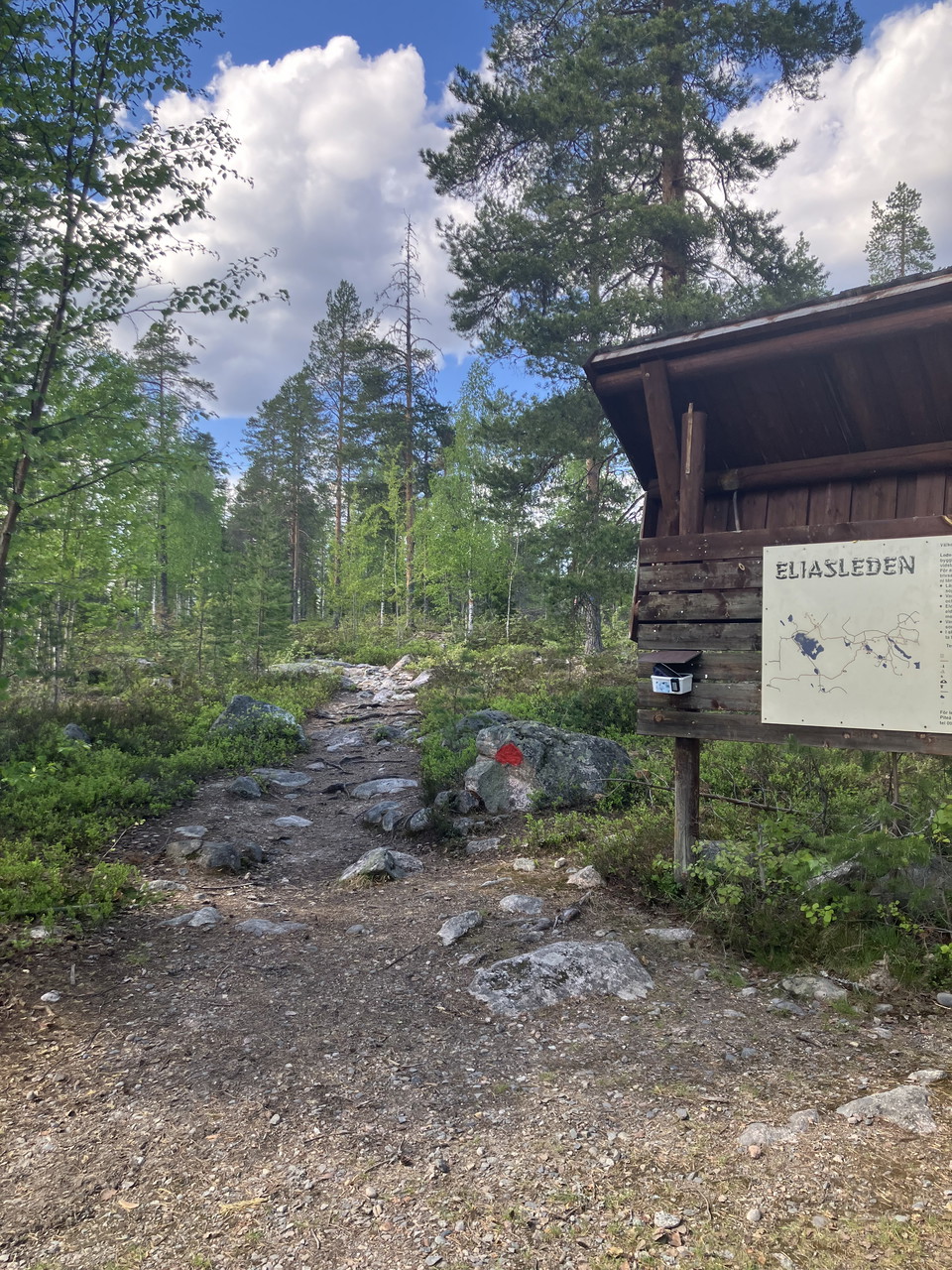
Informationsskylt
Photo: Foto Jenny Axelsson -
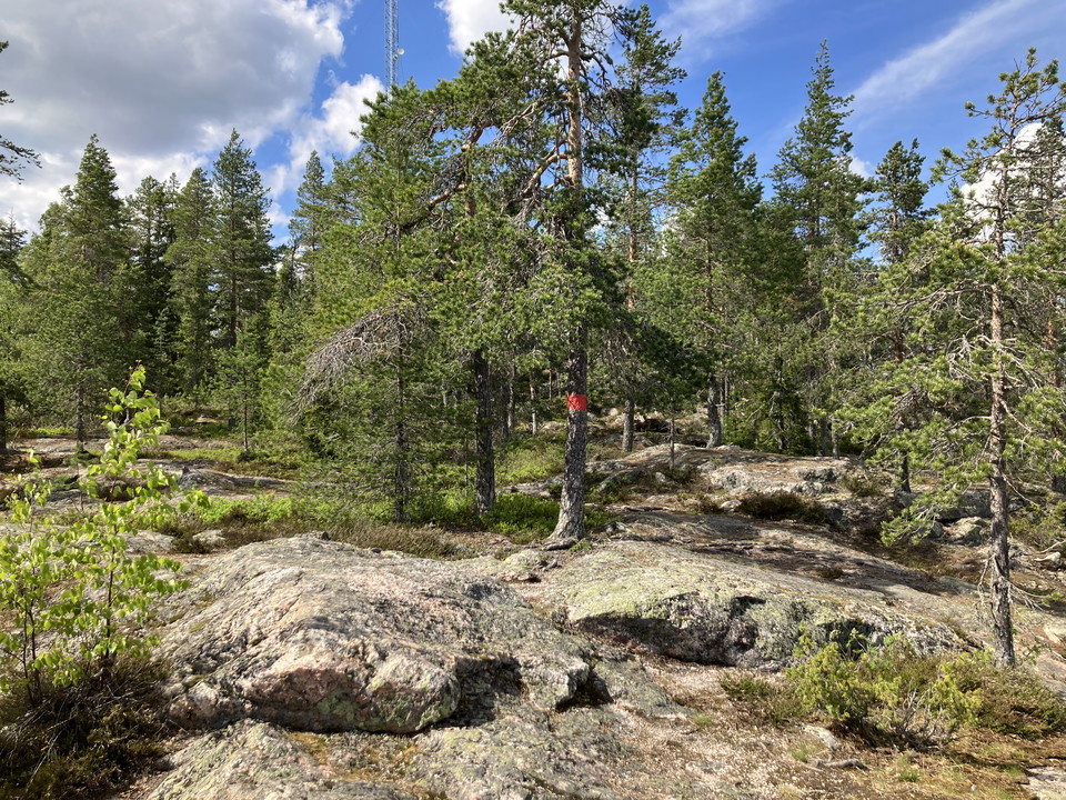
Photo: Foto Jenny Axelsson -
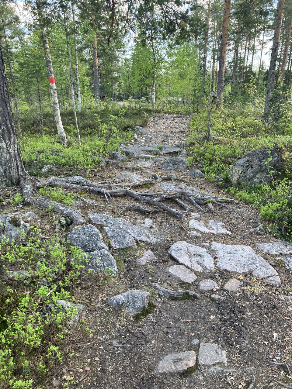
Photo: Foto Jenny Axelsson -
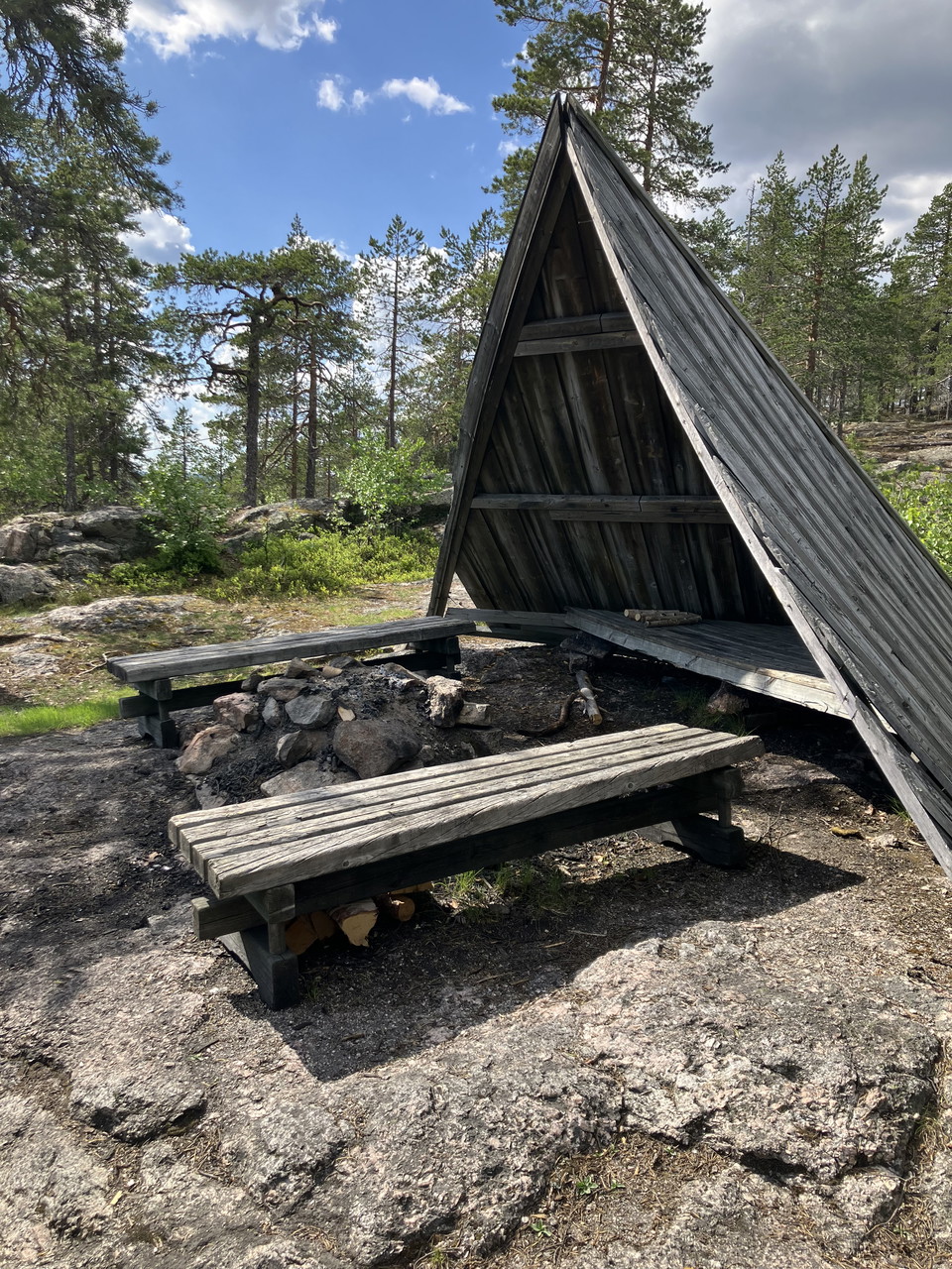
Vindskydd
Photo: Foto Jenny Axelsson -
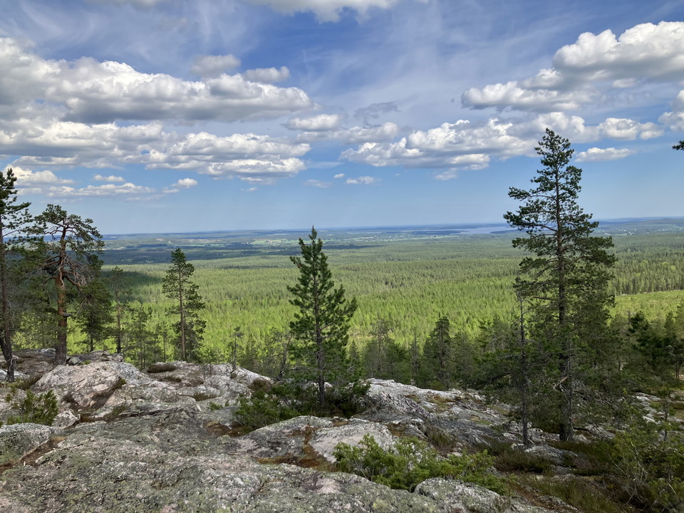
Utsikt från toppen
Photo: Foto Jenny Axelsson
Vandringsstig Kalahatten
- Hiking
- County: Norrbottens län
- 6628.27 km away from you
Trail details
- Length 1.5 km
Actions
Description
Activities And Facilities
- Hiking
Facts
Viewpoint mountain with a wonderful view of Svensbyfjärden and further out to sea. On the back of the mountain, just below the clearly marked coastline, is a large shingle field. There is a 4,000-year-old sacrificial site here. On the top of the mountain there are shelters and fireplaces. The path up to Kalahatten is part of the 26 km long Elias Trail.
Eliasleden is a nice hiking trail with very varied terrain that starts in Svensbyn and stretches all the way up to Kalahatten. It is possible to make many different route choices and those who want can advantageously divide the hike into two days with overnight stays along the way. The trail has a fascinating history and is named after the legendary grand thief Elias.
Directions
About 20 km W Piteå. Follow road 373 towards Arvidsjaur, turn off in Stockbäcken towards Kalamark. At the parking lot there is an information board and a dry toilet.
Contact
Email address
Piteå kommun
Organization logotype

Please be aware that some of these texts have been automatically translated.
I’ve been here 2

I want to go here 1
Questions & Answers
Ask a question to other Naturkartan users.
Reviews
0 reviews
- 5 :
- 4 :
- 3 :
- 2 :
- 1 :
Users images
No user images yet. Be the first to share!
