
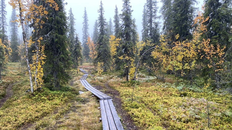
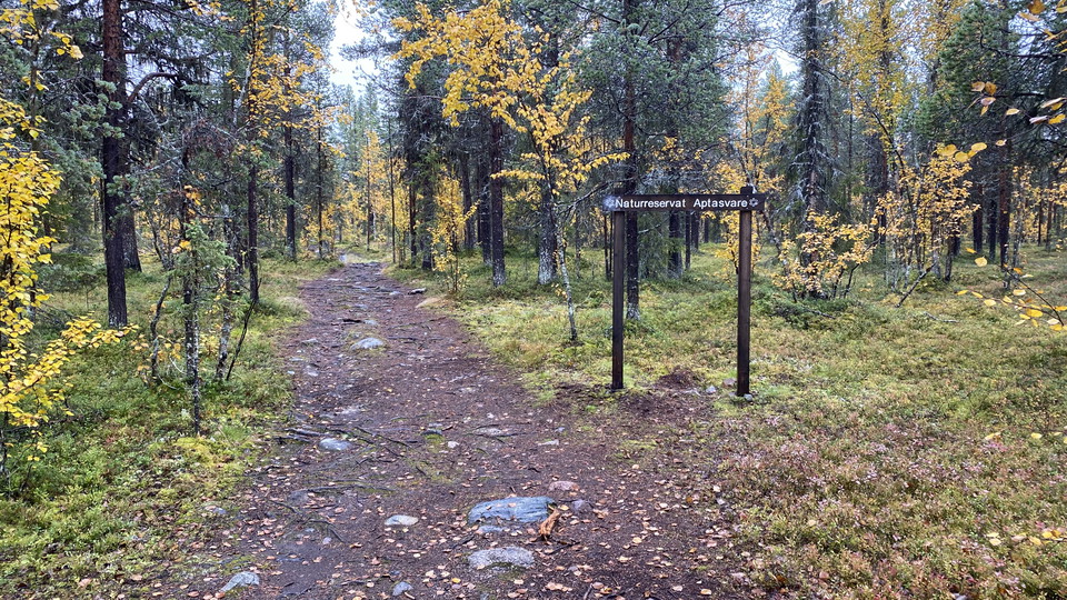
Trail, top of Aptasvaara mountain, Aptasvare
- Hiking
- County: Norrbottens län
- 6466.05 km away from you
Trail details
- Length 6.6 km
Actions
Description
A trail up to the top of the mountain Aptasvaara. When the weather is clear there is a nice view from the top towards Kiruna city and also towards the mountains. There are two trails back and forth to the parking spot. The eastern trail is three kilometres and the western trail is 3.6 kilometres (one way).
Activities And Facilities
- Hiking
Contact
Email address
Länsstyrelsen Norrbotten
Organization logotype

I’ve been here 12





I want to go here 21

Questions & Answers
Ask a question to other Naturkartan users.
Reviews
0 reviews
- 5 :
- 4 :
- 3 :
- 2 :
- 1 :
Users images
No user images yet. Be the first to share!
