Ruonekjåhkå-Laisstugan-Nasafjäll
Hiking
- County: Norrbottens län
- 7490.45 km away from you
Trail details
- Length 48.0 km
- Time 16 h
Actions
Description
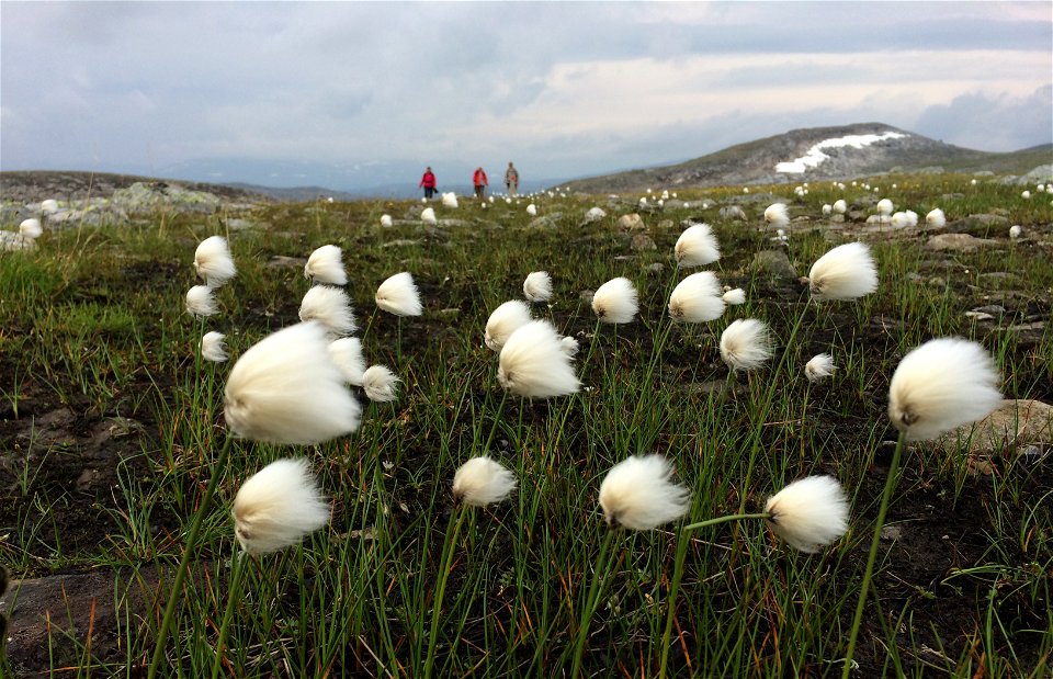
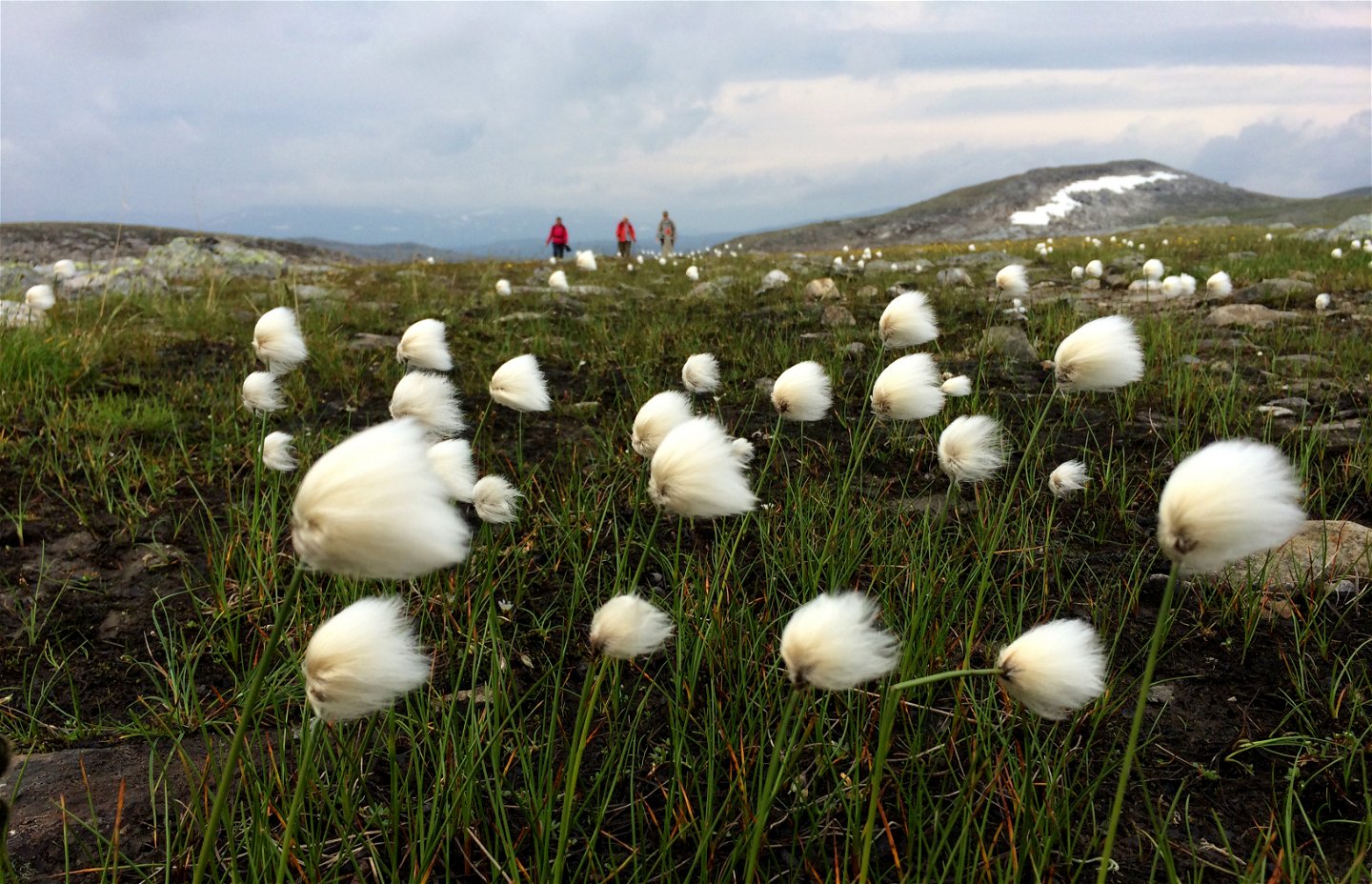
This trail stretch is unique in the Swedish mountains, with few hikers and a beautiful, majestic panorama towards the high mountains and two valleys. The hike is between the rivers Skellefteälven and Laisälven.
Ruonekjåhkå–Laisstugan cabin, 18 km
You start at a stopover cabin near the roaring Ruonekjåhkå stream. One kilometre from Ruonekjåhkå you come to an area dense in osier. On the west side there is an abandoned Sámi goahte hut – this area is part of the lands of Semisjaur-Njarg Sámi community.
The trail’s highest point lies at 1,130 m asl., c. 2 kilometres south-west of the summit Gujkkultjårro, 1,207 m asl. The Sámi name gujkkul means roughly ”mountain ridge that dries itself”. On the north-western side of the trail rises the mountain Ruonektjåhkkå to 1,515 m asl. After the wooden bridge across Dádtjajåhkå, the terrain becomes more low-lying. There are no plankways. If you want to keep your shoes drier you can stay closer to the slope and re-join the trail later.
This is a beautiful hike!
It is easy to become euphoric when your gaze meets the deep Laisdalen Valley and the mountains to the east. The terrain is green but rocky. The last 10 km to the Laisstugan cabin slopes downwards. Soon you reach an area dense in osier and a strong flowing stream. Where the trail indicates, you cannot wade across without water reaching above the knees. However, 350 metres upstream it is shallower.
Right next to the broad and gushing river lies the Laisstugan cabin. You can spend the night here if you have pre-booked. You book and rent the key to the overnight room via Adolfströms Handelsbod, +46(0)961-230 41. One room in the cabin is open to day visitors.
Laisstugan–Nasafjäll, 30 km
The trail continues along Laisälven River, but first you cross a bridge over a fast flowing river – Áksjojåhkå. It is a breathtakingly beautiful place which invites a stopover or overnight stop in a tent. What remains now is a 30 km stretch to Nasafjäll.
The first c. 18 kilometres mainly comprise level hiking ground which sometimes follows the X-signs of the winter trail. In places the hiking is fine, but some stretches are wet and rocky. The hiker preferably walks the drier parts closer to the river, then switching to higher ground when the terrain becomes richer in osier and low-lying.
Historically, this was part of a trade route to Norway. In the mining era on Nasafjäll in the 1770s the trail led to a smeltery at Adolfström. The mining era ended in the 1810s. If while hiking you look westwards you can see Skuortatjåhkka mountain which reaches 1,290 m asl. Here too there was mining – in the years 1975–1977. At a distance you can see two reindeer herder cabins at Sierggasuolo. They belong to Svaipa Sámi community.
However, your sights are now set on the historical orefield on the south slope of Nása mountain. The last 3 km stretch takes you higher. The vegetation is very sparse, the terrain is rocky and soon you can see the mine openings. Downstream from the mine openings the land is contaminated. So take your drinking water outside the signposted area.
A short way south of the mine cabin there is grassland where you can pitch a tent. The mine cabin at Nasafjäll is intended for short stopovers and has room for 7–8 people. There is a table, seating and emergency telephone on the site, but there is no stove or latrine. You may only spend the night in an emergency. Outside the cabin there is a grill facility.
If you do not wish to hike the same trail back you can hike on via Guijaure (the Verdejaure-Guijaure trail). You can also take the connected trail westwards into Norway. That trail is just over 7 kilometres long.
Duration: Total 2–3 days
Activities And Facilities
-
Hiking
Facts
Utflyktsguide Nasafjäll, Arjeplogs kommun (2015)
Historien om Nasafjäll silvergruva, på Adolfströms handelsbod och stugbys webbplats
Lästips: Janrik Bromé (1923): Nasafjäll, ett norrländskt silververks historia
(Swedish)
Surface
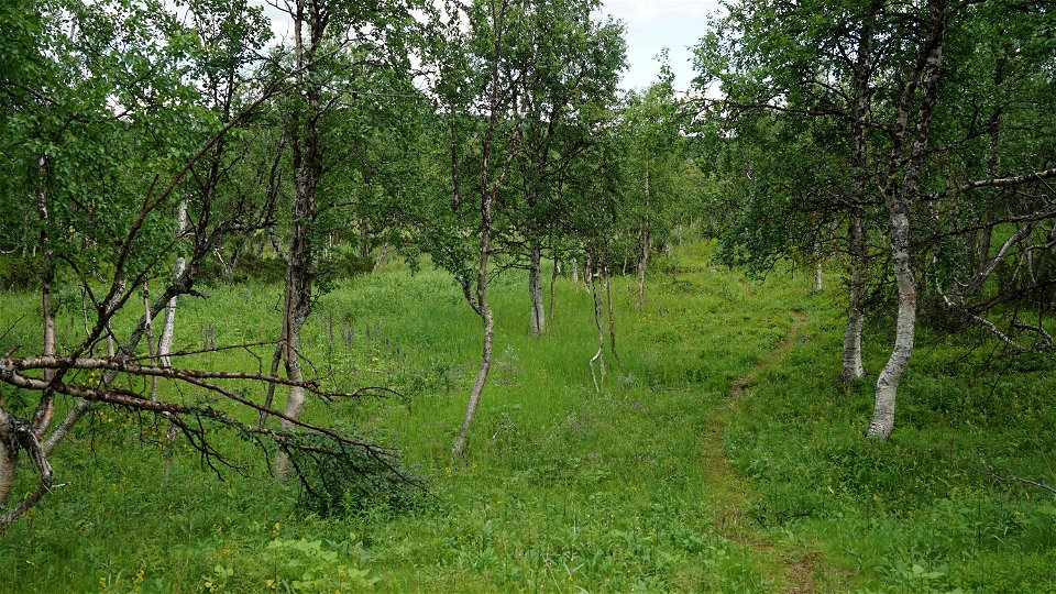
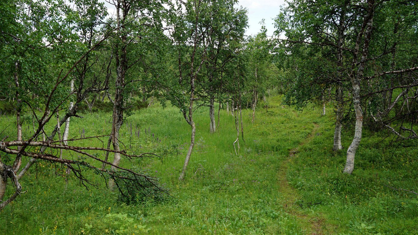
Varied terrain. First mountain birch forest and osiers, then mountain moor. Many wet areas without plankways. Restoration of the trail is planned for 2022–2024.
Contact
Email address
Länsstyrelsen Norrbotten
Organization logotype

Questions & Answers
Ask a question to other Naturkartan users.


