
-

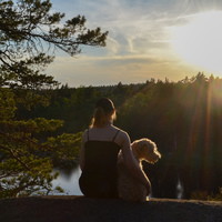
Photo: Peter Rutherhagen/Johnér -
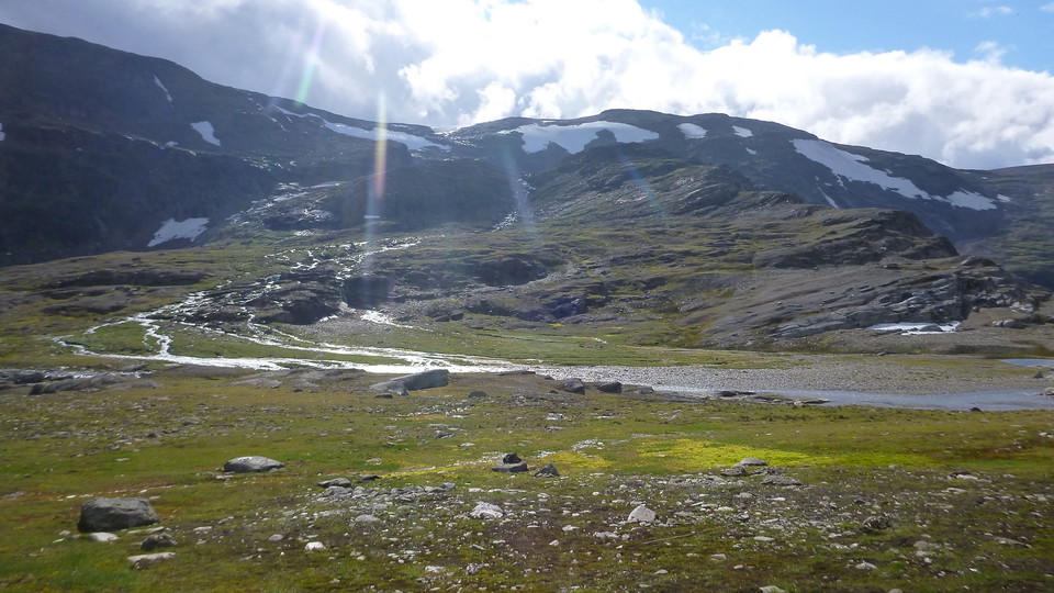
-
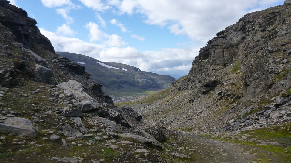
Vargpasset -
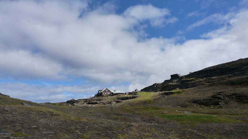
Låkta Mountain Lodge -
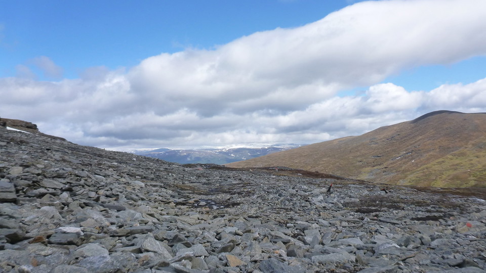
Måndalen
Låktatjåkka-Abisko
- Hiking
- Guide: Länsstyrelsen Norrbottens län
- 6358.85 km away from you
Trail details
- Length 27.0 km
Actions
Description
Activities And Facilities
- Hiking
Surface
Låktatjåkka station-Låktatjåkko mountain station: Easily hiked surface. The climbing however, involving more than 700 m altitude difference, makes the hike demanding.
Låktatjåkko mountain station-Abisko Turiststation: Varied surface comprising rocky terrain, snowfields and easily hiked moorland. Very hilly ground.
Communications
Låktatjåkka station lies about 20 km from Björkliden and 120 km from Kiruna. The E10 highway passes about 1 km north of the train station. The trail starts at the train station, but is also signposted from the E10. The nearest bus stop is at Vassijaure (3 km).
Länstrafiken Norrbotten (bus and coach operator) website Vy Tåg (train operator) website SJ (train operator) website Kiruna Lappland website
Contact
Email address
Länsstyrelsen Norrbotten
Organization logotype

I’ve been here 17







I want to go here 69







Questions & Answers
Ask a question to other Naturkartan users.
Reviews
1 review
- 5 :
- 4 :
- 3 :
- 2 :
- 1 :
Users images
No user images yet. Be the first to share!

finms även en fin led från samma startpunkt med en 5km avstickare till Trollsjön. Vacker dalgång och fins plats vid sjön.