Tapmokberget
Nature reserve
- County: Norrbottens län
- 7555.62 km away from you
Actions
Description
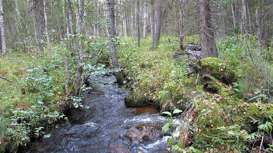
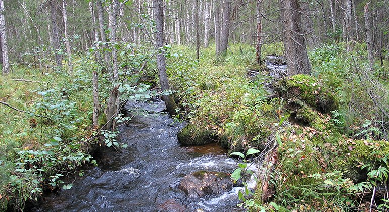
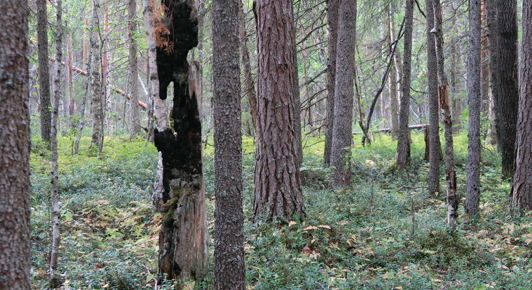
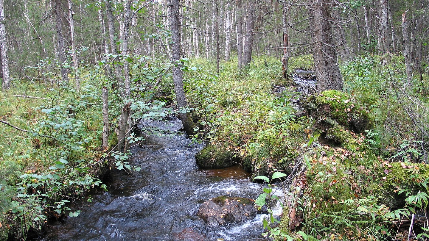
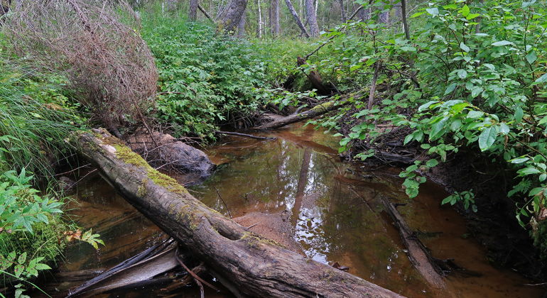
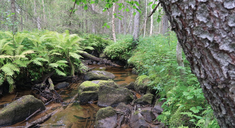
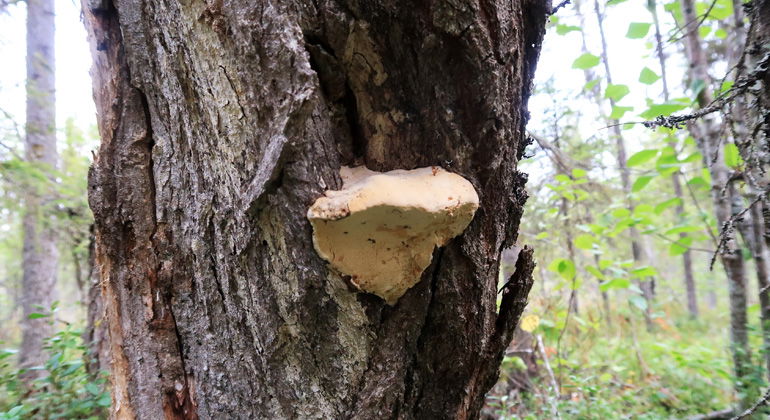
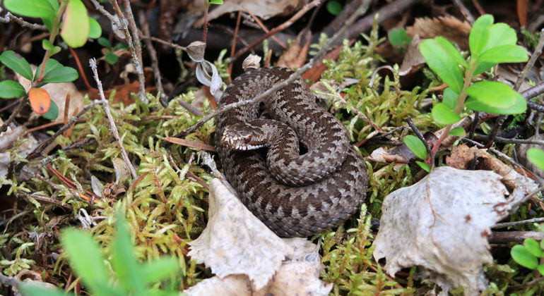
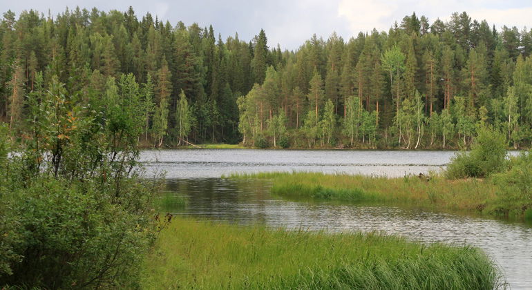
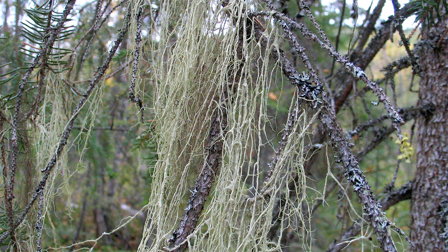
Tapmokberget is just over 300 metres high. The forest in the area has grown largely after forest fires which ravaged the area at the end of the 19th century. Here you find plenty of verdant coniferous forests with a large element of aspen and willow. The forest around Tapmokbäcken stream is bog-like and verdant. The area is 2 square kilometres in size.
Activities And Facilities
-
Nature reserve
Facts
Municipality: Jokkmokk
Year of formation: 2013
Size: 2.1 square kilometers
Administrator: County Administrative Board
Form of protection: Nature reserve
Communications
Tapmokberget mountain lies about 8 kilometres southeast of Vuollerim. The reserve is most easily reached from the east, from road 97, via a logging road which begins in the village of Lagnäs and runs through central parts of the reserve. The nature reserve can also be reached from the south from the gravel road which runs between Lövberget and Kåikul.
Directions
Tapmokberget is located about 8 kilometers southeast of Vuollerim. The reserve is most easily reached from the east from road 97, via a forest road that starts in the village of Lagnäs and runs through central parts of the reserve. The nature reserve can also be reached from the south from the gravel road that runs between Lövberget and Kåikul.
Regulations
Regulations All regulations can be found in the reserve decision. It is permitted to: - hike - camp - make a small fire with loose branches and twigs - pick berries and edible mushrooms - drive snowmobiles on well snow-covered ground - fish and hunt in accordance with applicable laws
Among other things, it is not permitted to damage plant and animal life or to litter. Remember the right of public access and protect nature!
Contact
Email address
Länsstyrelsen Norrbotten
Organization logotype

Please be aware that some of these texts have been automatically translated.
Questions & Answers
Ask a question to other Naturkartan users.


