
-

-

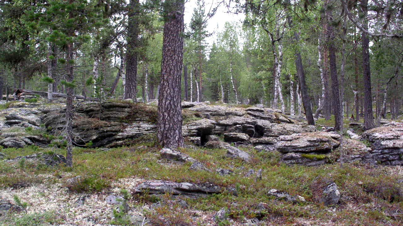
Lompolonperänvaara.
Photo: Länsstyrelsen Norrbotten

Lompolonperänvaara
Nature reserve
- County: Norrbottens län
- 7737.2 km away from you
Actions
Description
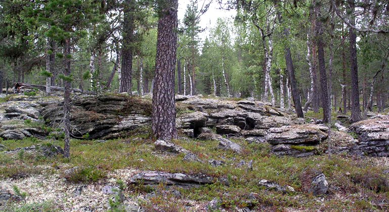
The nature reserve comprises the summit of Lompolonperänvaara mountain, at a height of about 340 metres a.s.l. The easily hiked area consists in mainly although relatively open, beautiful and pristine pine forest. The area is 0.6 square kilometres in size.
Activities And Facilities
-
Nature reserve
Facts
Municipality: Pajala
Year of formation: 2009
Size: 0.6 square kilometers
Administrator: County Administrative Board
Form of protection: Nature reserve
Communications
No roads lead all the way to the nature reserve, but logging roads from different compass points lead close to the mountain.
Directions
The reserve is located about 10 kilometers south of Kitkiöjoki. Along highway 99 (former county road 400), just east of Kitkiöjoki, turn south on a minor road, after about 11.5 kilometers turn east. After about 6 kilometers on forest roads you can reach the vicinity of the nature reserve, but there are still a couple of kilometers without a road.Along highway 99 (former county road 400), between the villages Kitkiöjoki and Kuusiniemi, about 2 kilometers north of Kuusiniemi turn west. After 7-10 kilometers on forest roads you can reach the vicinity of the nature reserve, but there are still a few kilometers without a road.
Regulations
All regulations can be found in the reserve decision. It is allowed to:
- camping
- hike
- make a fire, remember to bring your own wood!
- pick berries and edible mushrooms
- drive snowmobiles on snow-covered ground
- fish and hunt in accordance with the laws in force
It is not allowed to harm plant and animal life. Remember the right of public access and protect nature!
Contact
Email address
Länsstyrelsen Norrbotten
Organization logotype
![]()
Please be aware that some of these texts have been automatically translated.
Questions & Answers
Ask a question to other Naturkartan users.
Reviews
You might also be interested in
