
Stadsviken, hälsans stig
- Hiking
- Near parking
- Near Public Transport
- County: Norrbottens län
- 6717.08 km away from you
Trail details
- Length 4.5 km
- Time 40 min
- Difficulty Green - simple
Actions
Description
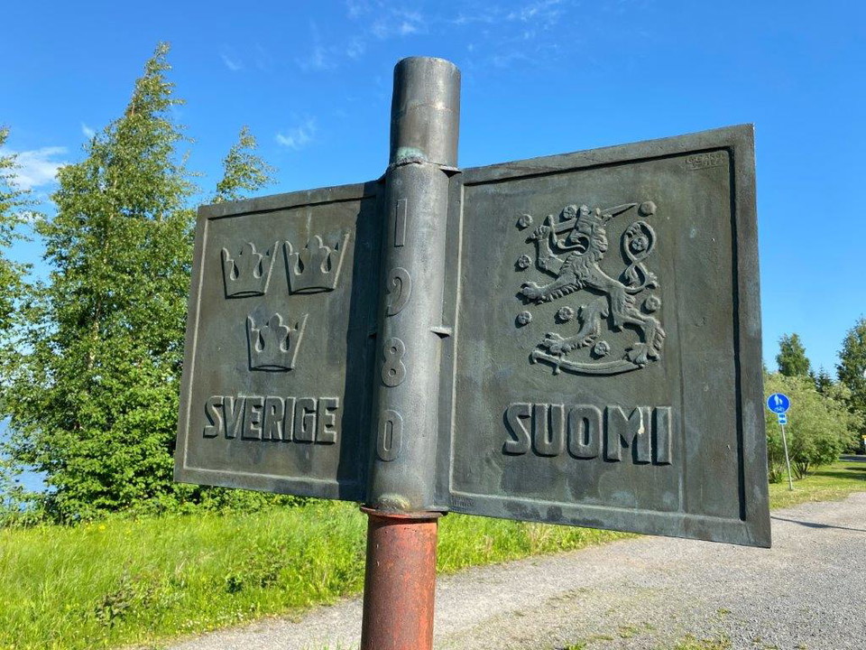
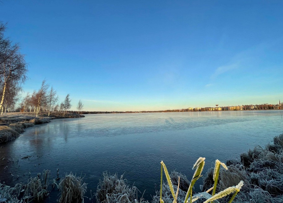
The Path of Health is an exciting loop in a varied environment. In a relatively short distance, you can experience both nature and culture in two different countries. The trail runs around Stadsviken, which means that it runs on both the Swedish and Finnish sides. Along most of the loop, you have close contact with the water and you walk across meadows and through forest areas.
It's possible to get on and off anywhere along the trail, so you choose how far you want to walk. If you go around the whole loop, you'll get a good workout of about 4.5 kilometers.
The surface is flat and consists of gravel or asphalt. On the Swedish side, there is a wide gravel pedestrian and cycle path along the entire western side of Stadsviken. On the Finnish side, the path is slightly narrower than on the Swedish side, but it should still be possible to get around with both a wheelchair and a walker. Should it still be difficult to get around, you can cross the road that runs parallel to the path, where there is a wide, paved footpath and cycle path.
At the northern end of Stadsviken, where you cross the national border, you have to walk a short distance along a narrow paved road. If you are coming from the east, be careful not to miss the turn onto the graveled footpath and cycle path that turns south from the road to follow the bay. There are signs for the footpath, cycle path and cycle track there, but they are hard to see if you are coming from the Finnish side.
There are plenty of places where you can look out over the water. There are occasional benches where you can sit down along the trail.
Activities And Facilities
- Hiking
Accessibility
- Near parking
- Near Public Transport
Contact
Email address
Haparanda stad
Please be aware that some of these texts have been automatically translated.
I’ve been here 1

I want to go here 3

Questions & Answers
Ask a question to other Naturkartan users.
Reviews
1 review
- 5 :
- 4 :
- 3 :
- 2 :
- 1 :
Users images
No user images yet. Be the first to share!


Glöm inte hundpasset ifall du promenerar runt hälsans stig i Haparanda med hund som sällskap.