Görjeån
Nature reserve
- County: Norrbottens län
- 7548.51 km away from you
Actions
Description
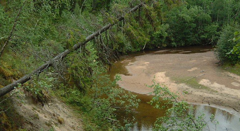
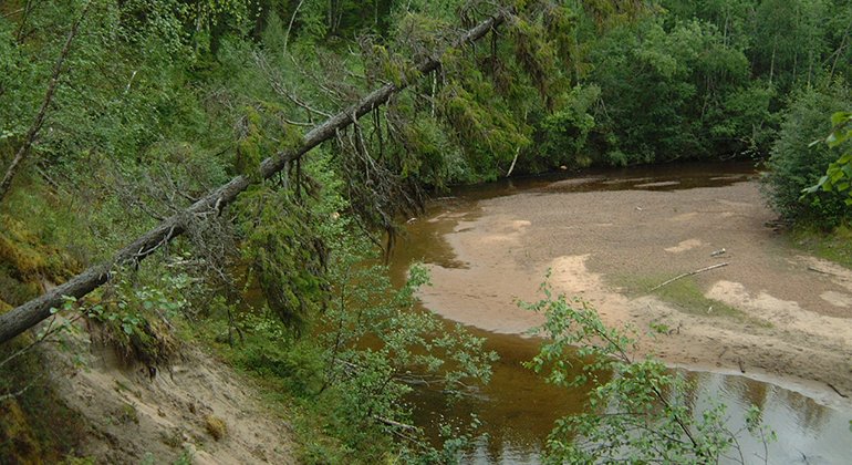
Görjeån stream meanders through a dramatic ravine landscape which it has created itself. Still today the area is being shaped through heavy erosion which makes trees fall into the stream, new sandbanks form and so-called oxbow lakes formed by being cut off when the stream breaks a new course for itself. The flowing water creates shallows that are constantly re-forming. The water of Görjeån is of good quality and of high natural values. Both quarters and beavers are found along Görjeån. In many places, the forest is verdant, with tall grass and flowers. The area is 8 square kilometres in size.
Activities And Facilities
-
Nature reserve
Facts
Municipality: Boden and Jokkmokk
Year of formation: 2014
Size: approximately 8 square kilometers
Administrator: County Administrative Board
Form of protection: Nature reserve and Natura 2000
Communications
The reserve lies about 11 kilometres south of Vuollerim and is most easily reached from the north via the public road from Vuollerim.
Directions
The reserve is located about 11 kilometers south of Vuollerim and is best reached from the north via a public road from Vuollerim.
Regulations
All the regulations are set out in the reserve decision. Among other things, it is permitted to: - hike - camp - drive a snowmobile on snow-covered ground - make a fire. Use only loose twigs and branches. - pick berries and edible mushrooms - hunt in accordance with the laws in force
Among other things, it is not permitted to: - pan for gold or other minerals - damage plant and animal life - litter
Remember the right of public access and protect nature!
Contact
Email address
Länsstyrelsen Norrbotten
Organization logotype

Please be aware that some of these texts have been automatically translated.
Questions & Answers
Ask a question to other Naturkartan users.


