
-
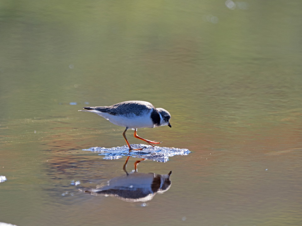
Common ringed plover (Charadrius hiaticula).
Photo: Göran Wallin
Røysvatnhytta (the Norwegian border) - Valldajåhkå, The Arctic Trail
- Hiking
- County: Nordland
- 6326.88 km away from you
Trail details
- Length 24.5 km
Actions
Description
The trail markings are poor in places, and the trail itself is indistinct. The snow remains for a long time in the area, and often it is not possible to hike here until the beginning of July. Several watercourses have to be waded. It is normally possible to wade from the end of July and till August. In early summer however, it can actually be dangerous.
About 2 km from the national border, the border trail between Ritsem and Tysfjord is crossed. The hike continues in a south-westerly direction, and eventually follows an even downhill slope west of Âhpárijtjårro mountain. The river at the northwestern end of Lake Sårgåjávrre is waded. The river is stony and wading staffs can be useful. At high water it can be dangerous to pass here. The trail continues up the slope of Rikkek mountain. Rikkekjåhkå dream is waded and the journey continues southwards towards the next summit (992m asl). The trail passes some smaller lakes east of Lake Jiegnjajávrasj. South of the lakes you reach a pass that is close to 826 m asl, and then comes a short downward slope. The trail keeps to the same altitude along the east side of Skájdevárre mountain. Skájdejåhkå stream is waded. Shortly after the wade, the trail starts to descend. Down at the marshes by Valldajåhkå stream, the trail suddenly changes direction and joins a trail heading west. After 1.5 kilometres, Valldajåhkå stream is waded and then you follow the trail up to where it joins the trail between Vaisaluokta cabin and the Norwegian border. The wading can be difficult, especially in the beginning of the hiking season.
Duration: 8-10 hours
Activities And Facilities
- Hiking
Surface
Varied surface, both easily-hiked mountain moors and rocky stretches. The trail is indistinct in places.
Contact
Email address
Länsstyrelsen Norrbotten
Organization logotype

I’ve been here 1

I want to go here
Questions & Answers
Ask a question to other Naturkartan users.
Reviews
0 reviews
- 5 :
- 4 :
- 3 :
- 2 :
- 1 :
Users images
No user images yet. Be the first to share!
