
Vaggeryd
Best hiking trails in Vaggeryd
Naturkartan samlar de vandringslederna i Vaggeryd som är populärast bland våra användare.
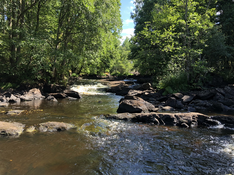
Map
20 Best hiking trails in Vaggeryd

Anslutning Hok station - HÖ19/HÖ20
- Municipality: Vaggeryd
- 6747.80 km away from you
- 1.4 km
En omarkerad avstickare på 1,6 km (enkel väg) mellan huvudleden och Hok station. Vid stationen finns tåg- och bussanslutning.
Anslutning Byarum kyrka - HÖ20/HÖ22
- Municipality: Vaggeryd
- 6739.62 km away from you
- 0.6 km
The detour follows the Munkaleden pilgrimage trail between the homestead and the church in Byarum. The distance is 640 m (one way). At Byarum church there is a stop "Byarum".
Anslutning Skillingaryd station - HÖ21/HÖ22
- Municipality: Vaggeryd
- 6741.68 km away from you
- 1.6 km
An unmarked detour between Skillingaryd station and the main trail at Grönelund recreation area. At Skillingaryd station, trains can stop on both sides of the railway tracks. The digital information boards show at which track each train stops. Buses stop on…
Avstickare Alnaberget (utsikt)
- Municipality: Vaggeryd
- 6751.15 km away from you
- 0.0 km
A detour of about 20 m (one way) to a view on Alnaberget.
Avstickare Stoarp (offerkälla)
- Municipality: Vaggeryd
- 6751.50 km away from you
- 0.0 km
A detour of about 8 m (one way) to an old sacrificial spring. At the metal sign there are three giant pots created during the last ice age.
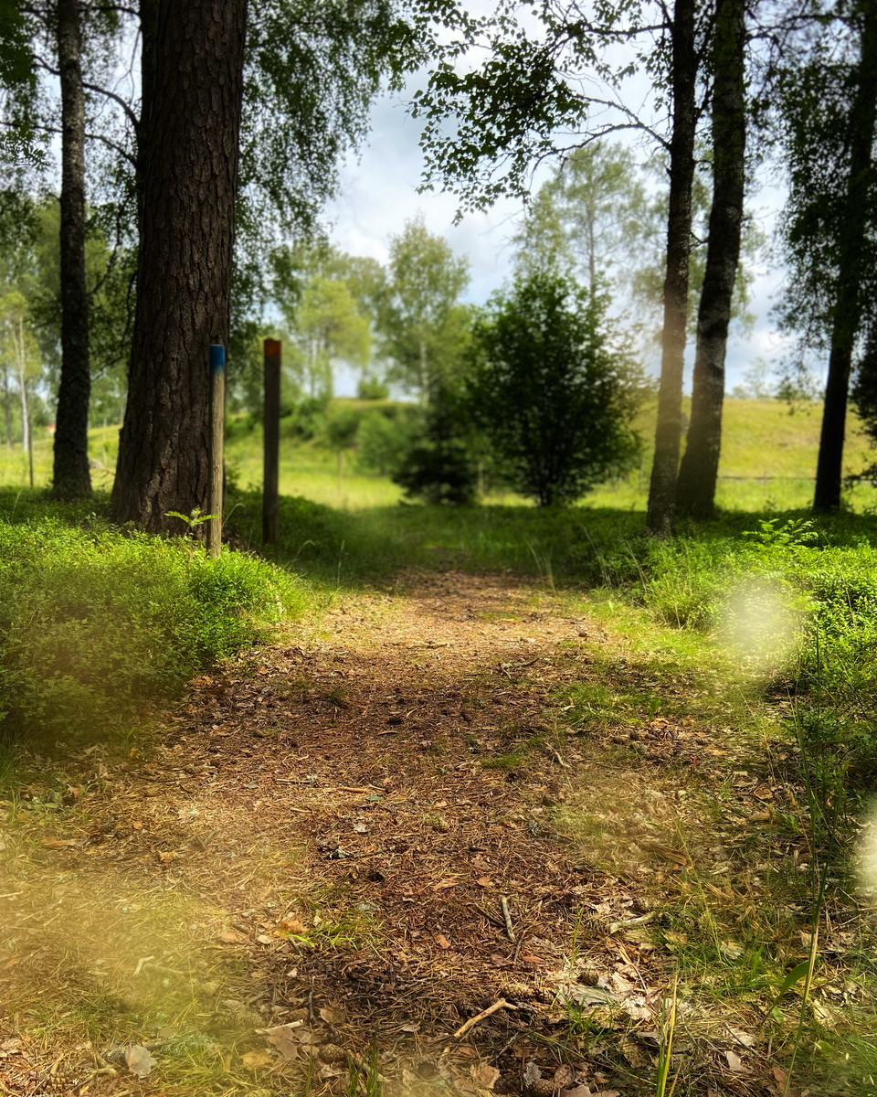
Gärahovs storäng
- Municipality: Vaggeryd
- 6739.85 km away from you
- 1.1 km
An approximately 1.2 km circular trail takes you around the reserve. The trail is marked with orange posts (sparse) and there is an opening at each end of the loop. The circular trail is not part of the Smålandsleden trail, but is an alternative route. The…
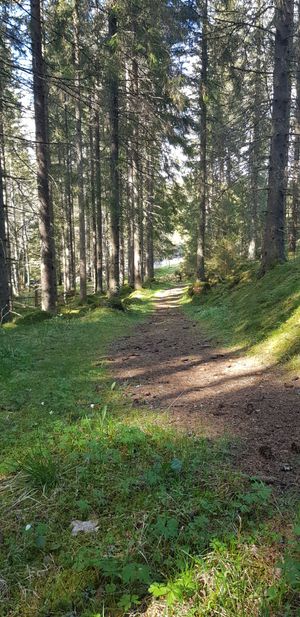
Munkagårdsleden - St. Birgitta Ways
- Municipality: Vaggeryd
- 6739.60 km away from you
- 44.2 km
This trail offers a hike in the monks' footsteps through the landscape that covers the lands, estates, and farms once belonging to Nydala Abbey, donated by farmers and landowners to the abbey. This hike starts at Munkehatt and goes through Svenarum, Hok, an…
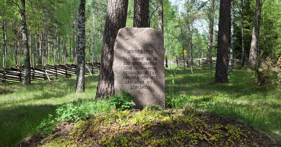
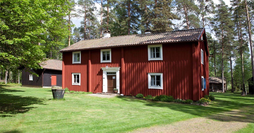
Höglandsleden stage HÖ20 Hok - Byarum - Part of Smålandsleden
- Municipality: Vaggeryd
- 6739.75 km away from you
- 15.4 km
- 230
- Difficulty: Blue
At Hooks Herrgård there is a trail entrance that can take you towards Byarum or Tomtabacken. Hooks Herrgård is beautifully situated by the lake and there is a well-reputed golf course, SPA and accommodation. If you are not looking for this type of accommoda…
Höglandsleden stage HÖ21 Byarum - Skillingaryd - Part of Smålandsleden
- Municipality: Vaggeryd
- 16.3 km
- 245
- Difficulty: Blue
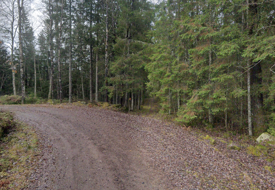
The stretch between the entrances Byarums Hembygdsgård and Grönelund Friluftsanläggning runs partly in coniferous forest and partly in more open cultural landscapes such as at Södra Duveled. The trail passes a couple of lakes and several croft and mill rem…
Höglandsleden stage HÖ22 Skillingaryd - Åsafors - Part of Smålandsleden
- Municipality: Vaggeryd
- 6730.39 km away from you
- 24.2 km
- 360
- Difficulty: Blue
At the edge of Skillingaryd is Grönelund, which is the trail entrance for HÖ22 towards Åsafors or Byarum. You walk here along paths and gravel roads through the Småland forest. You pass the farm Bissefäll along the trail, here lived and worked “”Bissefällar…
Detour, Sandsjön swimming lake
- Municipality: Vaggeryd
- 6744.88 km away from you
- 0.1 km
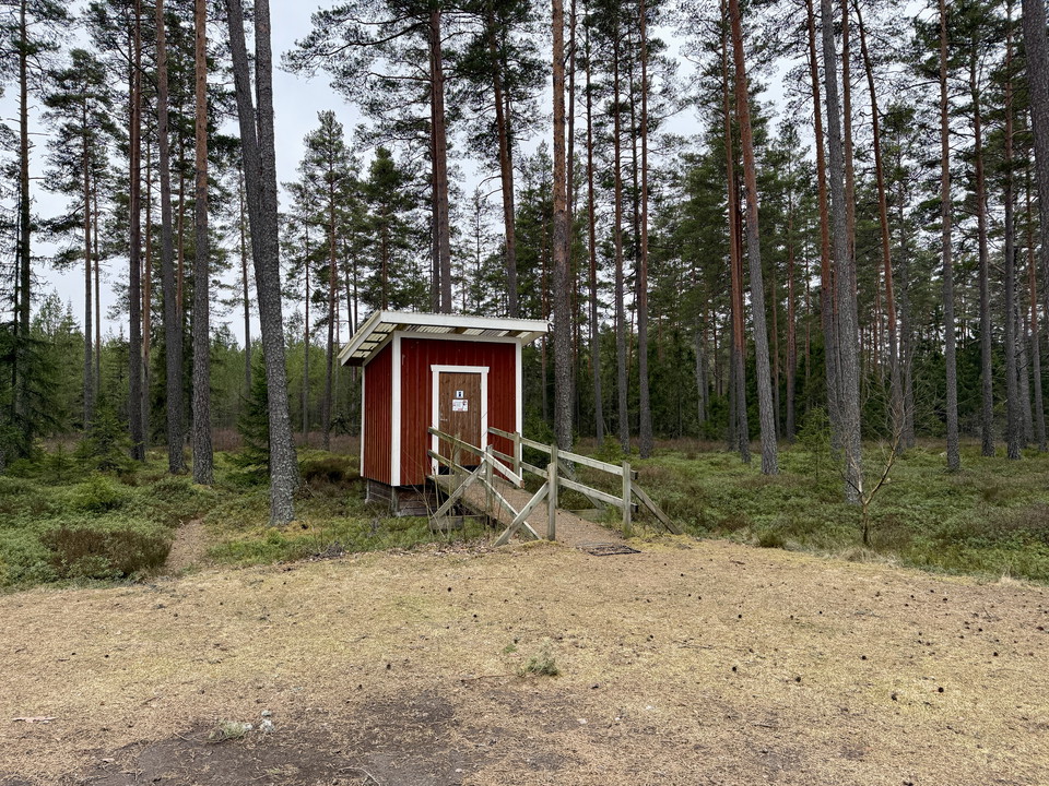
At Sandsjön's bathing area there is a windbreak, a simple barbecue area and a dry toilet.
Anslutning Lyngemadens naturreservat
- Municipality: Vaggeryd
- 6745.65 km away from you
- 2.4 km
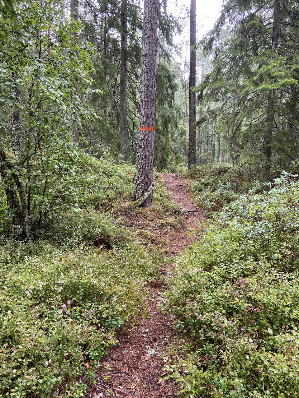
This is a connection from the trail entrance Hooks Herrgård and the stages HÖ19 and HÖ20 on Höglandsleden - Part of Smålandsleden
Best hiking trails in Vaggeryd
Naturkartan samlar de vandringslederna i Vaggeryd som är populärast bland våra användare.
