New!

Now you can share photos on Naturkartan! 📸

Read more

Best hiking trails in Kungsbacka

Kungsbacka

Naturkartan samlar de vandringslederna i Kungsbacka som är populärast bland våra användare.

Images

Map

55 Best hiking trails in Kungsbacka

Hiking

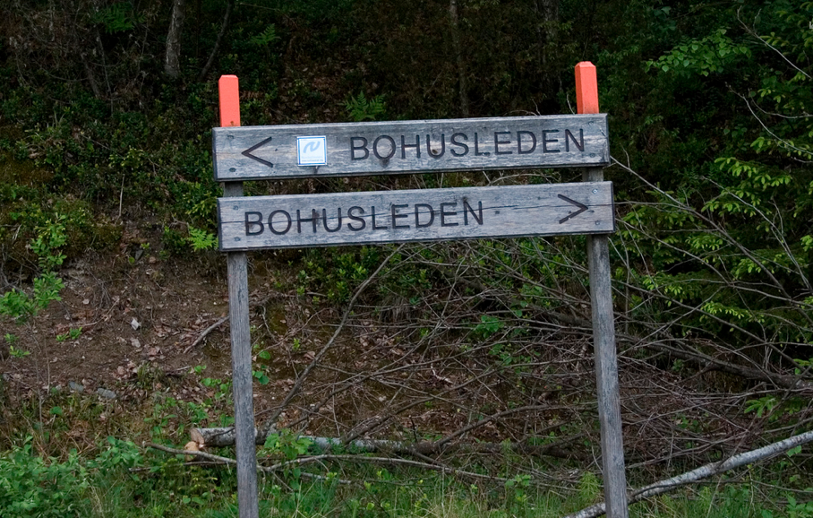
Älvsåker - Stensjön, Bohusleden, etapp 1

  • Municipality: Kungsbacka
  • 6623.42 km away from you
  • 25.0 km
  • 8 h
  • Difficulty: Blue

The route is relatively easy to walk, but still long enough to feel longer than a promenade. After completing the hike, you will have covered almost two miles of the Nordsjöleden/Bohusleden. Start at Blåvättnerna near the border with Halland. The finish is…

Hiking

Röda stigen, Äskhults stigar

  • Municipality: Kungsbacka
  • 6647.30 km away from you
  • 6.0 km
  • Difficulty: Blue

The path is of medium difficulty and goes through hilly terrain. Sturdy shoes or boots are recommended.

Hiking

Äskhult – Stättared, Hallandsleden

  • Municipality: Kungsbacka
  • 15.0 km

Before continuing on the Hallandsleden trail, a visit to the 18th century village of Äskhult is recommended. Buildings and the landscape show what smaller villages looked like two hundred years ago. The Hallandsleden trail first goes over some hills before…

Hiking

Stättared – Dranstugan, Hallandsleden

  • Municipality: Kungsbacka
  • 6655.90 km away from you
  • 18.0 km
  • Difficulty: Red

If you come from the north and have rounded Stora Hornsjön, the trail climbs up to fine natural forests. At the Veddige gates, your legs will struggle to cross the Viskadalen valley. In the deep valley runs the northernmost of the Halland rivers, Viskan. Th…

Hiking

Limmahögsslingan

  • Municipality: Kungsbacka
  • 6641.75 km away from you
  • 5.4 km

The Green Loop is a brand new and slightly longer hiking trail that starts at the nature center.

Hiking

Lislingan 4,2 km

  • Municipality: Kungsbacka
  • 6641.30 km away from you
  • 4.2 km

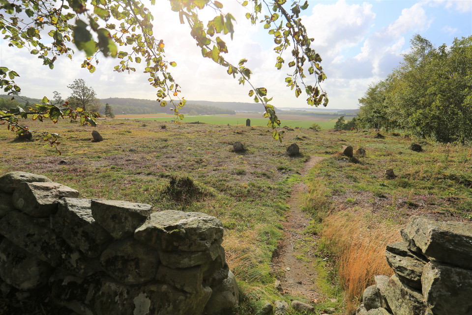
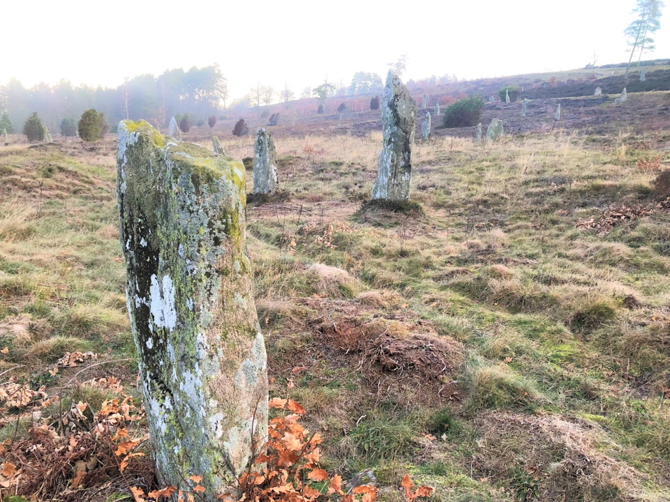
Go through the gate into the sheep pasture, turn down towards Li grave field and cross the road. You walk through the burial ground, one of Sweden's largest burial sites from the Iron Age and Viking Age, with over a hundred erected stones. The Frog Stone is…

Hiking

Lygnernslingan 2,3 km

  • Municipality: Kungsbacka
  • 6641.44 km away from you
  • 2.3 km

The trail starts at the nature center and follows the crest of Bräckan north towards the church. It then goes back east of the road, down over the meadow towards Lake Lygnern and into the forest. In the forest you go back south on an old hollow road. The ro…

Hiking

Naturum Fjärås bräcka – Äskhult, Hallandsleden

  • Municipality: Kungsbacka
  • 10.0 km
  • Difficulty: Blue

After a visit to the Fjärås Bräcka nature center, you walk further in the nature reserve past Li grave field and Svalhögen and continue on the old Förlandavägen past beautiful lakes before reaching the campsite and Äskhults village. The view of Lygnern and…

Hiking

Älvsåker - Naturum Fjärås bräcka, Hallandsleden

  • Municipality: Kungsbacka
  • 6634.85 km away from you
  • 15.0 km
  • Difficulty: Blue

At Älvsåker, the Hallandsleden trail begins or ends and meets the Bohusleden trail from the north. The trail runs partly on top of the Gothenburg moraine, an ice edge formation that was formed about 12,000 years ago. North of Hjälm you pass the lakes Lilla…

Hiking

Blå slingan, Särö Västerskog

  • Municipality: Kungsbacka
  • 6624.52 km away from you
  • 3.0 km

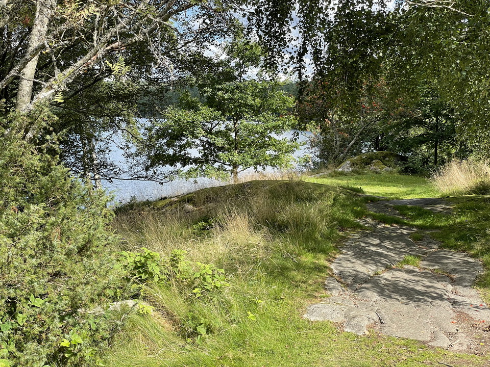
The trail runs on forest paths and on rocks along the beach. Some wet sections are boarded and there are also stairs.

Hiking

Blå slinga 2,8 km

  • Municipality: Kungsbacka
  • 6640.93 km away from you
  • 2.6 km

The path partially coincides with the 1.4 km accessible gravel path. Other parts are partly on rocky, uneven terrain. Oak posts, blue tiles

Hiking

Gröna stigen, Äskhults stigar

  • Municipality: Kungsbacka
  • 6647.68 km away from you
  • 1.5 km
  • Difficulty: Green

The path is easy to walk, but there are some moderately difficult sections along the way.

Hiking

Gällinge kulturstig

  • Municipality: Kungsbacka
  • 6646.90 km away from you
  • 3.1 km

The Gällinge culture trail is about 3 km long and runs partly on forest paths. The path is marked, but in some places you can easily go wrong. There are red plastic strips that you should follow. The places along the cultural trail are numbered from the num…

Best hiking trails in Kungsbacka

Naturkartan samlar de vandringslederna i Kungsbacka som är populärast bland våra användare.

Naturkartan

Open this in the app