Hälsans stig - Eslöv
- Municipality: Eslöv
- 6786.13 km away from you
- 5.9 km
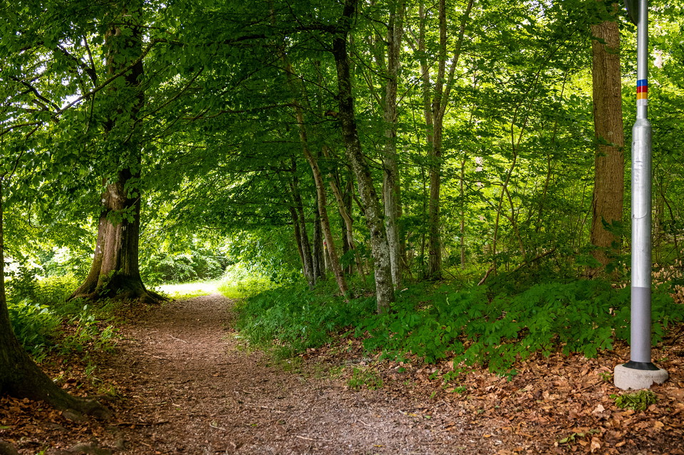
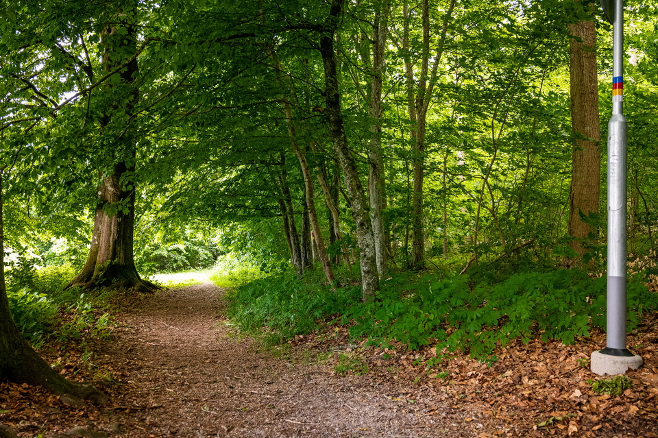
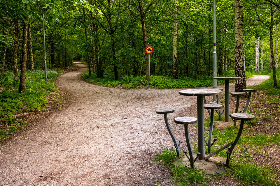
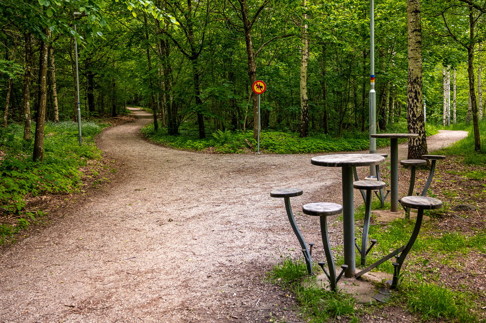
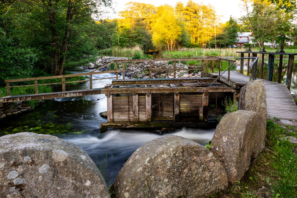
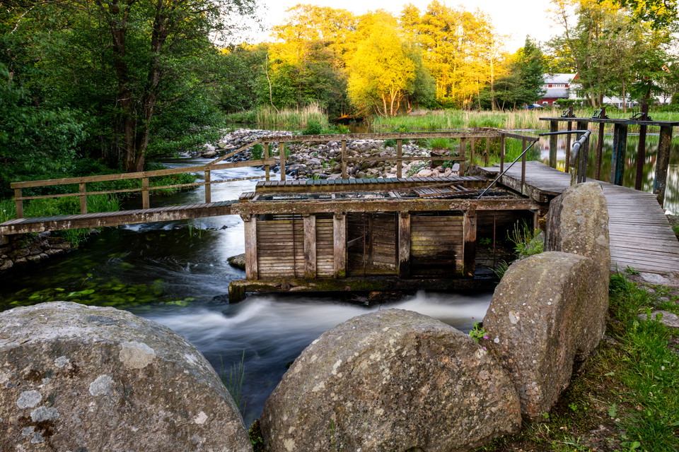
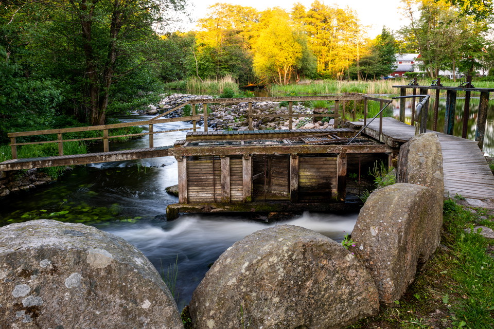
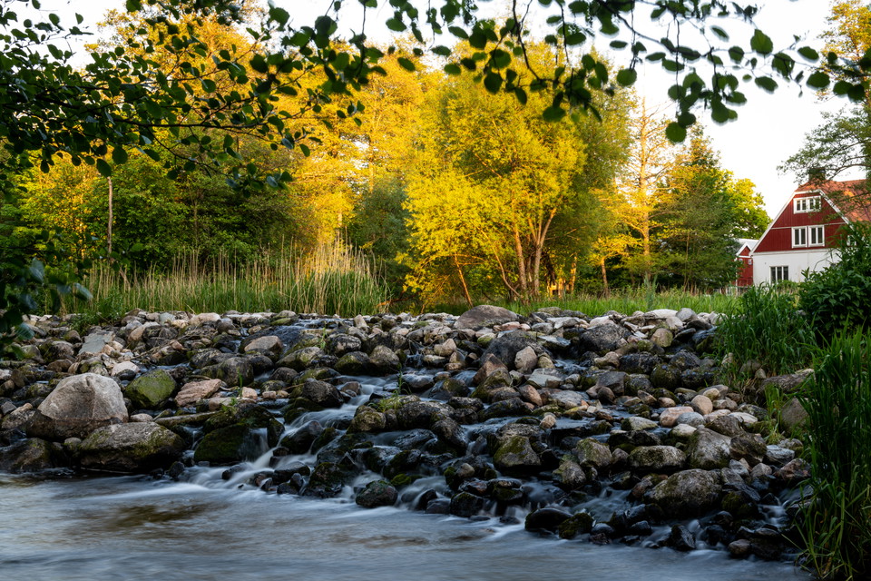
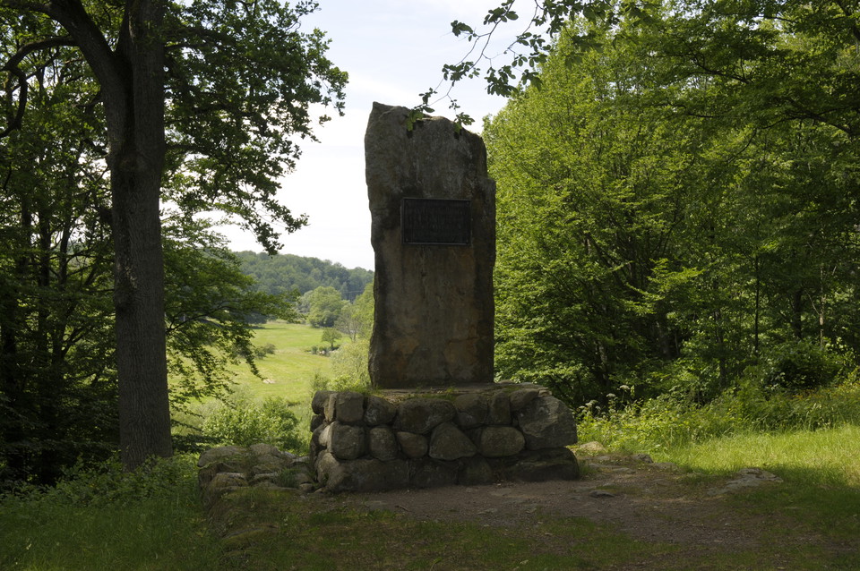
Stigen är 6 km. Den går vid Husarängen, Vattningen, Skytteskogen och Hundramannastenen i närheten av vattentornet.

Eslöv
Naturkartan samlar de vandringslederna i Eslöv som är populärast bland våra användare.
Stigen är 6 km. Den går vid Husarängen, Vattningen, Skytteskogen och Hundramannastenen i närheten av vattentornet.
Skåneleden between Höghult and Krankesjön.
The electric light trail in Gyaskogen in the small community of Stehag is 1.4 km long.
White loop is a 1.6 km exercise trail in Stehag
Red loop is a 2.4 km exercise trail in Stehag.
Gul slinga is a 4.1 km exercise trail in Stehag.
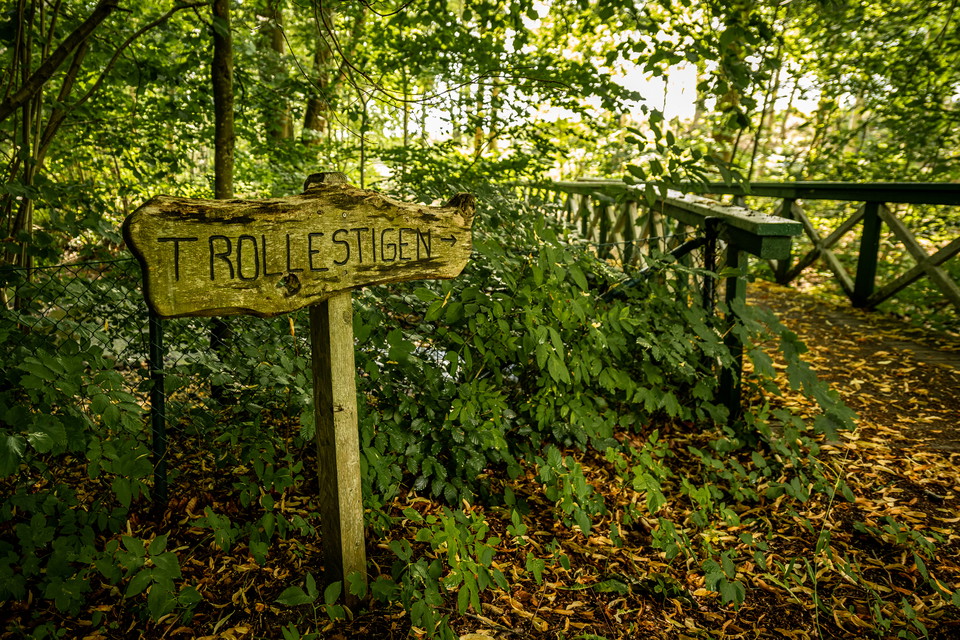
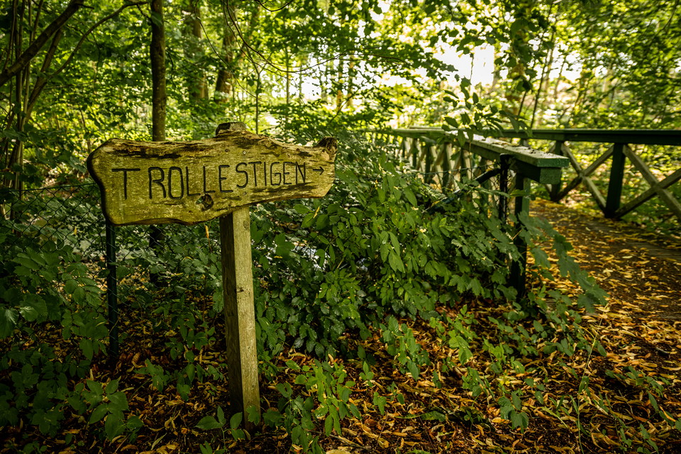
The path around Gullarp's village (Gullarpssvängen) is 1.2 kilometers. If you want to walk a longer route, continue along the Trollestigen path.
Saxåöglan is located about four kilometers northwest of Eslöv's urban area and is a scenic area along the winding Saxån river. In the middle of the area is Trollenäs Castle with its castle park. If you just walk south of the river, without entering Gullarp…
Trollestigen is a trail of3.5 km Trollenäs-Gullarp Trollestigen is located about four kilometers northwest of Eslöv's urban area and is a scenic area along the winding Saxån river. In the middle of the area is Trollenäs Castle with its castle park. The long…
The hiking trail Stenbrottsrundan is 10 km, you get to it at Stockamöllan. Next to Gunnaröd bridge you will find Gunnaröd campsitemed vindskydd, grillplats och toalett. Bird life is rich here, and there is a good chance of seeing oystercatchers, herons, whi…
The Vittserödsrundan hiking trail is 6 km, you get to it at Stockamöllan. Next to Gunnaröd bridge you will find Gunnaröd campsitemed vindskydd, grillplats och toalett. Bird life is rich here, and there is a good chance of seeing oystercatchers, herons, whit…
Bögerupsrundan is a 5 km hiking trail, you get to it from Stockamöllan or Bögerup. Next to Gunnaröd bridge you will find Gunnaröd campsitemed vindskydd, grillplats och toalett. Bird life is rich here, and there is a good chance of seeing oystercatchers, her…
The hiking trailUggleskriksrundan is 4 km, you get to it at Stockamöllan. Next to Gunnaröd bridge you will find Gunnaröd campsitemed vindskydd, grillplats och toalett. Bird life is rich here, and there is a good chance of seeing oystercatchers, herons, whit…
Stenbocksstenen is about 1 kilometer walk from Stockamöllan. This is where Magnus Stenbock and his army waded across Rönneå on their way to the battle of Helsingborg in 1710.
Naturkartan samlar de vandringslederna i Eslöv som är populärast bland våra användare.