Enköping

Best hiking trails in Enköping

Naturkartan samlar de vandringslederna i Enköping som är populärast bland våra användare.

Map

31 Best hiking trails in Enköping

Hiking

The Uppland Trail, Walk 23:1, 7.5 km

  • Municipality: Enköping
  • 6763.79 km away from you
  • 7.5 km

Walk 23:1, connected to The Uppland Trail, passes through the nature reserves of the Vånsjöåsen Ridge and Torslundagropen. The start and end points are at the parking area at nature reserve Vånsjöåsen, almost 10 kilometres north of Enköping. You’ll start wi…

Hiking

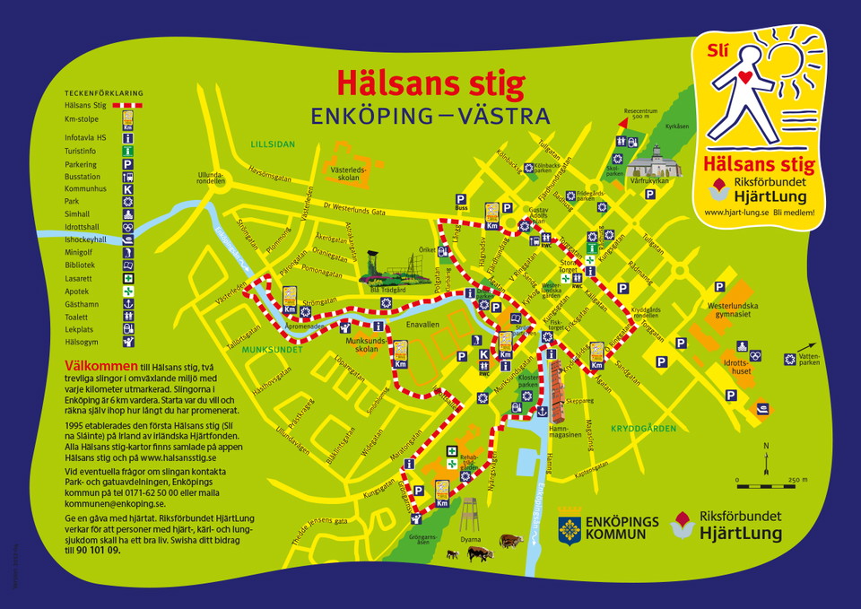
Hälsans stig - Enköping västra

  • Municipality: Enköping
  • 6771.48 km away from you

The western loop goes from Stora torget via Drömparken, Åpromenaden, Munksundet, over Gröngarnsåsen. Then on towards Klosterparken and finally to the center. It connects the green environments in the city and helps you easily find a pleasant walking route.…

Hiking

Tillgängliga stigar, Dyarna och Gröngarnsåsen

  • Municipality: Enköping
  • 6771.62 km away from you
  • 0.9 km

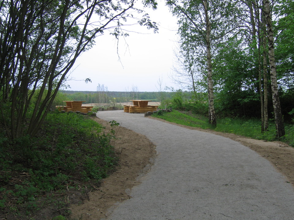
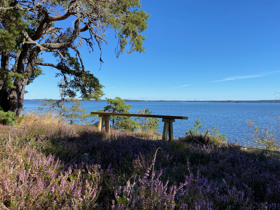
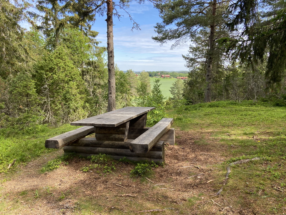
At the edge of the hospital parking lot and Gröngarnsåsen you will find the entrance to a nice nature area that you can easily reach via an accessible path. The path leads to a viewpoint, 150 m, with bench tables and with fine views of the low-lying grazed…

Hiking

Hälsans stig 6 km, Enköping

  • Municipality: Enköping
  • 6770.70 km away from you
  • 5.8 km

Hälsans stig is a pleasant loop in a varied environment with every kilometer marked out. start wherever you want and count up how many kilometers you have walked. The loop in Enköping is 6 km long and runs through the central parts of Enköping, past the hos…

Hiking

The Uppland Trail, section 25, 10 km

  • Municipality: Enköping
  • 6773.15 km away from you
  • 10.0 km

Section 25 takes you from the Gånstagården Farm outside Enköping through the forest down to Lake Mälaren and on to Boglösa. On the way, you can take a detour to nature reserve Hemsta, a large area that is home to many rock carvings, which is well worth a vi…

Hiking

The Uppland Trail, section 26, 8 km

  • Municipality: Enköping
  • 6778.57 km away from you
  • 8.0 km

This nice section, from just outside Boglösa to the village of Lillkyrka, is on the border between the forest and the beautiful farmland south of Enköping. You’ll stay on well-trodden paths. The hike begins by a barn next to road number 520 between Boglösa…

Hiking

Stig, Hagalund

  • Municipality: Enköping
  • 6777.40 km away from you
  • 2.2 km

The trail in Tapiola is about 2.2 km long. It goes through pastures, the old hazel grove and large blocky coniferous forest. For the most part you walk through pastures where there are cows. At times it can be a bit wet and muddy.

Hiking

Stig, Gröngarnsåsen och Dyarna

  • Municipality: Enköping
  • 6771.81 km away from you
  • 1.3 km

This path is the one of the Dyarna round loop. The path follows a narrow footbridge through the reeds, a path along the river and passes the bird tower. The path is not accessible.

Hiking

Stig, Gröngarnsåsen och Dyarna

  • Municipality: Enköping
  • 6771.56 km away from you
  • 0.4 km

Paths up the ridge from the hospital entrance and the parking lot at the western entrance.

Hiking

Stigar, Tedarön

  • Municipality: Enköping
  • 6771.90 km away from you
  • 3.6 km

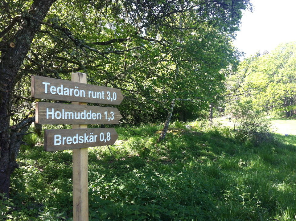
Paths in Tedaröns nature reserve. The paths run partly through pastures that you enter and exit via stiles. There are 3 km around the whole of Tedarön.

Hiking

Stig till Äppelnäsgrund, Härjarö

  • Municipality: Enköping
  • 6796.75 km away from you
  • 0.8 km

Path from the parking lot down to the Äppelnäsgrund swimming area. The path is 800 m long and goes through forest. It is wide and well-trodden, but sometimes bumpy and rocky.

Hiking

Österbyuddslingan, Härjarö

  • Municipality: Enköping
  • 6797.82 km away from you
  • 2.5 km

Österbyuddslingan is marked in yellow and starts at the parking lot at Österby backe. It follows the road down towards the campsite, but just before the toilet and the campsite it turns left to take you out towards the water. You then walk close to the wate…

Hiking

Härjaröuddslingan, Härjarö

  • Municipality: Enköping
  • 6797.26 km away from you
  • 2.5 km

Härjaröuddslingan is 2.5 km long and marked with light blue color. It partly follows the same route as Upplandsleden, which is marked with orange color. You start at the large parking lot at the Blåhäll swimming area. If you walk clockwise, you turn off ont…

Hiking

Upplandsleden, slinga 28:1, Härjaröslingan

  • Municipality: Enköping
  • 6796.18 km away from you
  • 12.0 km

Start/end: Suitable starting points are at the Blåhäll bathing area or the parking lot at Österby backe. You can also start at Äppelnäsgrund in the northern part of the reserve, but here it is 600 m to walk along a connecting path, from the parking lot and…

Hiking

Tillgänglighetsanpassad stig, Härjarö

  • Municipality: Enköping
  • 6796.81 km away from you
  • 0.7 km

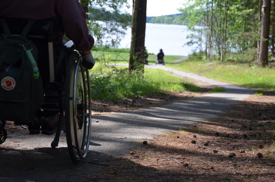
From the parking lot at the Blåhäll bathing area, there is a narrow paved walkway to Härjarö harbor. The walkway is a few years old and there are small irregularities. The walkway slopes slightly from the parking lot down to the bath but is otherwise flat.

Best hiking trails in Enköping

Naturkartan samlar de vandringslederna i Enköping som är populärast bland våra användare.

Naturkartan

Open this in the app