Ekerö

Best hiking trails in Ekerö

Naturkartan samlar de vandringslederna i Ekerö som är populärast bland våra användare.

Map

30 Best hiking trails in Ekerö

Hiking

Lovö Kärsö - Wheelchair-accessible trail to south Kärsön

  • Municipality: Ekerö
  • 6829.94 km away from you
  • 0.5 km

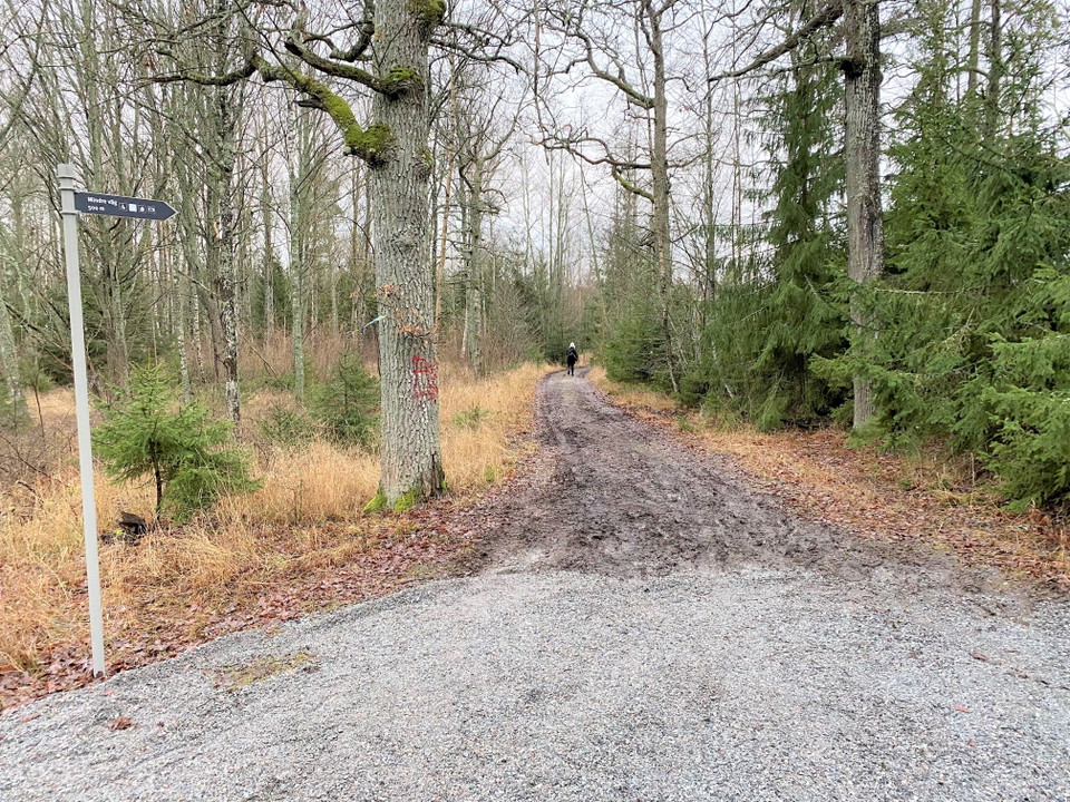
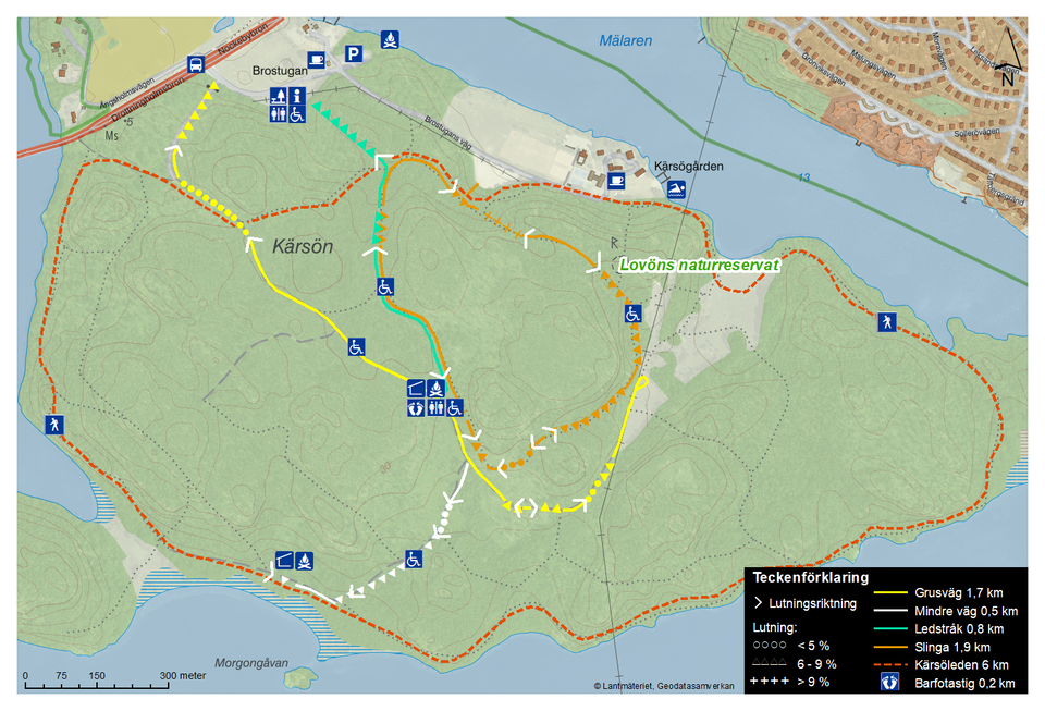
This trails starts at the picnic area at the centre of Kärsön and leads to the south side of the island (marked in white on the map). At the end of this trail, there is another picnic area with a fire pit and a covered shelter. The nearest toilet (a wheelch…
Hiking

Lovö Kärsö - Trail to picnic area, with tactile elements

  • Municipality: Ekerö
  • 6829.51 km away from you
  • 0.8 km

A trail with tactile elements for the vision impaired. The trail is 0.8 km (marked in blue on the map) and goes from the information centre at Brostugan to the picnic area at the middle of Kärsön. At the picnic area, you'll find a covered shelter, a fire p…

Hiking

Lovö Kärsö - The Barefoot Trail, Barfotastigen

  • Municipality: Ekerö
  • 6830.00 km away from you

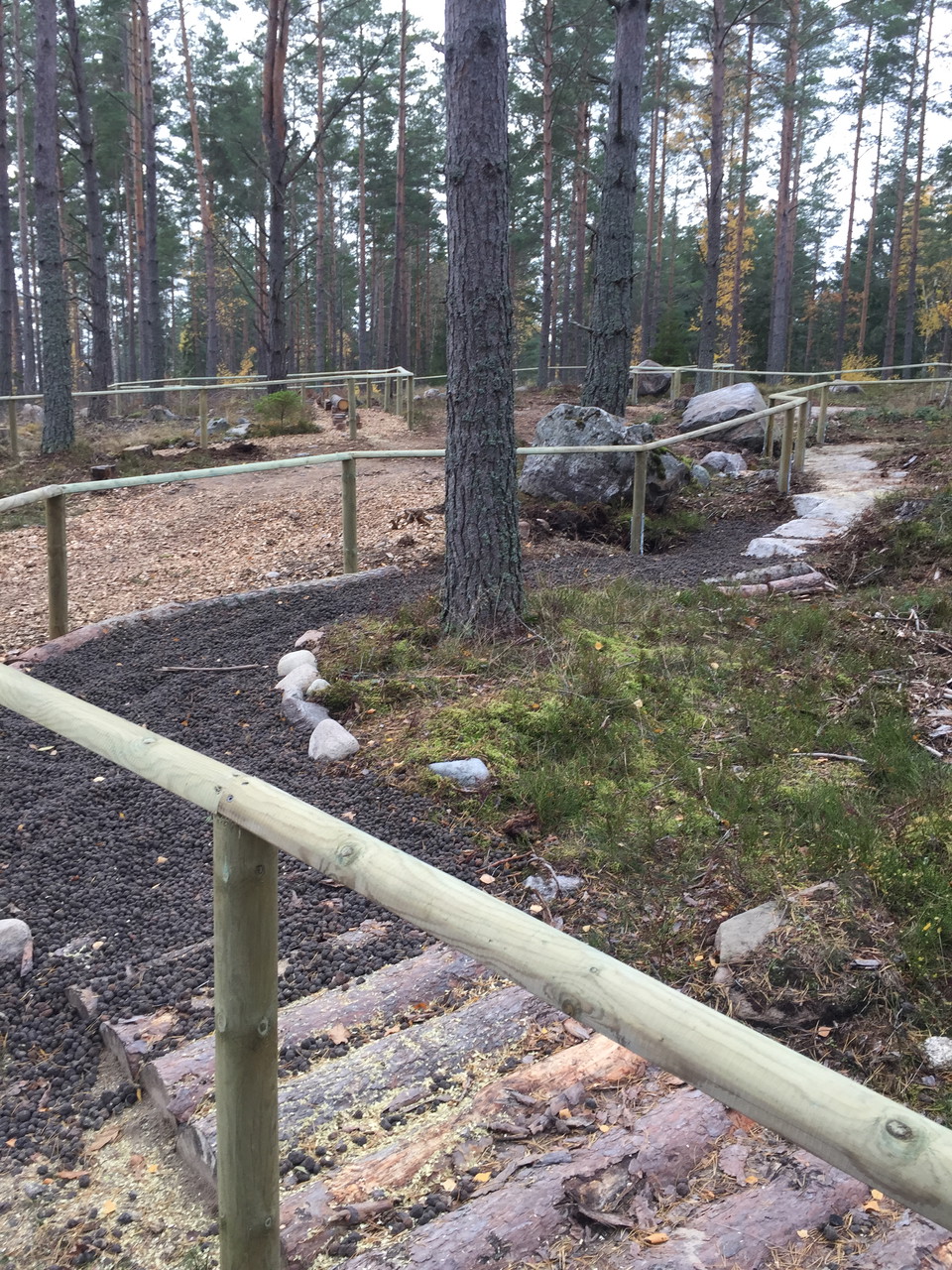
The Barefoot Trail ("Barfotastigen" in Swedish) is a 200 m long footpath suitable for walking without shoes and socks. The path starts near the picnic area in central Kärsön and consists of different surfaces. Try to use all your senses on your barefoot wal…

Hiking

Hiking trail from the parking lot, Adelsö-Sättra

  • Municipality: Ekerö
  • 6803.37 km away from you
  • 0.4 km

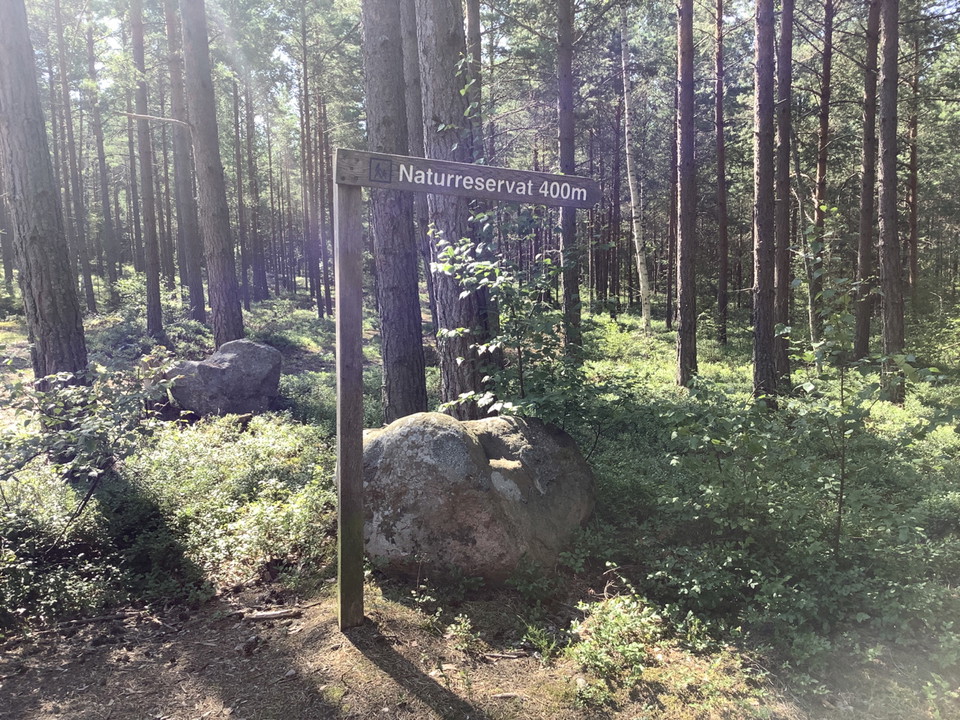
A 400 m long trail leads from the parking lot into the reserve and to a picnic area by the lake, where the path joins with the Adelsö hiking trail.

Hiking

Naturstigen: Markering 9

  • Municipality: Ekerö
  • 6828.87 km away from you

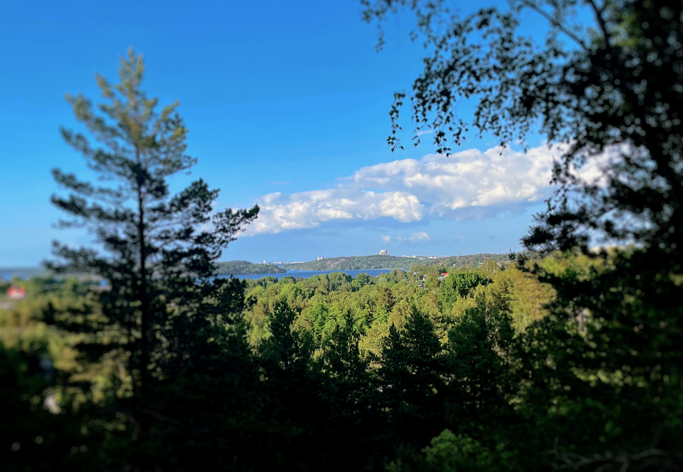
From here you can see Lovö and the high-rise buildings of Stockholm far away on the horizon. So far away, yet so close. If you're lucky, you'll spot the osprey watching for fish from its perch in the sky. You might even see the king's hat that has given its…

Hiking

Naturstigen

  • Municipality: Ekerö
  • 6827.48 km away from you
  • 5.6 km

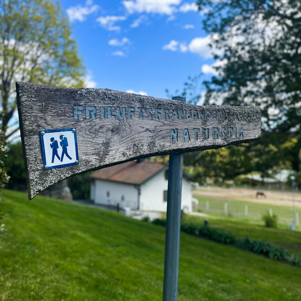
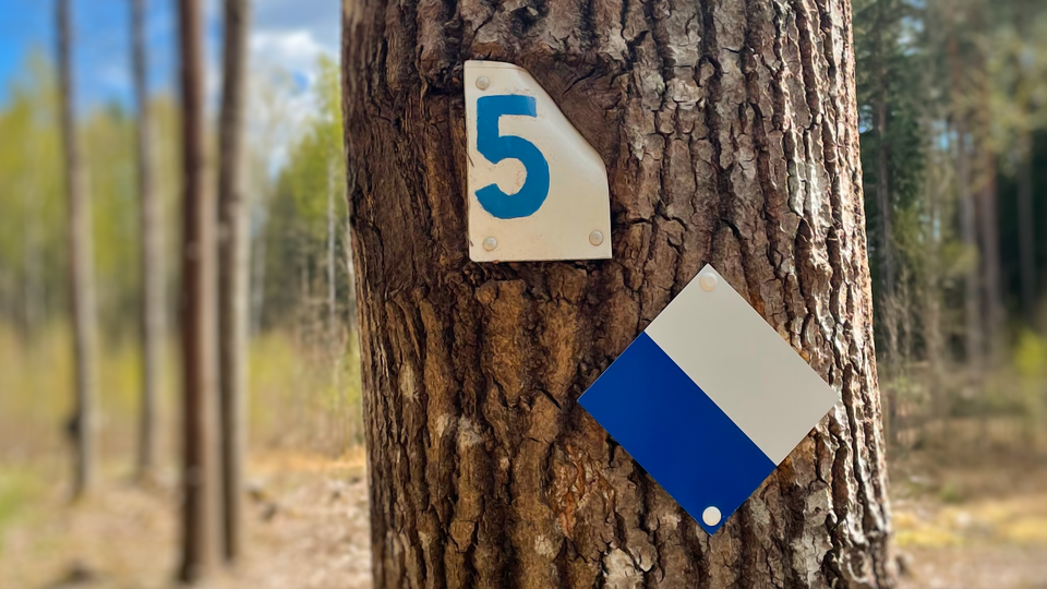
The nature trail starts at Ekebyhov Castle and loops around Jungfrusundsåsen. Start from the large gateposts in front of the castle. Blue and white signs with hikers and blue and white signs only will guide you around. The nature trail markings explain the…

Hiking

Naturstigen: Markering 3

  • Municipality: Ekerö
  • 6828.00 km away from you

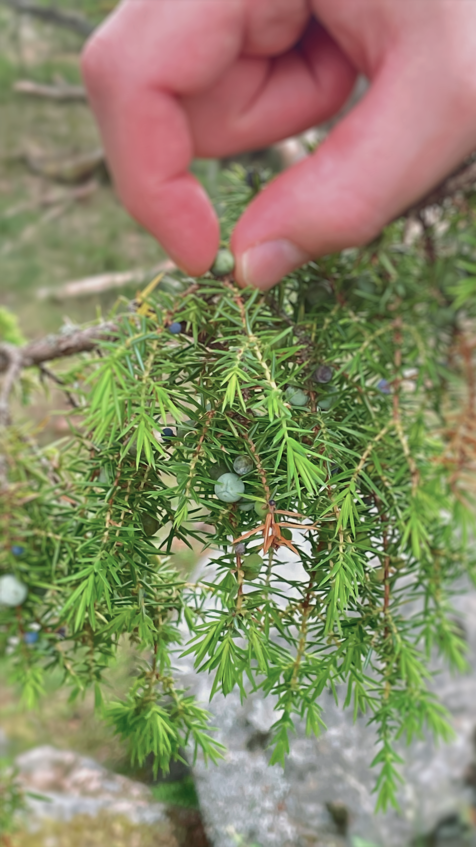
On the way up to the highest point of the trail you walked over a very smooth rock. It is a place that has been worn down by the ice sheet. The view from here disappeared long ago when the trees grew up. Instead, you can study the many junipers that are fou…

Hiking

Naturstigen: Markering 5

  • Municipality: Ekerö
  • 6828.25 km away from you

På höger sida finns ett av de få surhål som finns på åsen. Eftersom åsen består av grus sjunker vatten lätt undan. Den gamla markeringen har täckts över av trädet och syns nu endast som en fyrkant i barken. Skogen på ömse sidor om stigen är resultatet efter…

Hiking

Naturstigen: Markering 6

  • Municipality: Ekerö
  • 6828.54 km away from you

At the trail junction, a free-growing pine heath begins, which has now grown up so that the previously completely open area is now quite dense. The mature trees are all of the same thickness as they started to grow up at the same time after the fire. Here y…

Hiking

Naturstigen: Markering 7

  • Municipality: Ekerö
  • 6828.83 km away from you

Below the rocky outcrop are the remains of an old fireplace with a wreath of logs. It is only twenty years since it was built. Hard to find it? Nature is taking back. Everything you've seen so far shows that sooner or later nature wins. Now you're a little…

Hiking

Naturstigen: Markering 8

  • Municipality: Ekerö
  • 6829.10 km away from you

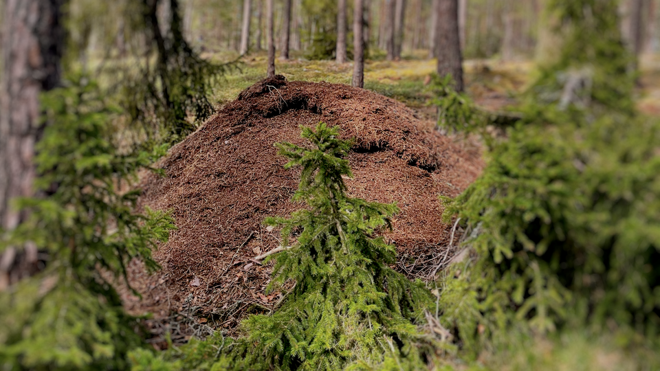
De stora myrstackarna kan innehålla mer än en miljon myror tillsammans. De är alla släkt med varandra, annars hade de bekämpat varandra. Besök platsen på våren när snön smälter undan. Då sitter myrorna i stora klasar för att värma upp sig efter vintern. Det…

Hiking

Naturstigen: Markering 10

  • Municipality: Ekerö
  • 6828.39 km away from you

Wetlands - bogs, fens, shallow lakes and so on - were considered worthless in the 20th century and many of them were drained. Wetlands are needed for the ecological balance. Because the gravel drains the ridge so well, there is no lake or stream here. Along…

Hiking

Naturstigen: Markering 11

  • Municipality: Ekerö
  • 6828.24 km away from you

The big larch tree looks like it's about to fall over. It has looked like that for at least thirty years. Why it is leaning is debatable. One of Friluftsfrämjandet's youth groups has been measuring the slope for some years and it is not increasing. The tree…

Hiking

Rundslinga, Husby

  • Municipality: Ekerö
  • 6813.86 km away from you
  • 2.3 km

Circular trail through Husby Nature Reserve, passing through forest and along the water. Follow the trail markers through the reserve. A pleasant alternative route or detour from Stage 2 of the Ekerö–Munsö Trail.

Hiking

Bonavik circular trail

  • Municipality: Ekerö
  • 6811.50 km away from you
  • 2.0 km

Explore Bonavik Nature Reserve via the scenic 1.7 km circular trail, starting at the car park by the southern entrance. Two picnic areas along the way offer barbecue facilities and lovely views over the water.

Best hiking trails in Ekerö

Naturkartan samlar de vandringslederna i Ekerö som är populärast bland våra användare.

Naturkartan

Open this in the app