New!

Now you can share photos on Naturkartan! 📸

Read more

Best hiking trails in Borlänge

Borlänge

Naturkartan samlar de vandringslederna i Borlänge som är populärast bland våra användare.

Images

Map

29 Best hiking trails in Borlänge

Hiking

Bysjörundan

  • Municipality: Borlänge
  • 6639.57 km away from you
  • 11.3 km

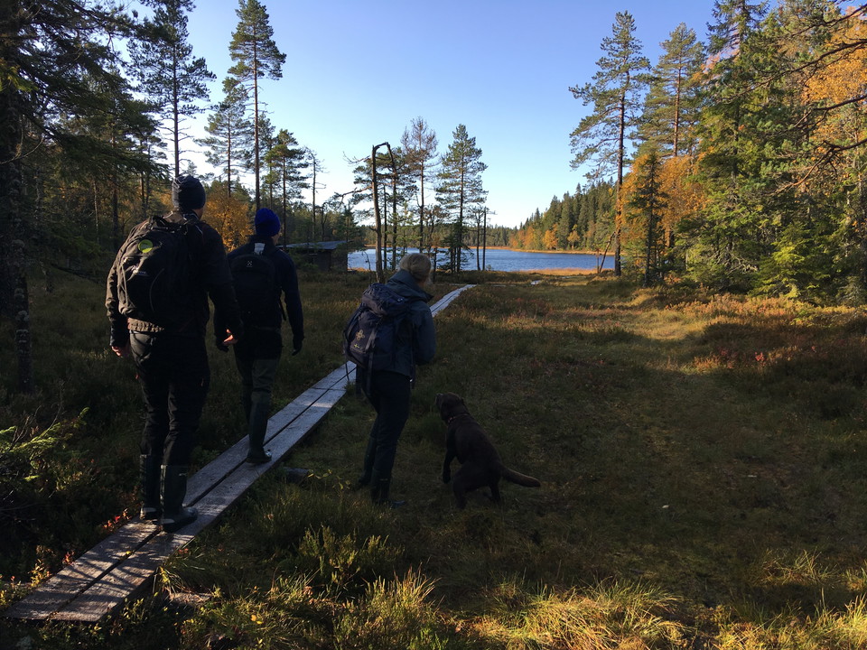
Bysjörundan is a popular, about 11 kilometers long, hiking and biking trail in northern Borlänge that passes Kvarnsveden and Sör Amsberg. At Tägten's wood yard, the hiking trail and the bike trail separate. Hikers walk through the Sjöberget nature reserve w…
Hiking

Leder i Gyllbergen

  • Municipality: Borlänge
  • 6632.32 km away from you
  • 33.9 km

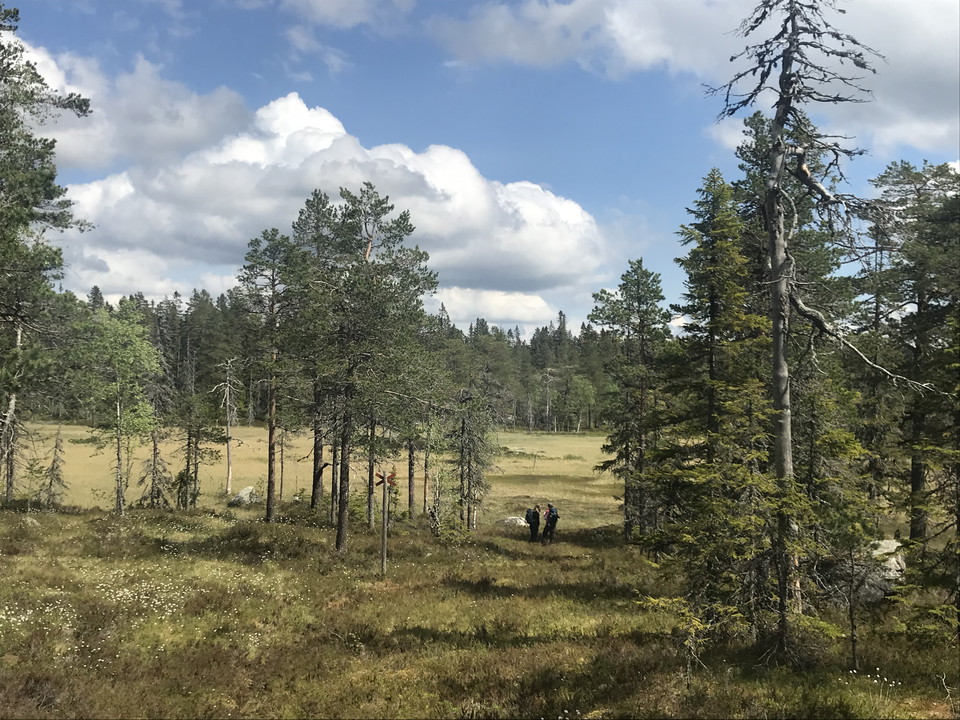
Hiking trails through the Gyllbergen wilderness with miles of mountains, forests, marshes and lakes.

Hiking

Tunaåleden

  • Municipality: Borlänge
  • 6648.89 km away from you
  • 6.8 km

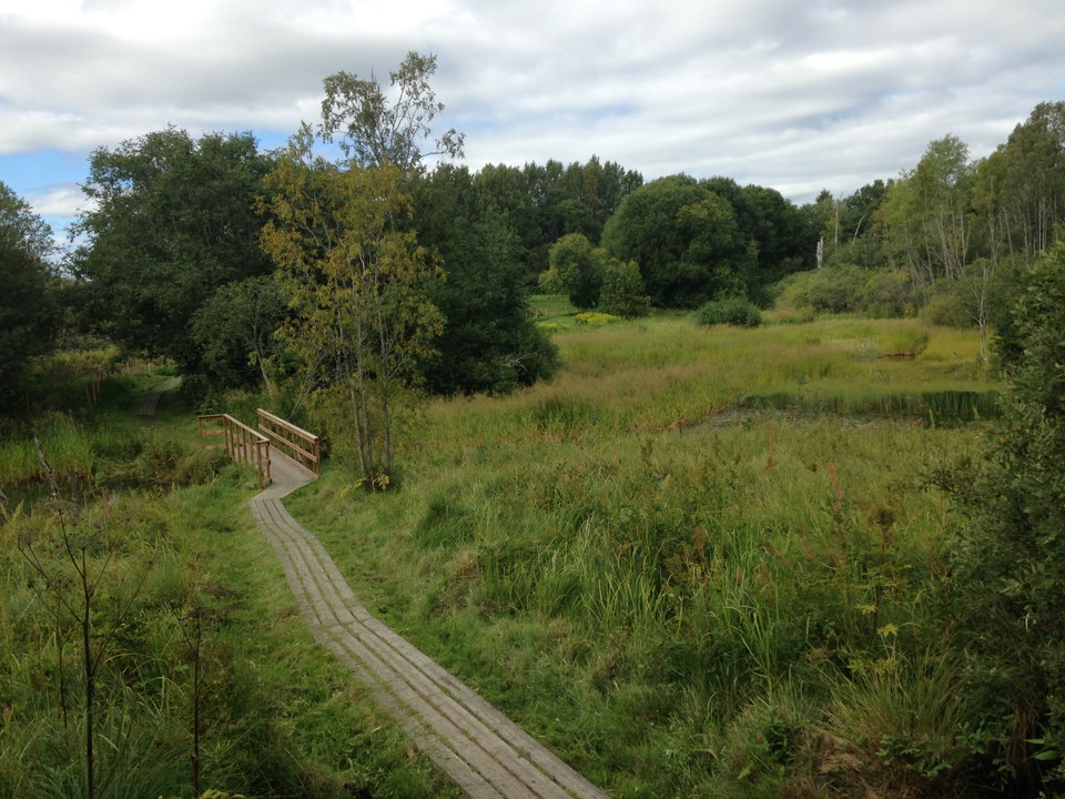
The trail follows the Tunaån river through ravines and pastures and is lined with information signs and rest areas. The stretch along the river is 2 km of slightly hilly hiking on a nature trail, wet parts are mostly shoveled. The entire round trip through…

Hiking

Älvrundan

  • Municipality: Borlänge
  • 4.6 km
  • Difficulty: Blue

Älvrundan är ett populärt naturskönt promenadstråk som går genom ravinskogarna längs Dalälven i centrala Borlänge. Leden ligger i Älvravinerna naturreservat mellan Bullerforsen och Domnarvsbron.

Hiking

Sagostigen

  • Municipality: Borlänge
  • 6647.13 km away from you
  • 0.8 km
  • Difficulty: Green

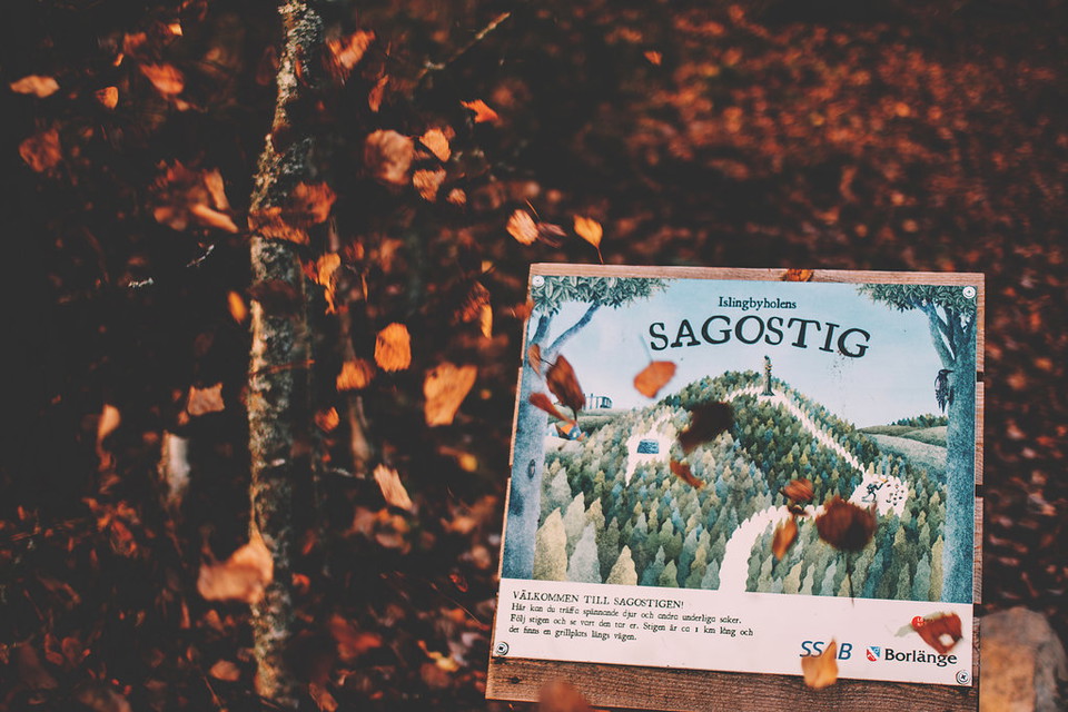
Sagostigen is a walking-friendly destination for families with children and nature lovers. Aron Landahl has made the illustrations along the path, which is 1 kilometer long and winds through varied nature.

Hiking

Nygårdsleden

  • Municipality: Borlänge
  • 6643.75 km away from you
  • 1.0 km

Hiking

Frostbrunnsdalens stigar

  • Municipality: Borlänge
  • 6648.88 km away from you
  • 2.3 km

Hike through the beautiful Frostbrunnsdalen valley with its exciting history and sacred springs.

Hiking

Gyllbergsleden

  • Municipality: Borlänge
  • 6632.33 km away from you
  • 22.2 km
  • Difficulty: Red

Tired of clear-cutting? This is southern Dalarna's longest hike in protected nature. A good tour to experience Gyllbergen's large nature reserve and surrounding pastures. The trail is suitable for a two-day trip starting in Gyllfäboden. The entire route is…

Hiking

Stigar till Gimsklack

  • Municipality: Borlänge
  • 6635.64 km away from you
  • 1.7 km

The path from the east side of the mountain is the most pleasant to walk up, it is not marked but easy to find with a map.

Best hiking trails in Borlänge

Naturkartan samlar de vandringslederna i Borlänge som är populärast bland våra användare.

Naturkartan

Open this in the app