Hovs Hallar
- Municipality: Båstad
- 7.82 km
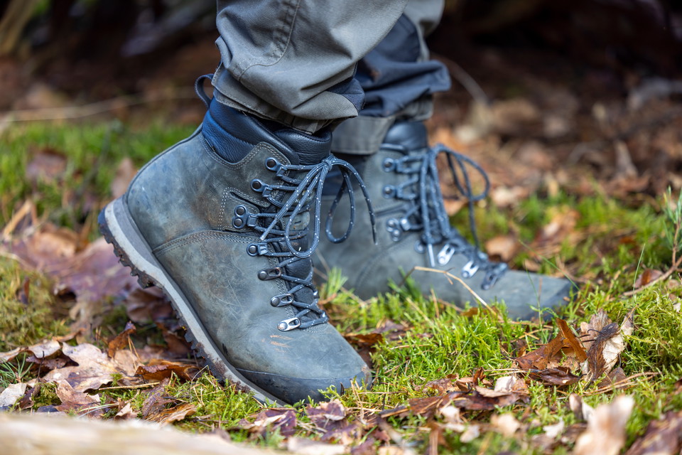
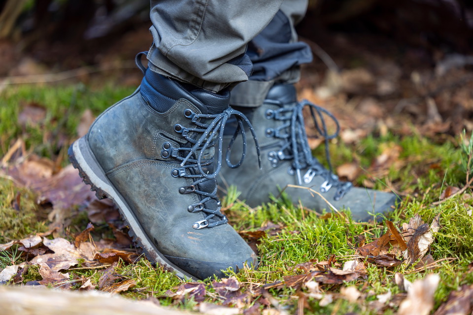
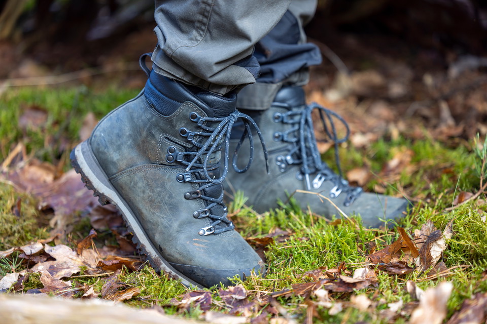
Trail between Knösen - Torekov.hilly terrain. Steep sections on nature trail.

Båstad
Naturkartan samlar de vandringslederna i Båstad som är populärast bland våra användare.
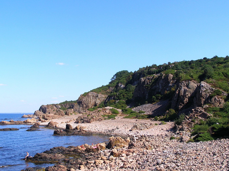
Trail between Knösen - Torekov.hilly terrain. Steep sections on nature trail.
Trail between Torekov - Vejbystrand. Varying terrain. More than 50% on nature trail.
Trail between Hålehall - Örlid. Varying terrain. More than 50% on nature trail.
Trail between Ängelbäcksstrand - Båstad.varying terrain. More than 50% on nature trail.
Trail between Båstad - Knösen. Varying terrain. More than 50% on nature trail.
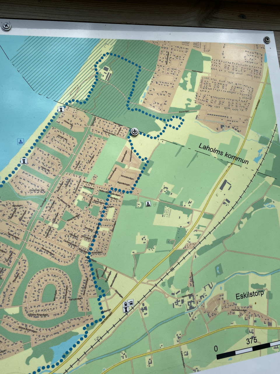
Fantastic loop that goes both through forest and by the sea. Along the loop on the Båstad side there is an outdoor gym. About 12 km long. The loop is also adapted for trail running. Further down the page there is a link to Trailrunning Sweden and more infor…
Naturkartan samlar de vandringslederna i Båstad som är populärast bland våra användare.