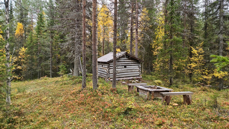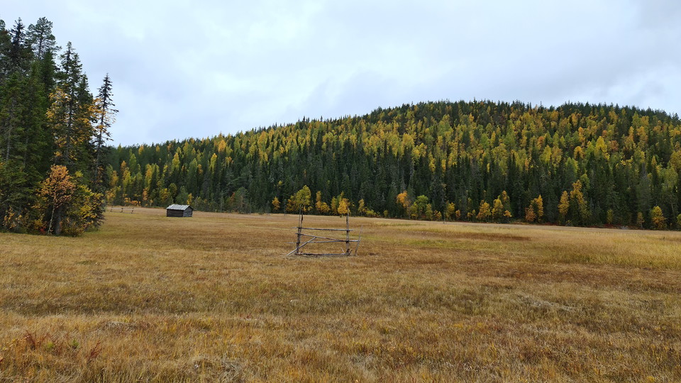
Trail cultural site, Lamburträsket
- Municipality: Arvidsjaur
- 6563.42 km away from you
- 0.13 km
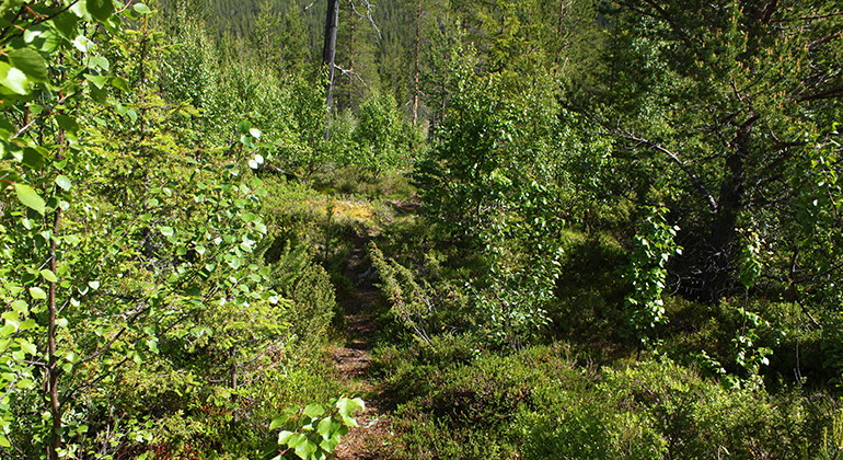
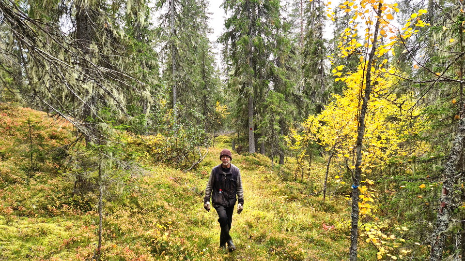
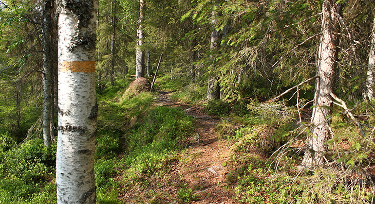
A 130 metres long trail from the trail around the lake.

Arvidsjaur
Naturkartan samlar de vandringslederna i Arvidsjaur som är populärast bland våra användare.
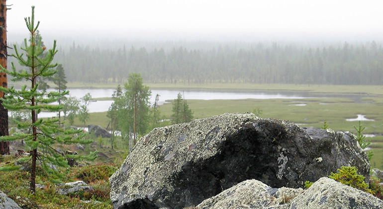
A 130 metres long trail from the trail around the lake.
A 0.5 kilometre long trail.
A 300 metres long trail to the picnic spot.
This trail is 1.7 kilometres long and takes you over the old fire area. There is a need for renovation along the trail.
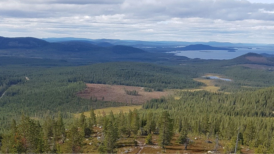
A 3.3 kilometres long trail up to the summit och Guorbbåjvvie mountain, where there is a fine view over the surrounding landscape.
A 2.4 kilometres long trail up to the summit of Södra Paljavare mountain.
A 11 kilometres long trail that is marked, with plankways where needed.
The western trail goes from the road up to the top of the mountain. It is not as steep and does not have as many rocks and boulders as the eastern trail.
Vandringsstig mellan Gallejaur och Bergmyrbäckens naturreservat. Stigen passerar både Bergmyran, som ingår i kulturreservatet Gallejaur, och naturreservatet Svartliden-Whitberget. Den slutar vid en vändskiva vid en skogsbilväg där det finns en informationss…
A path to the rest hut Getarbacken. The path is a 600 meter long detour from the path between Gallejaur and Bergmyrbäcken. From the trailhead at Gallejaur, it is about 1.8 kilometers to Getarbacken.
A path to the cold spring on Bergmyran. The path is a 130 meter long detour from the trail between Gallejaur and Bergmyrbäckens nature reserve. From the cold spring to Bergmyrkojan it is about 500 meters and from the trailhead in Gallejaur it is 4.6 kilomet…
Trail follows forest road, obstacles & danger may occur
Naturkartan samlar de vandringslederna i Arvidsjaur som är populärast bland våra användare.