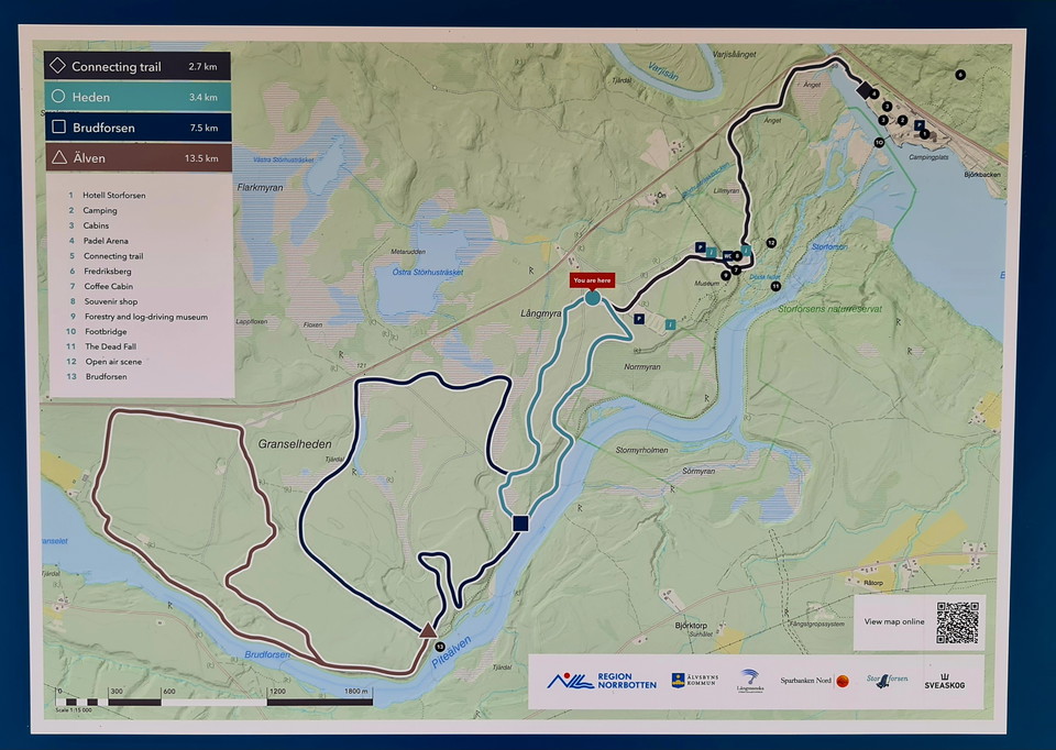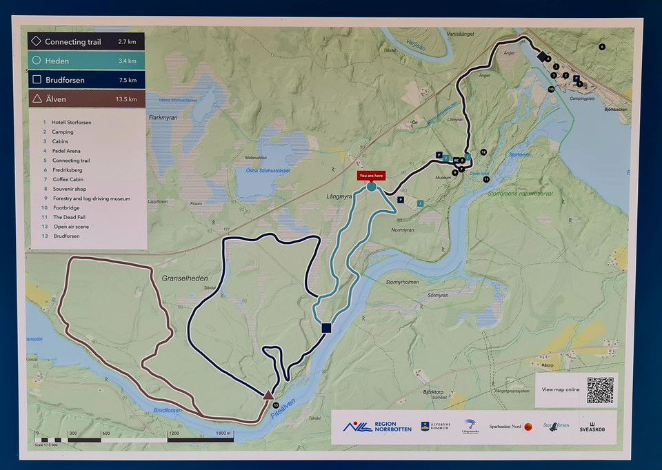
Trail "the loop", Rackberget
- Municipality: Älvsbyn
- 6607.74 km away from you
- 3.6 km
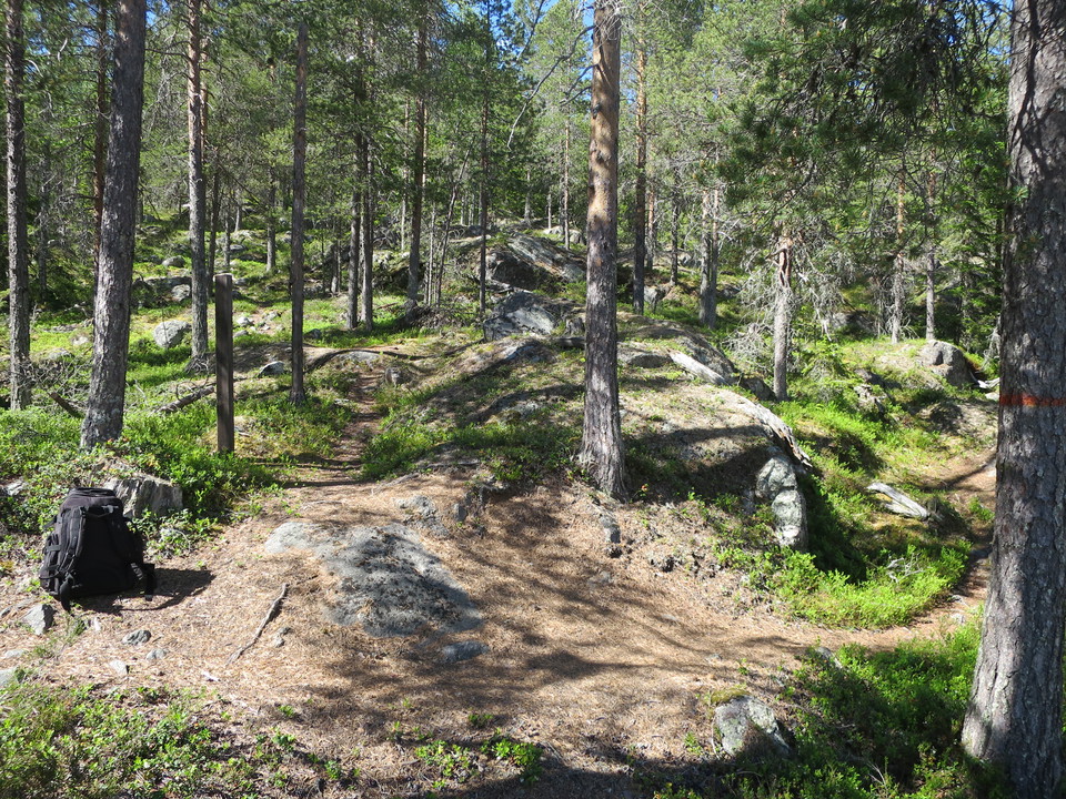
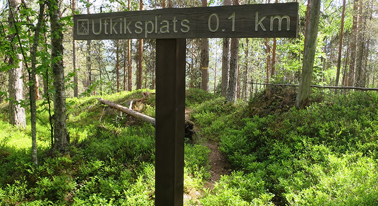
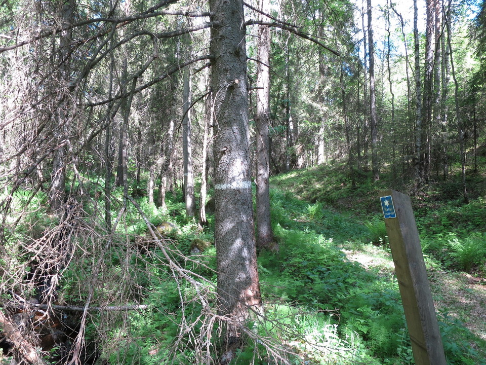
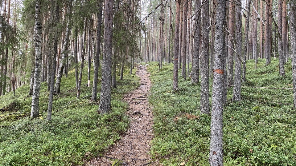
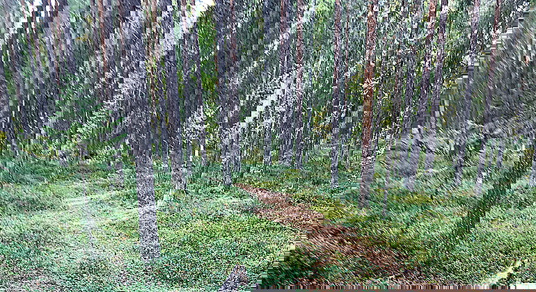
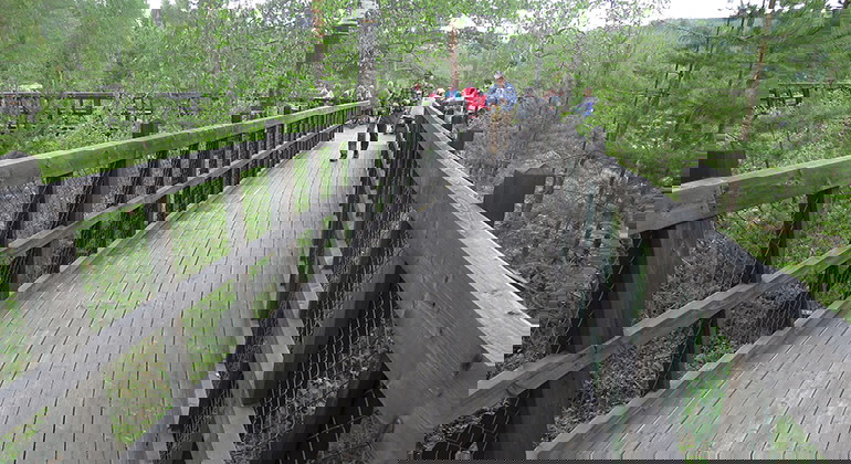
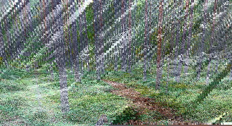
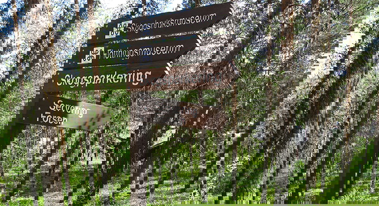
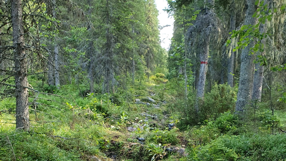
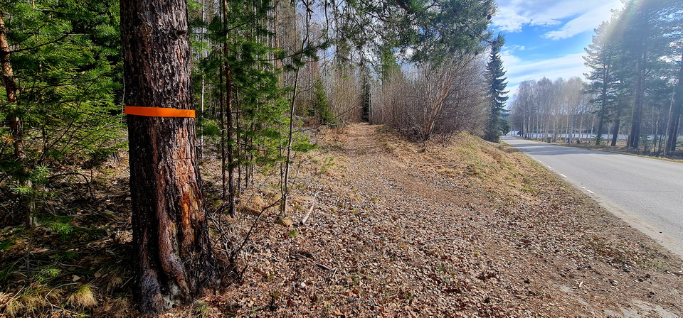
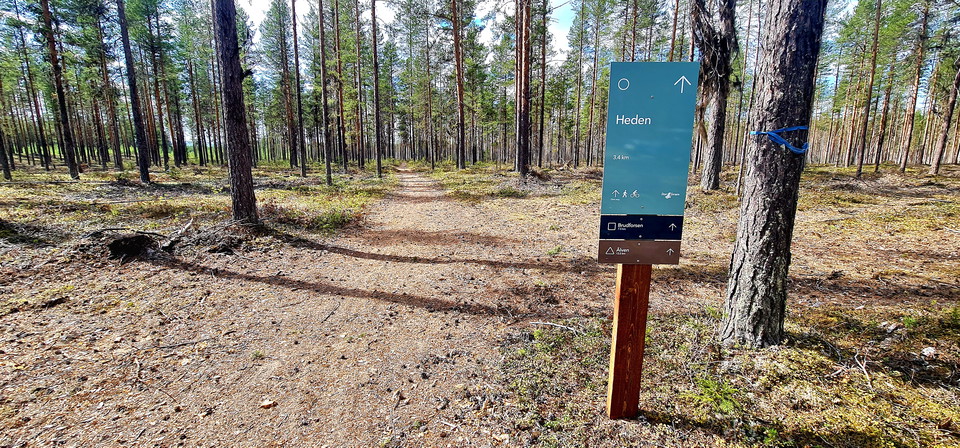
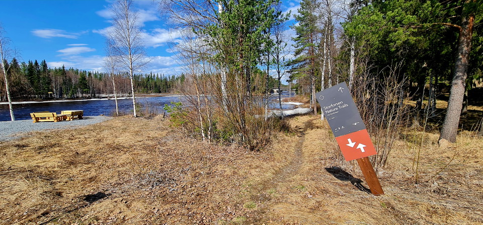
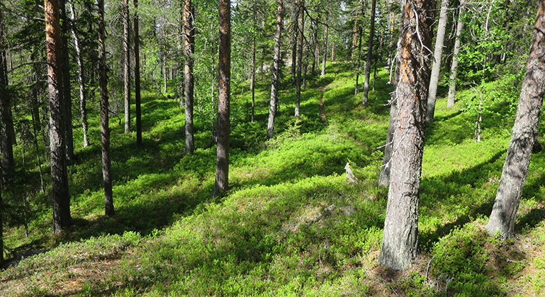
A 3.6 kilometres long loop around the nature reserve. The trail is marked with orange paint and a few signs.

Älvsbyn
Naturkartan samlar de vandringslederna i Älvsbyn som är populärast bland våra användare.
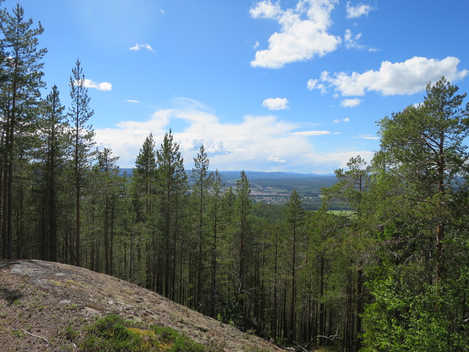
A 3.6 kilometres long loop around the nature reserve. The trail is marked with orange paint and a few signs.
A 0.4 kilometres long trail to a viewpoint in the northwestern part of the nature reserve. The trail is unmarked.
A 80 metres long trail to a viewpoint. The trail is unmarked.
A 300 metres long trail, connecting to the trail-loop through the nature reserve.
A trail through the nature reserve.
A trail through the nature reserve.
A trail through the nature reserve. The trail connects to a trail that is wheelchair accessible with plankways and platforms.
A trail through the nature reserve. The picture is only a general picture from the area.
A trail along the Forest museum.
A 2.2 kilometres long trail up to Vitberget/Vielggisvárre mountain. The trail is wet and muddy in some places. On the top there are a lot of deciduous forest and a cabin that belongs to Älvsbyn skoterförening (snowmobile organization).
Naturkartan samlar de vandringslederna i Älvsbyn som är populärast bland våra användare.