Älmhult

Best hiking trails in Älmhult

Naturkartan samlar de vandringslederna i Älmhult som är populärast bland våra användare.
Map

46 Best hiking trails in Älmhult

Trail running

Tvärleden

  • Municipality: Älmhult
  • 6790.62 km away from you
  • 2.0 km

This trail connects Mossarundan trail in Klöxhult with the trails in Västra Bökhult. The trail itself is 2 km long and passes through a wonderful scenery. NOTE! The trail passes road 120 in one place and there is no marked crossing.

Hiking

Walking trail Diö-Råshult

  • Municipality: Älmhult
  • 6792.88 km away from you
  • 3.2 km
  • Difficulty: Blue

Take the train out into nature! This hiking trail connects from the train station up to Linnés Råshult with connections to several different hiking trails.

Circular trail

Möckelsnässlingan – part of Smålandsleden

  • Municipality: Älmhult
  • 6789.65 km away from you
  • 8.0 km

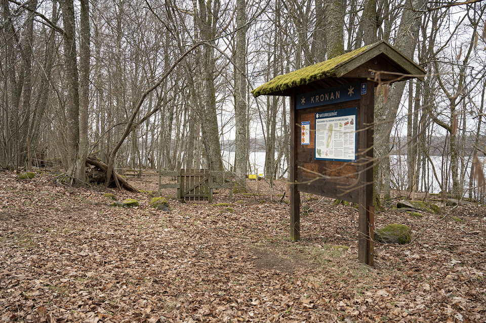
The Möckelsnäs trail takes you to the outermost part of the peninsula – through the Kronan and Möckelsnäs nature reserves – where the freshwater archipelago embraces the peninsula from three directions. Large parts of the beach forest grow on old lake beds…

Trail running

Norregårdsleden

  • Municipality: Älmhult
  • 6791.13 km away from you
  • 2.5 km
  • Difficulty: Blue

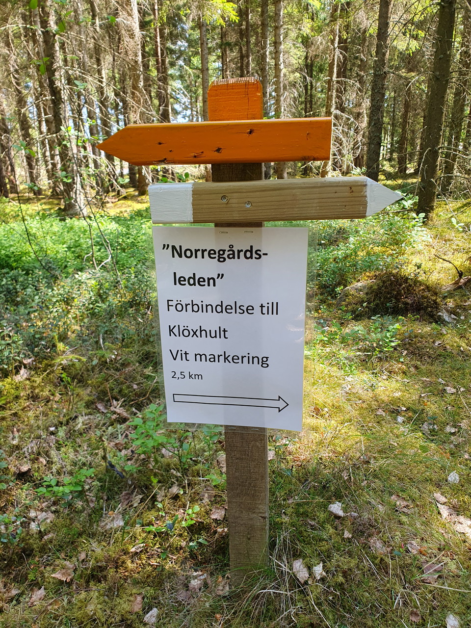
Norregårdsleden connects the running and hiking trails in Västra Bökhult with the trails in Klöxhult. For example, you can take the "Tvärleden" in one direction and this trail in the other direction back.

Hiking

Majtorpsrundan

  • Municipality: Älmhult
  • 6791.87 km away from you
  • 3.0 km
  • Difficulty: Green

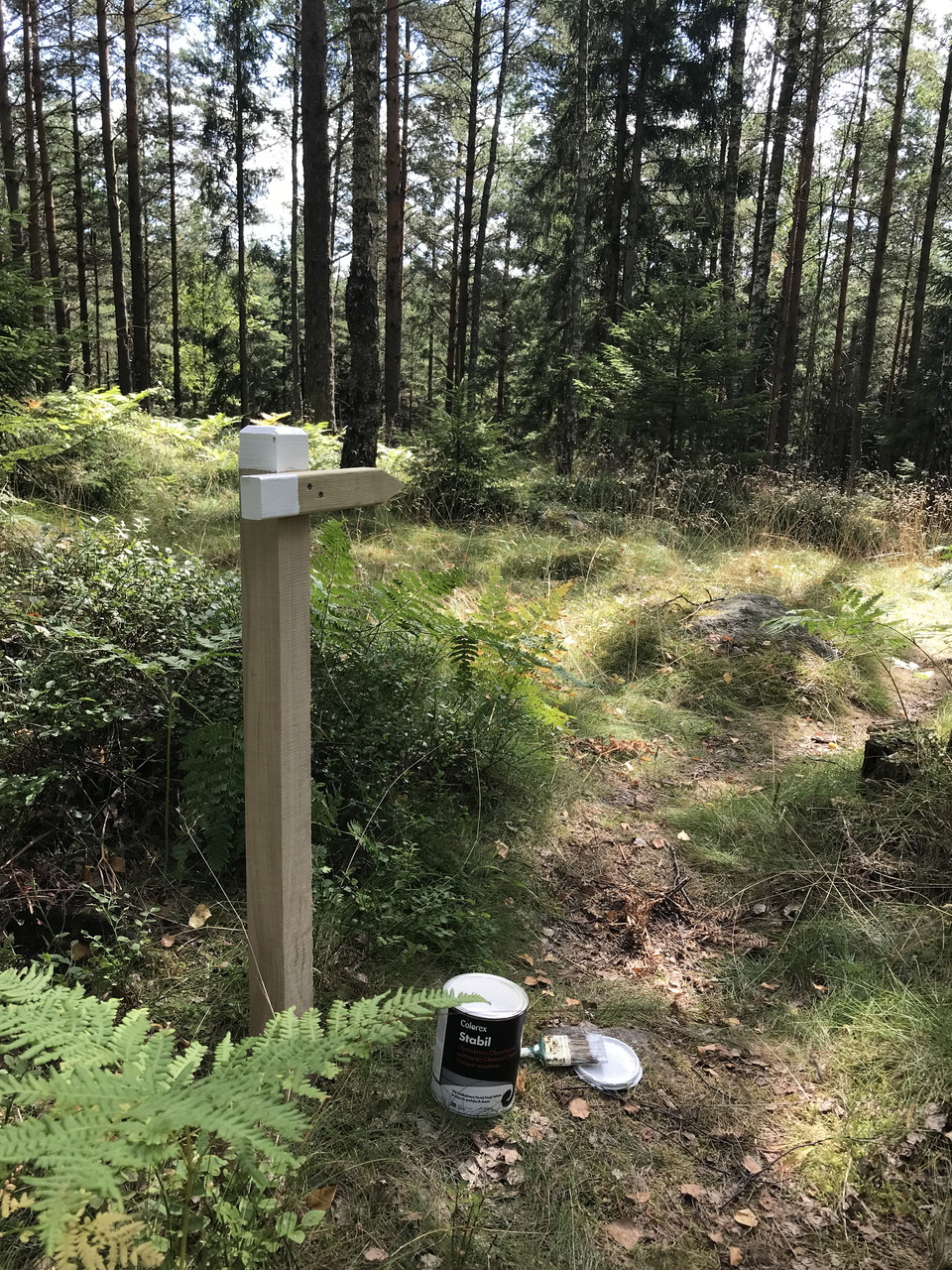
A 3 km long path that starts at Bökhult's bathing area and goes through varied nature. It passes both spruce forest, open meadows and deciduous forest. Orange-painted poles are in place and entrance signs will be in place later this autumn.

Circular trail

Diöslingan – part of Smålandsleden

  • Municipality: Älmhult
  • 6790.82 km away from you
  • 11.0 km

The Diöslingan trail passes through a varied natural landscape. It is one of the three loops that make up the Östra Möckeln hiking trail. In Stenbrohult, you can start your hike by exploring the old stable near Stenbrohult's church. Then, you can follow Li…

Hiking

Three-boat system between Lång and Möckelsnäs

  • Municipality: Älmhult
  • 6789.71 km away from you
  • 0.3 km
  • Difficulty: Blue

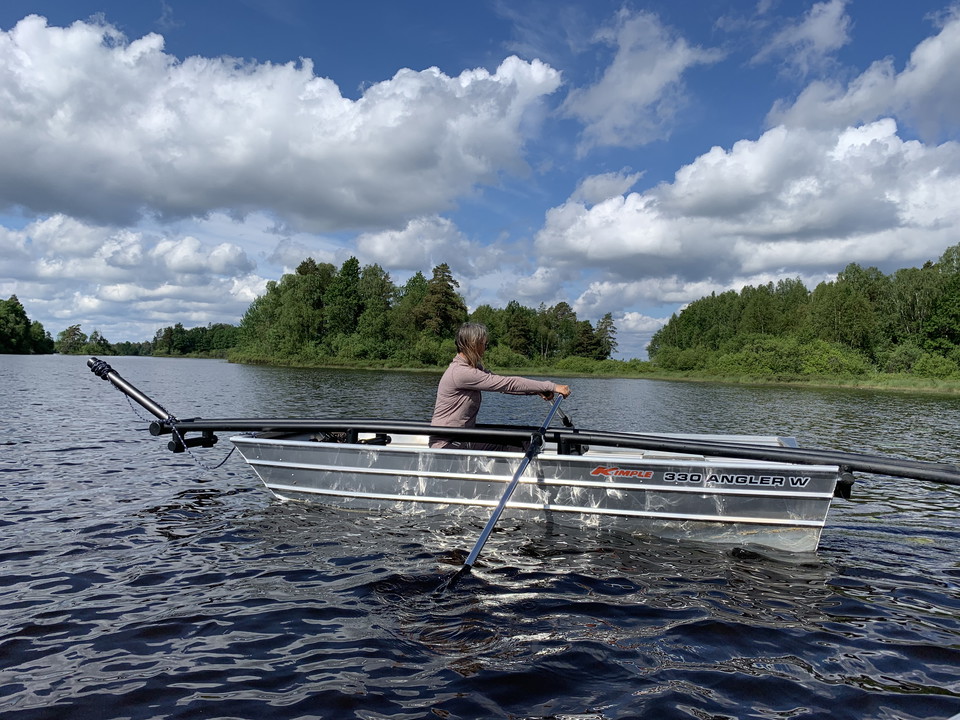
To get across the strait between Lång and Möckelsnäs, you have to row. There is a three-boat system consisting of three rowing boats. The boats are only available during the tourist season, from April/May to October/November. Please observe that there must…

Circular trail

Insjöslingan – part of Smålandsleden

  • Municipality: Älmhult
  • 6788.77 km away from you
  • 14.0 km

Experience the fantastic Insjöslingan trail, which gives you the opportunity to discover Insjön, a beautiful bay in Lake Möckeln, up close. Here, you have the good chance to see birds along the hiking trail. Note: To get around Insjöslingan, you need to row…

Culture trail

Linnés Råshult – Ekebacken

  • Municipality: Älmhult
  • 6792.88 km away from you
  • 0.7 km

Ekebacken, "the oak hill", is a short trail close to the culture reserve Linnés Råshult. Here you can follow the trail or wander freely in the deciduous forest with Linnaeus's motto "the wonder of the ordinary." Listen to the birds; you might spot one in t…

Culture trail

Linnés Råshult - Ängsstigen

  • Municipality: Älmhult
  • 6792.91 km away from you
  • 0.8 km

Ängsstigen, "the meadow path", is a short trail in the culture reserve Linnés Råshult. It starts in the farm environment and is mostly on flat ground. Here, you can experience what it looked like in the 18th century with meadows and small rocky fields close…

Culture trail

Linnés Råshult – Söderhagen

  • Municipality: Älmhult
  • 6792.87 km away from you
  • 2.8 km

The trail Söderhagen, "the southern pasture", goes through beautiful meadows in the culture reserve Linnés Råshult. Here you can see both the leopard's bane (Arnica montana) and the devil's-bit scabious (Succisa pratensis) blooming during the summer. You wi…

Hiking

Sikarreveln walking trail

  • Municipality: Älmhult
  • 6789.17 km away from you
  • 1.6 km

Sikareveln extends straight out into Möckeln lake and has a fantastic shoreline on both sides. Here you can enjoy the impressive surroundings that were created by the ice sheet! Sikareveln is a glacial formation and is a popular resting place and overnight…

Hiking

Nabbarundan (orange)

  • Municipality: Älmhult
  • 6792.24 km away from you
  • 5.4 km
  • Difficulty: Blue

Nabbarundan is a walking trail that runs on gravel roads and partly on paths. The trail offers a varied nature with both new and old forests, stone walls, and meadowland. Nabbarundan partly follows an ancient church road, and along the stretch by lake Möcke…

Hiking

Nabbarundan (blue)

  • Municipality: Älmhult
  • 6792.24 km away from you
  • 4.3 km

Nabbarundan is a walking trail that runs on gravel roads and partly on paths. The trail offers a varied nature with both new and old forests, stone walls, and meadowland. Nabbarundan partly follows an ancient church road, and along the stretch by lake Möcke…

Best hiking trails in Älmhult

Naturkartan samlar de vandringslederna i Älmhult som är populärast bland våra användare.
Naturkartan

Open this in the app