
-
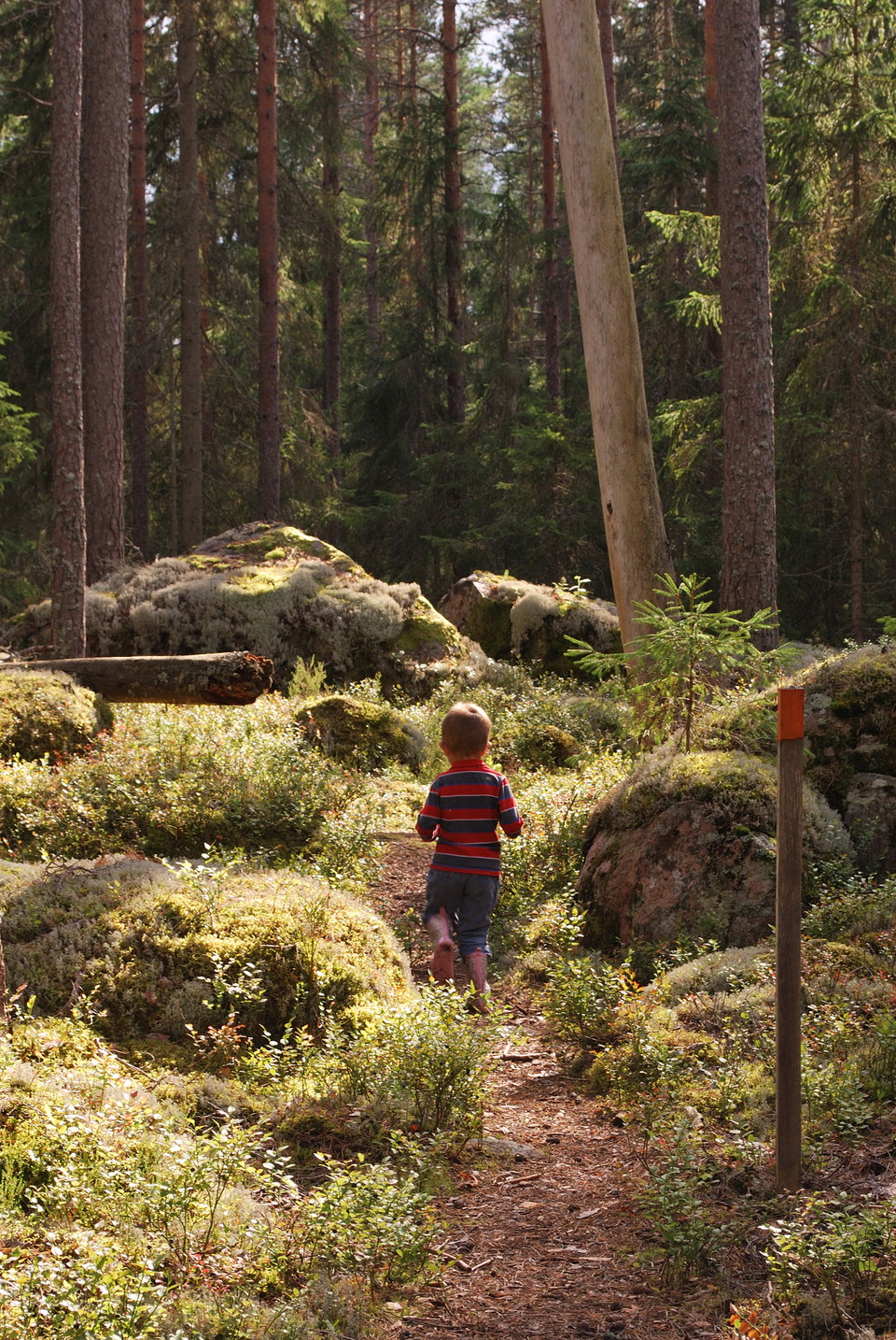
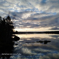
Fotograf: Tobias Ivarsson -
-
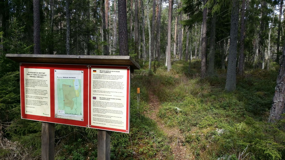
Skårtaryd hiking trail
- Hiking
- Near parking
- County: Kronobergs län
- 6817.24 km away from you
Trail details
- Length 1.4 km
- Difficulty Blue - medium
Actions
Description
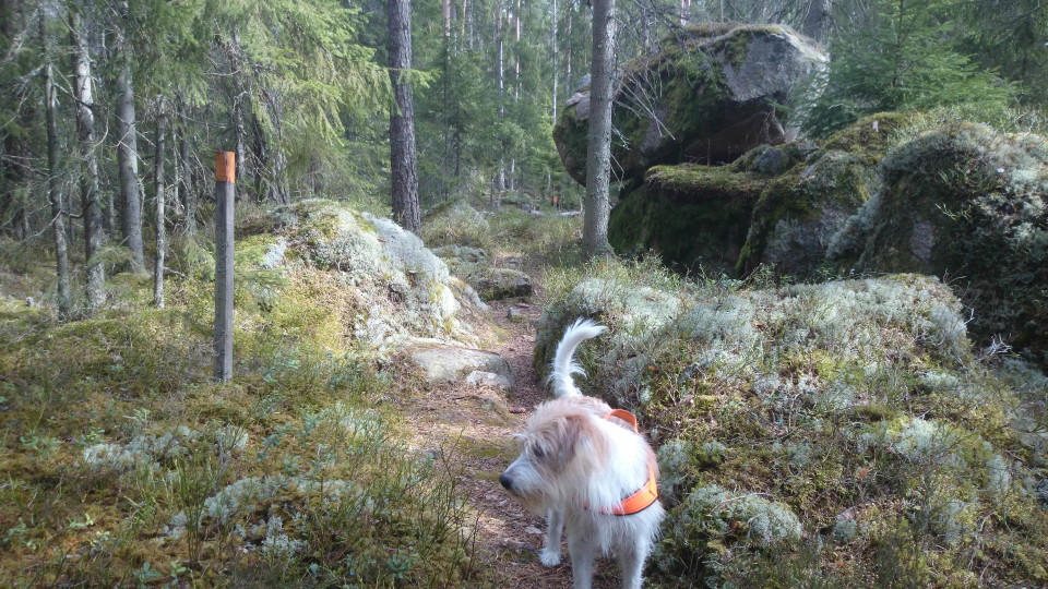
This orange-marked loop will take you through the Skårtaryd naturre reserve and give you wonderful experiencs of a tranquil and lovely old-growth forest. Be careful to preserve this sensitive biotope by staying to the trail.
Activities And Facilities
- Hiking
Accessibility
- Near parking
Surface
Path and minor gravel road
Hills
Flat
Directions
Skårtaryd primeval forest nature reserve is located about 15 kilometers northeast of Växjö.
Contact
Address
Telefon 0470-410 00
Email address
Kontaktcenter
Organization logotype

Please be aware that some of these texts have been automatically translated.
I’ve been here 9


I want to go here 19



Questions & Answers
Ask a question to other Naturkartan users.
Reviews
1 review
- 5 :
- 4 :
- 3 :
- 2 :
- 1 :
Users images
No user images yet. Be the first to share!

mysig kort led i trollskog