
Notteryds gula stigar
- Hiking
- Trail running
- County: Kronobergs län
- 6811.79 km away from you
Trail details
- Length 1.3 km
- Difficulty Blue - medium
Actions
Description
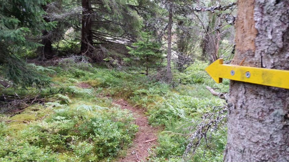
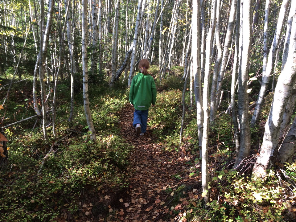
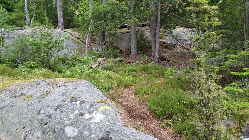
If Notteryd Runt feels too far, you can take a shortcut to several of Notteryd's gems. Yellow-marked paths reach Tungan and Tussudden, among others. The surface is generally flat and good. The path from Notteryd's flower meadow to Gripeberg, however, is very hilly.
Activities And Facilities
- Hiking
- Trail running
Surface
Varied nature trails
Hills
Varied with both slopes and flat parts
Parking
Found in Notteryd nature reserve
Directions
From Växjö, follow the road from Fylleryd towards Vikensved.
Contact
Address
Telefon 0470-410 00
Email address
Kontaktcenter
Organization logotype

Please be aware that some of these texts have been automatically translated.
I’ve been here 8



I want to go here 11



Questions & Answers
Ask a question to other Naturkartan users.
Reviews
0 reviews
- 5 :
- 4 :
- 3 :
- 2 :
- 1 :
Users images
No user images yet. Be the first to share!
