Neptuni
Hiking
- County: Kalmar län och Öland
- 6553.62 km away from you
Trail details
- Length 2.7 km
Actions
Description
Things to do - Hiking, running and cycling
Length - 2.7 km
Attractions - Traces of Vikings, rich fossil fauna,
Good to know - Information board
Contact details - Kalmar County Administrative Board, Tel: 010-223 80 00
Links - www.lansstyrelsen.se/kalmar
Trail description
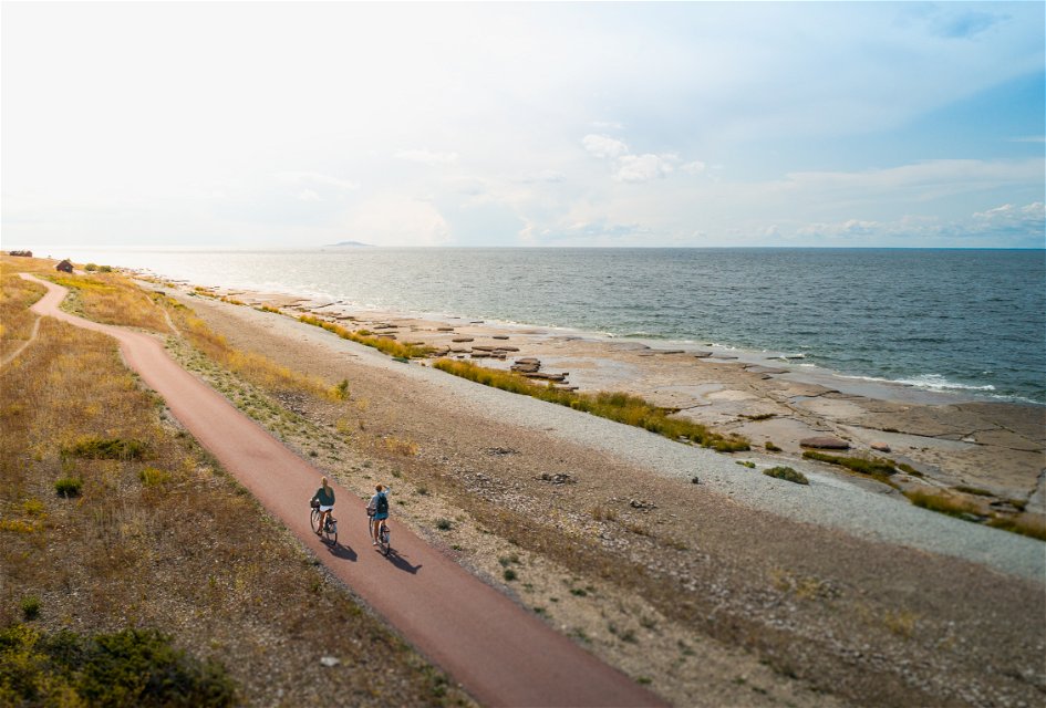
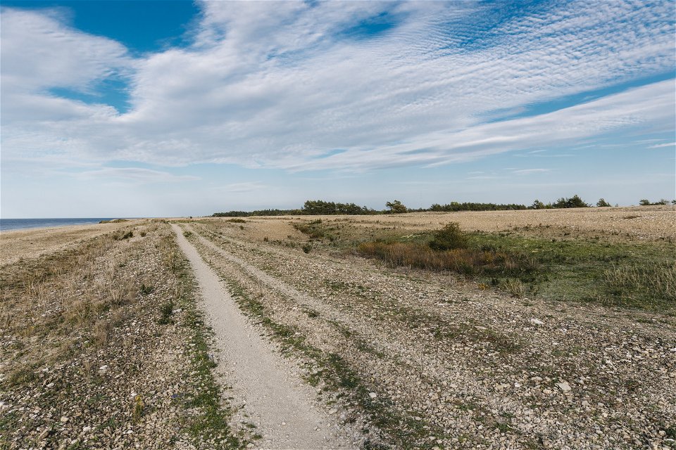
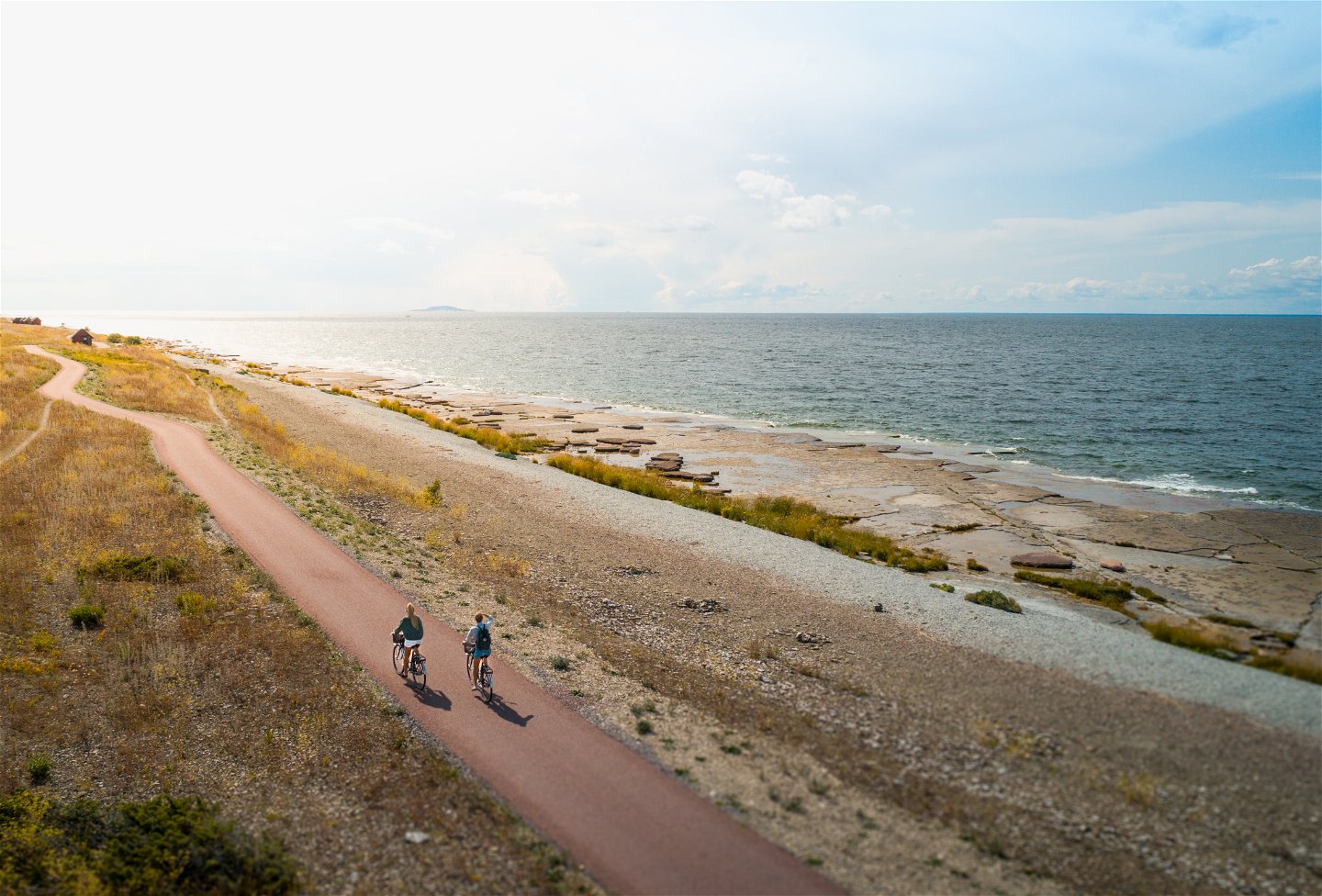
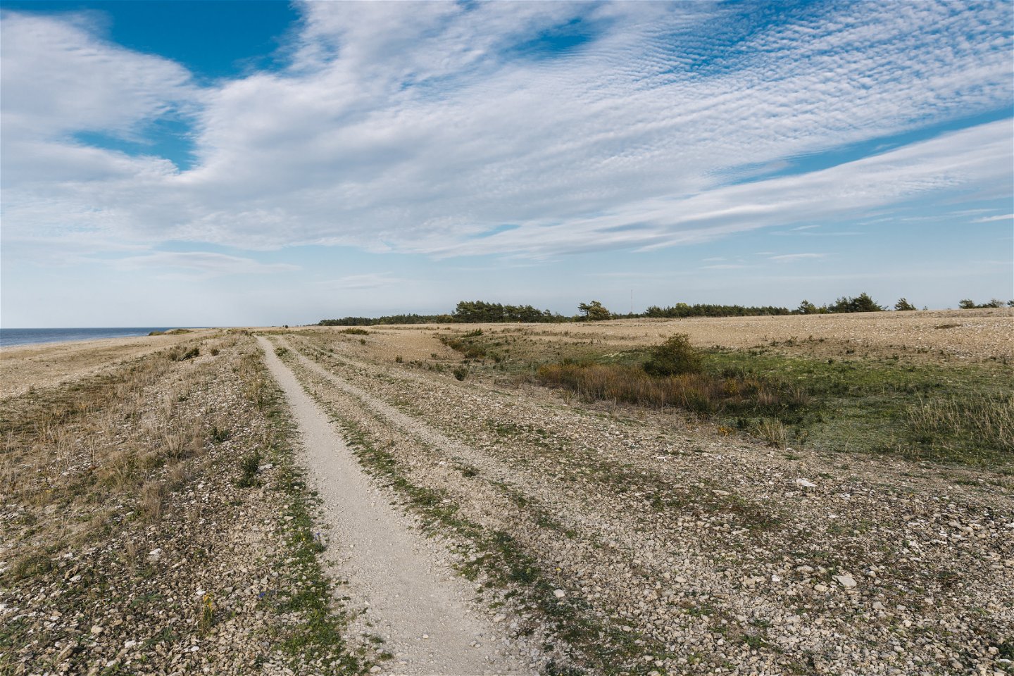
Neptuni Fields is a shingle field along the coast. The nature reserve takes you through a barren and windswept environment. The trails lead you past shingle fields and paths through the fields. During the summer, you can experience colorful walks when the gray fields turn into a sea of flowering bluebells and gray buttercups, chickweed, sow thistle, sheep's fescue, gravel clover and thyme.
Activities And Facilities
-
Biking
-
Hiking
-
Running
-
Walking
Accessibility
-
Near parking
Facts
Rich fossil fauna
The name "Neptune Fields" is attributed to Carl Linnaeus. He passed here during his voyage to Öland in 1741. This is a 200 meter wide sea wall system, a formation from the last ice sheet. An embankment consists mainly of flat stones and gravel that have been transported by the waves above or parallel to the waterline. The area is well studied in terms of fossil fauna, which is rich. There are many examples of trilobites, a type of arthropod, and brachiopods, a type of clam.
Fields of blue fire
In this barren and windswept environment, only drought-resistant plants survive. The vegetation of the Neptune fields is therefore sparse. Nevertheless, it is precisely the vegetation that is one of the reasons why Neptuni Fields is one of Öland's most popular areas. In the summer, the grey fields turn into a colourful sea of flowering bluebells. However, this plant is not native to Öland but has been introduced by humans. In 1934, a boatload of gravel from Ven was landed in Byxelkrok. The gravel contained bladderwort seeds that spread and today bladderwort grows in several places on Öland.
Traces of Vikings
Adjacent to the southern part of the reserve is a burial ground of great cultural-historical interest. It is Öland's northernmost grave field and has been dated to the Viking Age, about 1000 years after Christ. The grave field is 150 meters long, 30 meters wide and consists of twelve cairns, 32 round stones, nine coffin graves, a trident, a remaining stone and a large ship-shaped stone called Forgalla ship. South of the cemetery there is a 1.7 meter high remaining stone called Göga flisa. According to tradition, it is a remnant of a Christian prayer place for the fishermen in Byxelkrok.
Source: Kalmar County Administrative Board
Directions
The reserve is located on the 136, about 2 kilometers north of Byxelkrok. There are four major parking pockets along the reserve.
Regulations
In the nature reserve you may not:
Damage or remove fixed natural objects or surface formations.
Damage or remove growing trees, shrubs or plants.
Pick flowers.
Hunt, kill, capture or injure wild mammals, birds or their young.
removing or damaging eggs or nests
deliberately disturbing wildlife
Damage or remove fencing (e.g. fences).
Bringing dogs that are not on a leash
Driving a motorized vehicle off designated roads or trails.
Parking other than in designated parking areas.
Making a fire.
Camping or setting up a caravan.
Disturbing the environment with loud noises such as music, video or radio.
Source: Nature Management Unit, Kalmar County Administrative Board.
Questions & Answers
Ask a question to other Naturkartan users.


