
Lönnebergaleden
- Hiking
- Walking
- Running
- Trail running
- County: Kalmar län och Öland
- 6818.65 km away from you
Trail details
- Length 85.6 km
Actions
Description
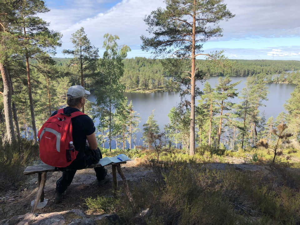
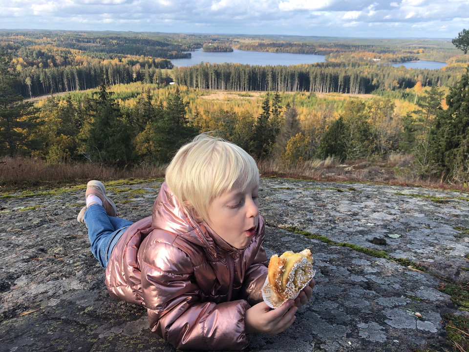
This trail crosses the upper part of Hultsfred municipality and connects Ostkustleden with Sevedeleden. Lönnebergaleden belongs to Sweden's network of lowland trails and is therefore marked in orange. The hike is very varied with small peaks, nice views and deep troll forests. You walk on old church roads, pass homestead parks and some memorials. The trail runs through a vibrant agricultural landscape, through forests and past lakes.

Activities And Facilities
- Walking
- Running
- Hiking
- Trail running
Facts
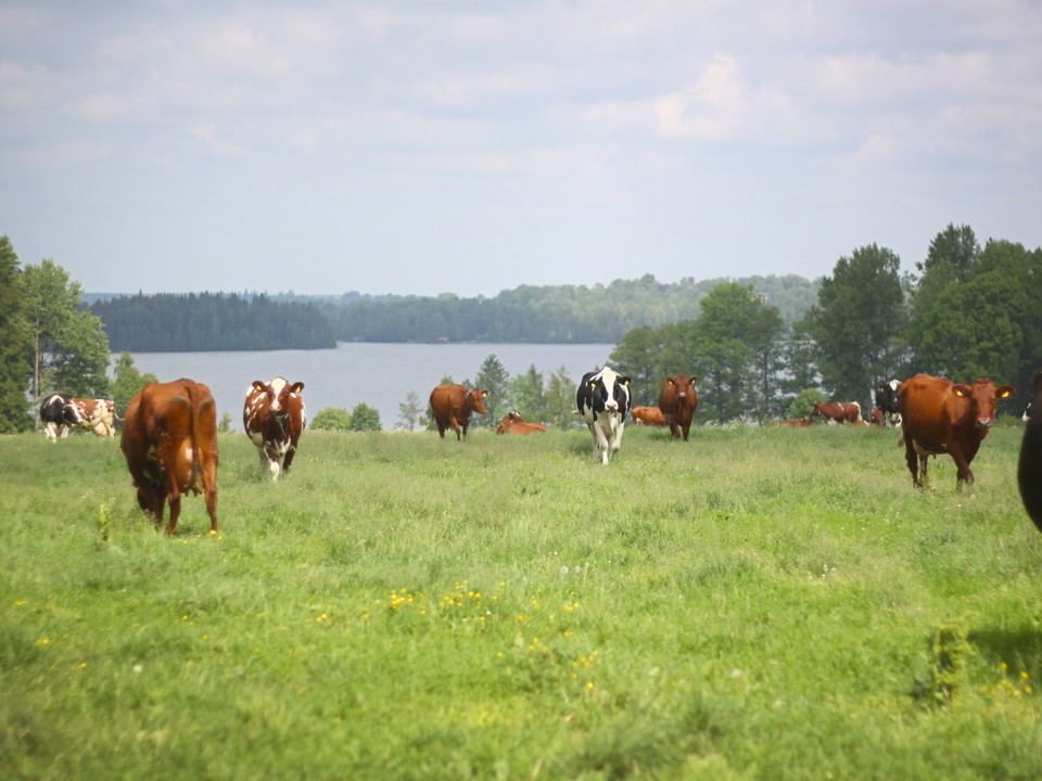
- The trail is usually easy to walk, and if you want to spend the night along the trail, there are several shelters at a reasonable distance but also hostels and hotels. We have divided this section into five different stages + 2 extra sections. Along the trail there are dry toilets and some water stations. On some stretches, you may have to pass through a pasture with livestock.
Downloads
Contact
Email address
Hultsfreds Turistinformation
Organization logotype

Please be aware that some of these texts have been automatically translated.
I’ve been here 3


I want to go here 14


Questions & Answers
Ask a question to other Naturkartan users.
Reviews
1 review
- 5 :
- 4 :
- 3 :
- 2 :
- 1 :
Users images
No user images yet. Be the first to share!

Gick etapp Hultsfred-Visböle-Lönneberga. leden är bitvis dåligt markerad och svår att hitta på. Tex genom Hultsfred centrum samt när man kommit över tågspåret efter Visböle. Ta vänster på stora vägen ca 70m sen höger över vägen. I övrigt var inte leden särskilt fin. 80% av vandringen var på avverknings vägar/ grusvägar. Mycket av skogen längs leden var kalhuggen. Vi valde att inte vandra vidare Mellan Lönneberga -Hultsfred pga den kapade skogen och att det nästan bara var grusväg.