
Knipesjöleden
- Hiking
- Guide: Mullsjö kommun
- 6704.49 km away from you
Trail details
- Length 8.3 km
- Difficulty Green - simple
Actions
Description
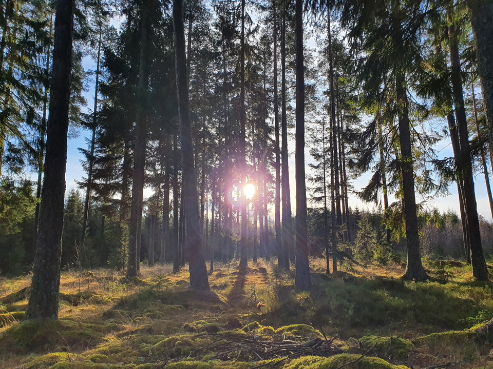
The ca. 9 km long hiking trail runs in a partially flat, partially hilly region. If you circle the lake anti-clockwise, you will feel the change in altitude significantly less. The Knipesjöleden follows beaten paths, simple tracks, goes through sheer woodland, and has footbridges in the wetter areas. Sturdy shoes are recommended. The trail has violet markings. You will find a place to rest at Lövhagen.
Activities And Facilities
- Hiking
Contact
Email address
Infocenter Mullsjö kommun
Organization logotype

Please be aware that some of these texts have been automatically translated.
I’ve been here 1

I want to go here 3
Questions & Answers
Ask a question to other Naturkartan users.
Reviews
0 reviews
- 5 :
- 4 :
- 3 :
- 2 :
- 1 :
Users images
No user images yet. Be the first to share!
