
-
-
-
-
-
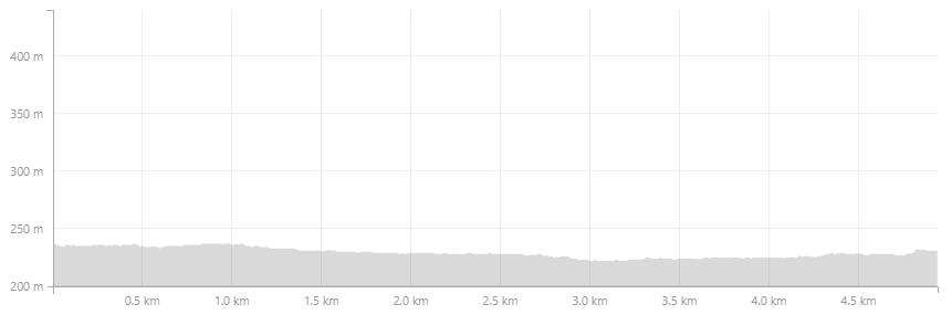
Höjdkurva -
LONA
Dumme mosse - Gula leden
- Trail running
- County: Jönköpings län
- 6722.81 km away from you
Trail details
- Length 5.0 km
- Difficulty Green - simple
Actions
Description
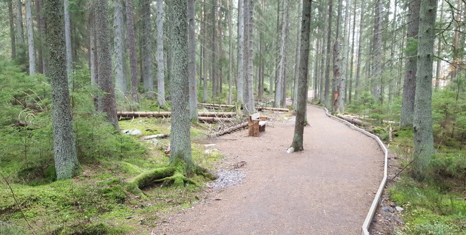
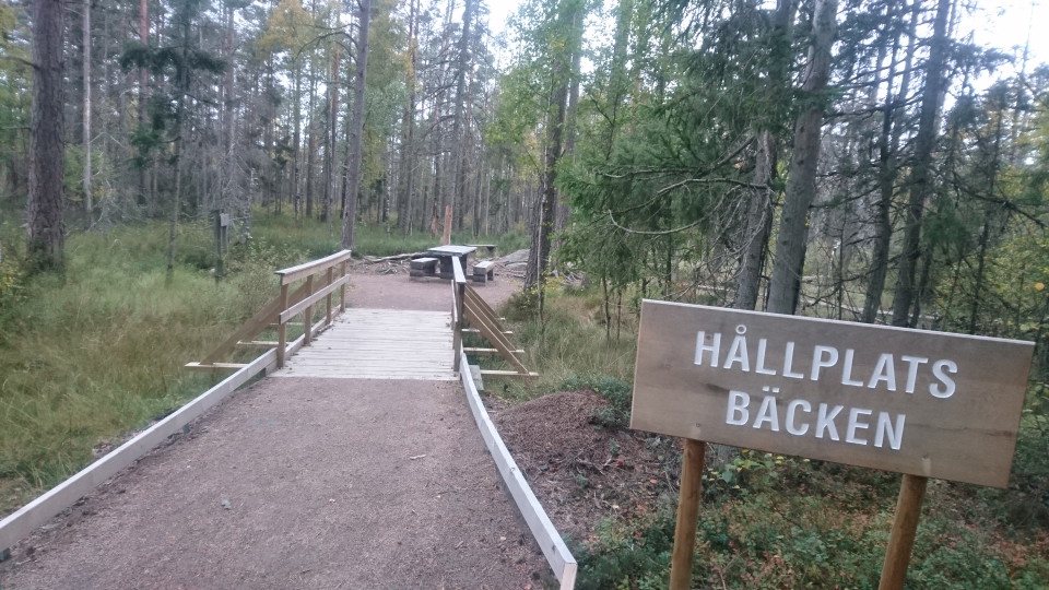
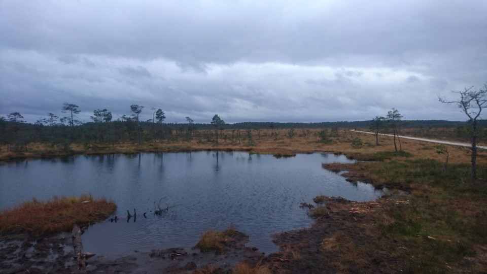
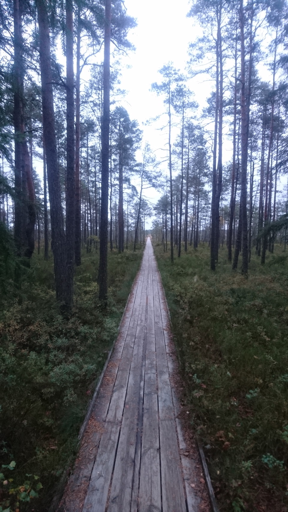
Dumme mosse is one of the county's largest and most varied mire areas with many different types of wetland. Wilderness feeling and raised bog. A footbridge allows you to run dry-shod and the trail is adapted for the disabled. The yellow trail is a classic excursion destination for Jönköping residents but is also very suitable for trail running. The feeling of being out in wild nature while running on trails is wonderful.
The trail is measured with the help of LONA grants.
Activities And Facilities
- Trail running
Surface
Spänger, stig, grusväg.
Directions
Follow highway 40 west from Jönköping towards Gothenburg. Follow the signs to Axamo airport. From the airport there are signs to parking lots in the southern part of Dumme mosse.
Contact
Address
Kontakta oss om du har frågor om Jönköpings natur och friluftsliv.
Email address
Organization logotype

Please be aware that some of these texts have been automatically translated.
I’ve been here
I want to go here 1

Questions & Answers
Ask a question to other Naturkartan users.
Reviews
0 reviews
- 5 :
- 4 :
- 3 :
- 2 :
- 1 :
Users images
No user images yet. Be the first to share!
