
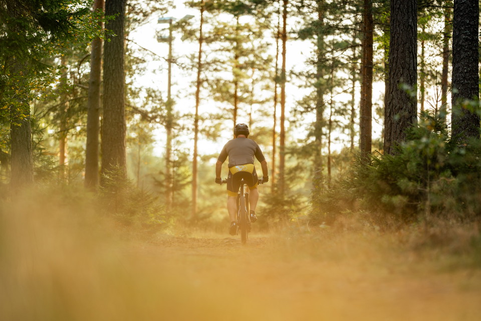
Bottnarydsrundan
- Biking
- County: Jönköpings län
- 6703.05 km away from you
Trail details
- Length 53.0 km
- Difficulty Blue - medium
Actions
Description
Welcome to a 53 km long bike ride where you can familiarize yourself with unique cultural environments, primeval forests and fantastic churches. You will also pass several good outdoor swimming pools. We recommend that you take the tour as a full-day excursion. Ingo/Frendo in the southwestern edge of Mullsjö town has been chosen as the starting point. Note that the trail is unmarked.
Activities And Facilities
- Biking
Contact
Email address
Infocenter Mullsjö kommun
Organization logotype

Please be aware that some of these texts have been automatically translated.
I’ve been here
I want to go here
Questions & Answers
Ask a question to other Naturkartan users.
Reviews
0 reviews
- 5 :
- 4 :
- 3 :
- 2 :
- 1 :
Users images
No user images yet. Be the first to share!
