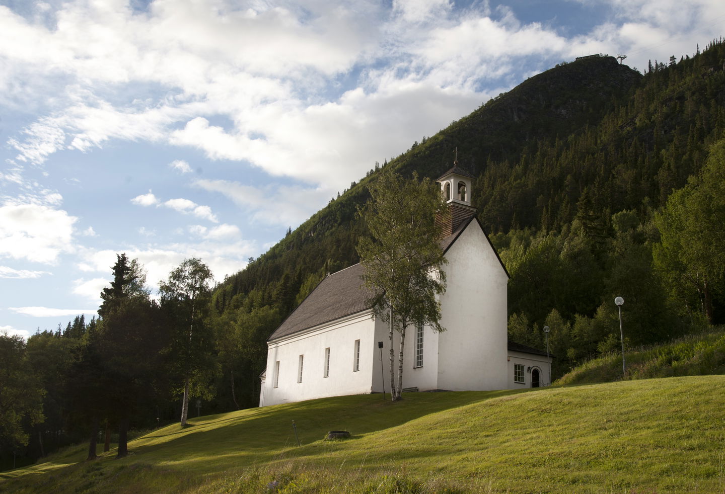
Ol Jonsvallen - Ljusnedal - Funäsdalen, Church Trail Romboleden Stage 28:1
Pilgrim Trail
- County: Jämtlands län
- 7032.7 km away from you
Trail details
- Length 10.4 km
- Time 1 h 40 min
- Difficulty Blue - medium
Actions
Description
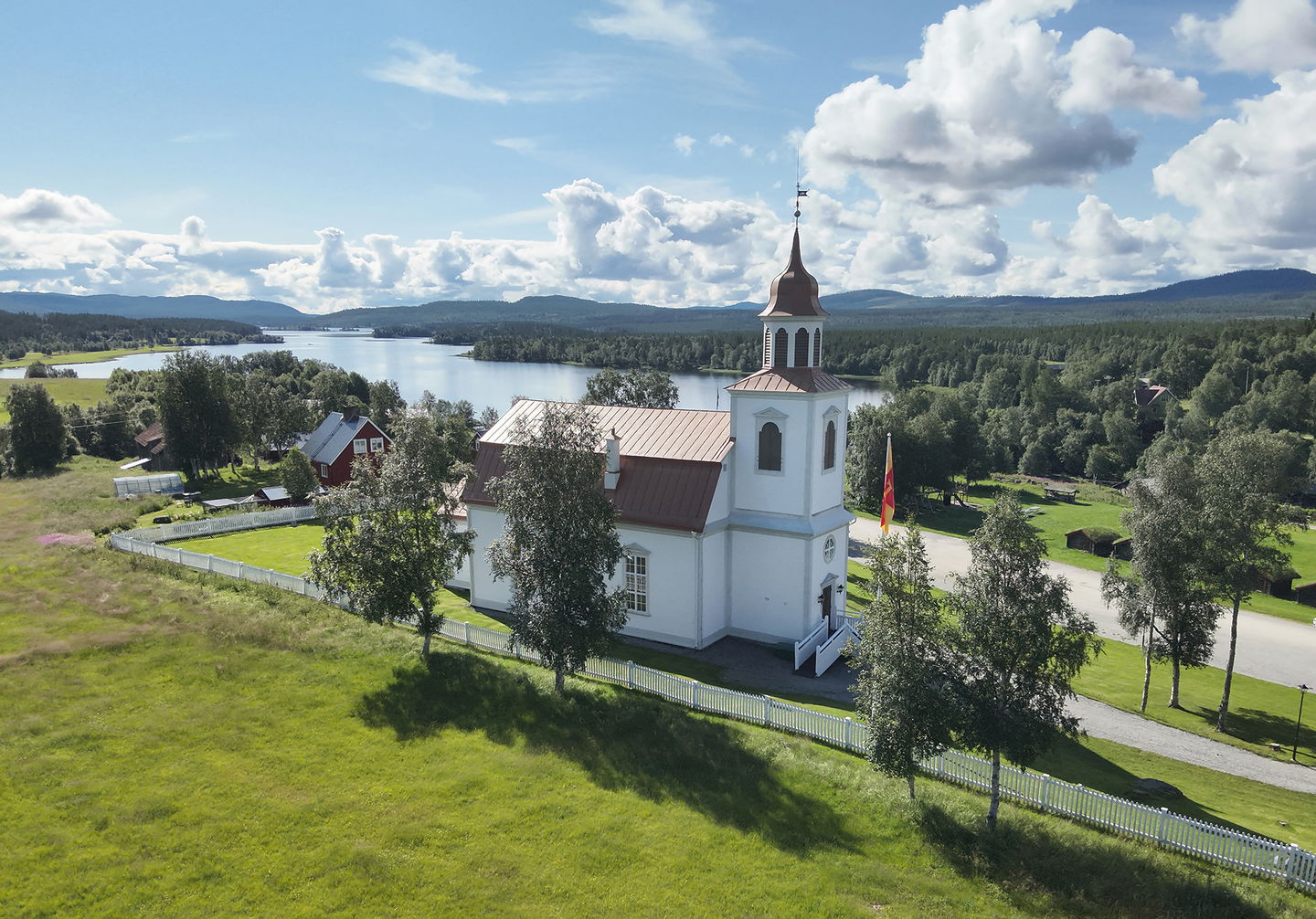
The red-marked "church trail" connects Romboleden with the churches in Ljusnedal and Funäsdalen. You follow both roads and scenic paths with nice resting places. Halfway between the churches there is a rest area with views of the Ljusnedal landscape. Along the entire slope are the area's old potato fields - planted high up to escape the frost as long as possible. The stretch between the churches is easy to walk and is used for local pilgrimages.
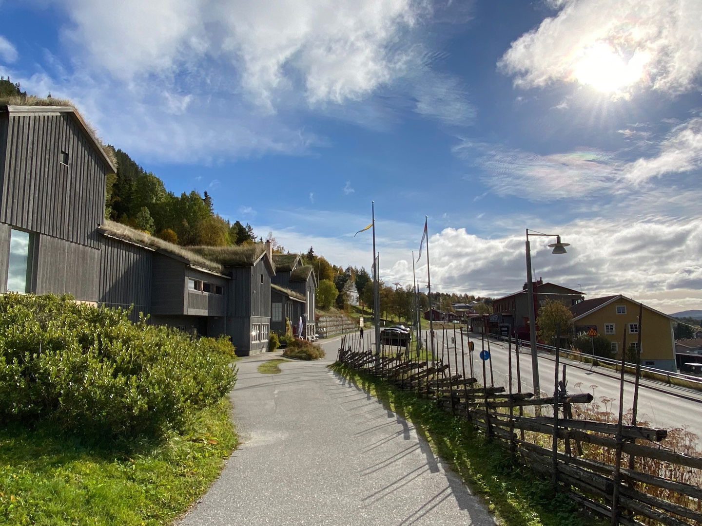
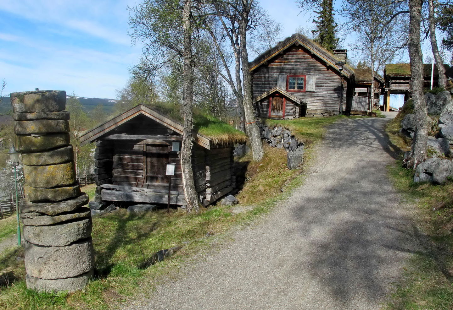
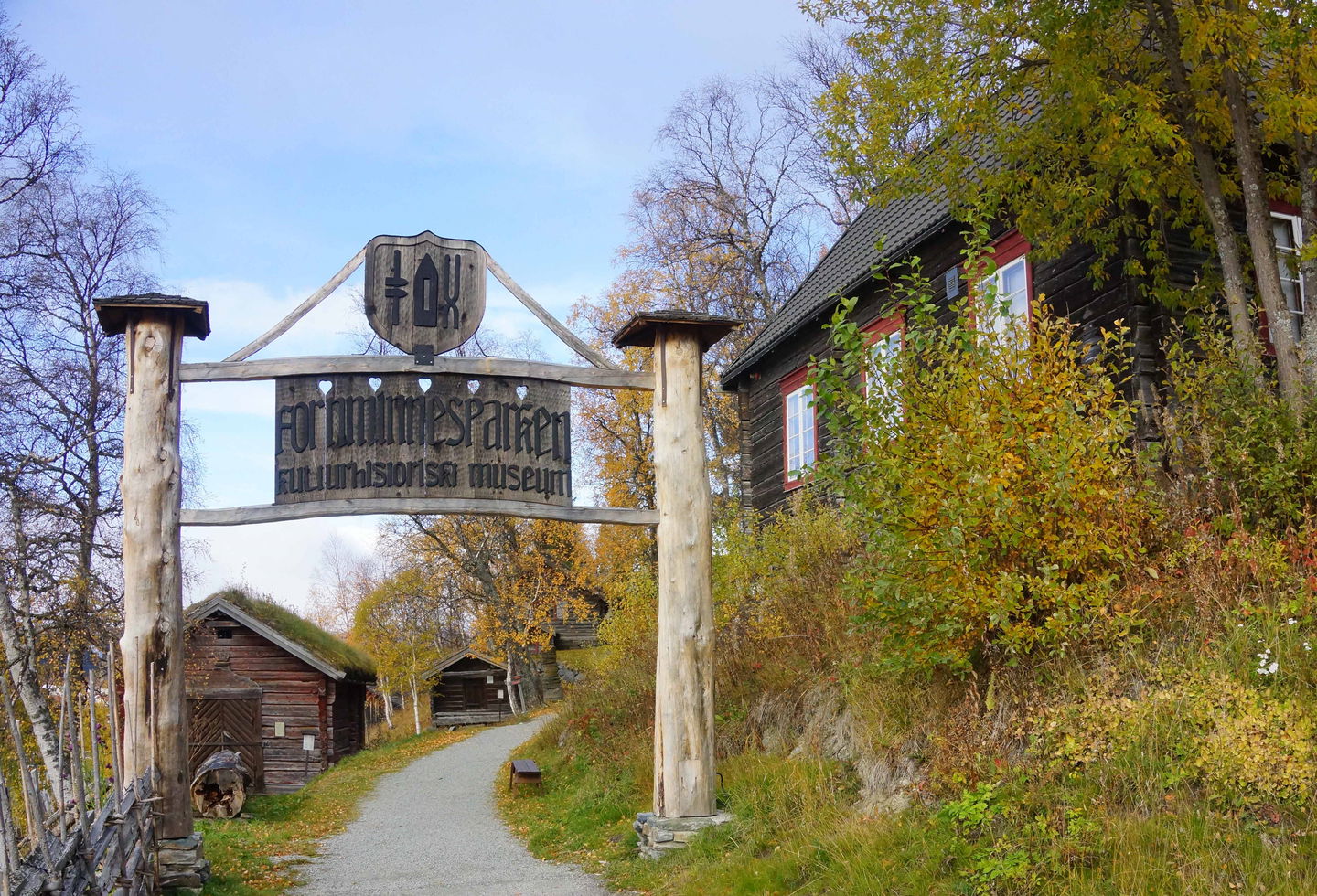
In Funäsdalen you can visit the mountain museum, which highlights Härjedalen's rich and distinctive cultural environment. Adjacent to the museum is the ancient monument park with buildings from the 16th century to the 1940s. In Ljusnedal you can follow information signs to read about the history of the mill area.
Walk in the footsteps of the pilgrims
The Romboleden trail offers a cultural-historical journey along paths and roads that have been trodden by pilgrims since the 11th century. It is the oldest pilgrimage trail in the Nordic region - and Sweden's longest. The trail is also one of Europe's longest pilgrimage trails. The Rombo Trail stretches approximately 900 km from Köping Church in Mälardalen to Nidaros Cathedral in Trondheim on the Norwegian Atlantic coast.
If you hike the entire trail, you will experience a beautiful and varied landscape. You will walk on old shepherd's paths, over mountain expanses and along narrow gravel roads in the countryside. You'll find everything from easy day hikes with cafés along the way - to long hikes that take several days. The trail often passes through small communities.
It's your choice whether you want to walk for health, recreation or religious reasons. The whole Rombo Trail is long, but you can of course walk each section separately. For natural reasons, the trail sometimes diverges from the historic paths, but it mainly follows the medieval route.
Thanks to the landowners - be considerate when hiking
The Rombo Trail runs largely through actively managed forest and agricultural land. Thanks to the generosity of landowners and the cooperation of volunteers, you will have the opportunity to walk through landscapes that would otherwise not be accessible.
As a hiker, it is important to remember that you are walking on someone else's land. Be considerate by sticking to the trail, avoiding disturbing animals, crops and work in progress. Leave nature as you found it - or even better.
Leave nothing but footprints along the trail.
Activities And Facilities
-
Hiking
-
Pilgrim Trail
Surface
Path and asphalt road
Hills
Hilly forest terrain
Parking
Parking at the churches.
Communications
Public transport Länstrafiken Jämtland and Härjedalingen.
Härjedalingen serves Funäsdalen.
Train from Stockholm to Östersund or Ljusdal and further by bus to Funäsdalsfjällen and Ljusnedal.
You can get to Funäsdalsfjällen by car, bus, plane, or train with transfer. Most people drive to get here, but it's also great to go by bus. The nearest airport is in Röros in Norway, as well as airports in Sveg and Östersund, with transfer options to Funäsdalsfjällen.
Please note that advance booking of bus/taxi may be required.
Directions
Bus station at Ljusnedal.
The nearest bus station at the end of the stage is Funäsdalens bus station, 8 minutes walk to Funäsdalens church.
Regulations
Thanks to the landowners – show consideration when hiking
St Olav Rombo Way runs mainly through actively cultivated forest and agricultural land. Thanks to the generosity of the landowners and the cooperation with non-profit organizations, you have the opportunity to hike through landscapes that would otherwise be inaccessible.
As a hiker, it is important to remember that you are walking on someone else's land. Show consideration by sticking to the trail, avoiding to disturb animals, crops and ongoing work. Leave nature as you found it - or even better.
Leave nothing but footprints along the trail.
Whenever you visit Swedish nature you have a Right to public access. Read more about it here.
As a hiker you are sometimes walking in protected nature with specific rules and regulations. You are responsible for making sure you are following the rules. You can read more about it at the Swedish Environmental Protection Agency and the County Administrative Board.
As a hiker, you are responsible for finding out about any local regulations, paying attention to traffic and showing consideration for others who share the trail with you.
Remember to only start camp fires in established barbecue areas and ensure that there is no fire ban in your area.
Remember that rational agriculture or forestry may occur along the trail.
Downloads
Questions & Answers
Ask a question to other Naturkartan users.


