
-
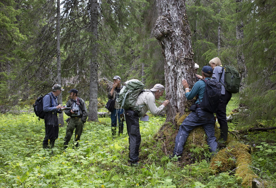
Skogsinventering i Portfjällets sluttning.
Photo: Jon Andersson -
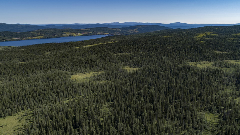
Sortmyran.
Photo: Jon Andersson -
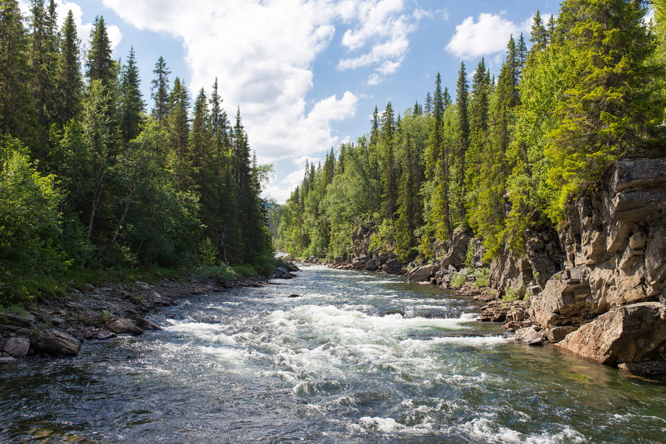
Strömmande vatten i Gäddede.
Photo: Jon Flobrant
90. Gäddede - Björkvattnet (medel) / 99. Gäddede - Sitejokkstugan (lätt)
- Hiking
- Near parking
- Near Public Transport
- County: Jämtlands län
- 6383.38 km away from you
Actions
Description
90. Hike towards Björkvattnet: Start your hike on Lillfjällsrundan starting from the lighted trail at the end of Fjällvägen behind the school in Gäddede. From the top of Lillfjället you can see large parts of Fostviksfjällen and the entire Kvarnbergvattnet. At the top there is a rest cabin, "Lillfjällsstugan". At Muruhatten, south of Lillfjället, there is a rest cabin that is open. From the top of Muruhatten you can see the ancient mountain landscape with all the small waterholes and into Norway's Lierne National Park. In the area around Muruhatten there are some interesting soapstone mines that were in operation in the 30-40s.
From Norra Lillfjällstjärnen, north of Lillfjället, a snowmobile trail continues all the way to Björkvattnet.
99. Hike to Sitejokkstugan: Sitejokkstugan is a rest stop along the summer and winter trail to Blomhöjden, about 10 km east of Gäddede.
Activities And Facilities
- Hiking
Accessibility
- Near parking
- Near Public Transport
Facts
The forests south of Björkvattnet were visited in 2018 by the non-profit inventory week "Research trip to the outskirts of nature conservation". A large part of the forests surveyed had very high conservation values and were threatened by logging. Today, the authorities are planning to protect part of the forest.
Individual fishing licenses for the area can be purchased at Gäddede Tourist Information. These fishing waters are also included in the Frostvik card "14 mil 110vatten".
Accommodation is available at STF Björkvattnet just north of Lake Björkvattnet or at Lindahls fjällgård south of the lake towards the Norwegian border.
Please be aware that some of these texts have been automatically translated.
I’ve been here 1

I want to go here 4

Questions & Answers
Ask a question to other Naturkartan users.
Reviews
1 review
- 5 :
- 4 :
- 3 :
- 2 :
- 1 :
Users images
No user images yet. Be the first to share!

En ”sommarled” som till stor del går genom myrmarker utan en enda spång. Mycket tungt att gå. Dock väldigt vackert.