
241 Vällistetoppen (vandringsled, Trillevallen)
- Hiking
- Trail running
- Near parking
- Near toilet
- County: Jämtlands län
- 6397.83 km away from you
Trail details
- Length 4.2 km
- Difficulty Red — demanding
Actions
Description
Activities And Facilities
- Hiking
- Trail running
Accessibility
- Near parking
- Near toilet
Facts
Start/finish
The trail starts and returns to Trillevallens Högfjällshotell (the trail can also be started from the parking lot of the alpine resort).
Difficulty level
Red - medium difficulty
Time
How fast you hike a trail in a mountain environment varies greatly, but expect to cover an average of 3-5 kilometers per hour depending on how many stops you make.
Signage/trail markings
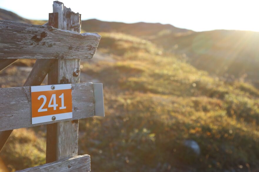
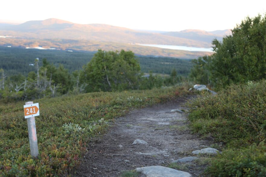
The trail is marked with posts with orange markings, partial trail crosses and trail number 241.
Physical map
The trail is marked on the Mountain Map and on Södra Årefjällen's trail map "Mountain experiences".
Trail fee
Trail manager
Recommended period
This trail runs partly in areas that are very sensitive when the ground is wet. Avoid the trail during snowmelt and also when there has been heavy rain.
It is good to bring an extra windbreaker even if the weather forecast looks good.
To look out for the trail
When you hike or run this trail, you pass Norra stugan, Ytterstvallen and Ludumyrens vindskydd for nice breaks after the road.
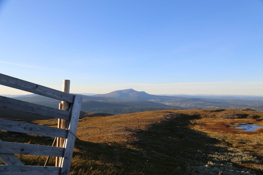
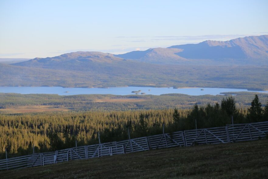
The view is miles wide and you will quickly get up to get the mountain feeling when you hike the trail.
On your feet
Depending on the season and weather, this trail is sometimes more or less wet/muddy. Water-resistant hiking boots or rubber boots are recommended.
Garbage
After the trail there are no garbage cans so don't forget to bring an extra bag in your pack to carry the garbage back home.
Dog
Dogs are welcome on a leash on the mountain. Also pick up after your dog if it has ended up in a place where someone else may risk walking in it.
Hills
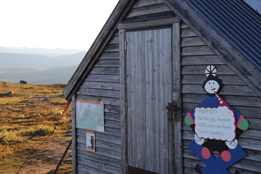
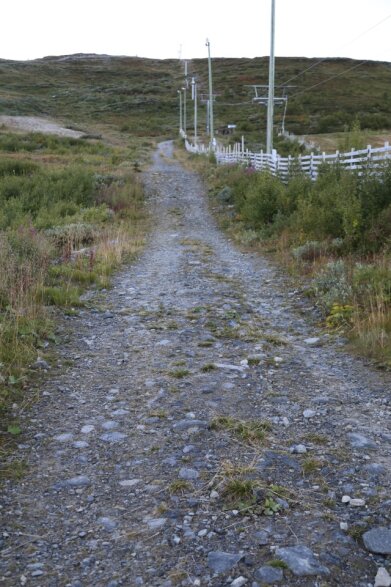
The trail starts straight up the lift street and then turns off and follows the graveled transport road up into the ski area. You follow the road all the way up to the top of Välliste 1025 m. Here the tip is to stop and enjoy the wonderful views in all directions before continuing across the mountain plateau and down the other side.
The trail turns right again and you then follow the mountainside all the way around until you once again reach the ski area and cross under the lift to then walk the last bit the same way in the lift street as you started.
Parking
Parking directly adjacent to the start of the Trillevallen cross-country trail can be found by following the Trillevallen road until you have passed Trillevallens Högfjällshotell. Just after the hotel you will see the parking lot to the left of the road.
63.262197215190575, 13.17649016756386
This parking is always free for those who have a season lift pass or annual/season track pass in Trillevallen. To register your car, you need to contact the lift pass office and get your car registered.
If you do not have these track or lift passes and want to park between 9-17 during the period 26/12 - 8/1 or 17/2- 16/4, you pay your parking.
The parking is monitored by Aimo Park and you register your parking easily in the Aimo app. If you do not have the app, you can also pay via SMS info on the signs on site.
Zone code 1215.
Directions
Från E 14 tar du av vänster ner mot Undersåker. Här passerar du sedan över järnvägen och följer skyltningen mot Trillevallen.
Väl i Trillevallen finns det tre olika val för parkering. Vid Högfjällshotellet, spårstart för längdskidor som ligger till vänster efter vägen, eller på stora parkeringen vid skidcentret.
Starta leden vid skidcentret.
Please be aware that some of these texts have been automatically translated.
I’ve been here 1

I want to go here 1
Reviews
—
0 reviews
- 5 :
- 4 :
- 3 :
- 2 :
- 1 :
Questions & Answers
Ask a question to other Naturkartan users.
Users images
Share your photos of the place!
