
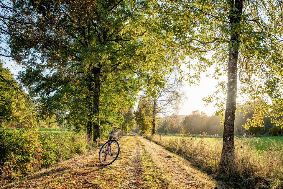
Bike trail, Pyttebaneleden
- Biking
- Hiking
- County: Hallands län
- 6686.01 km away from you
Trail details
- Length 15.0 km
Actions
Description
Pyttebaneleden stretches between Ullared och Älvsered and is ideal for cyclists. The path runs along an old railway embankment which occasionally hugs Högvadsån.
Pyttebaneleden follows the old railway embankment between Ullared and Älvsered. Falkenberg’s railway once passed through this route (from 1896-1961) and was called Pyttebanan. The bike trail is clearly marked with red-and-white signs. The trail mainly consists of hard-packed gravel and is easy to travel on for cyclists. There are no hills along the way, and the landscape alternates between open fields and forest groves. Every now and then, the trail follows Högvadsån, a river known for being a major spawning ground for salmon and sea trout. There are information signs posted at regular intervals along the trail. Be sure to read through them if you want to learn more about the nature, culture and history of the area. The trail is 15 km long.
Activities And Facilities
- Biking
- Hiking
I’ve been here
I want to go here
Questions & Answers
Ask a question to other Naturkartan users.
Reviews
0 reviews
- 5 :
- 4 :
- 3 :
- 2 :
- 1 :
Users images
No user images yet. Be the first to share!
