Hallandsleden
Upptäck Hallands vackra inland till fots genom...

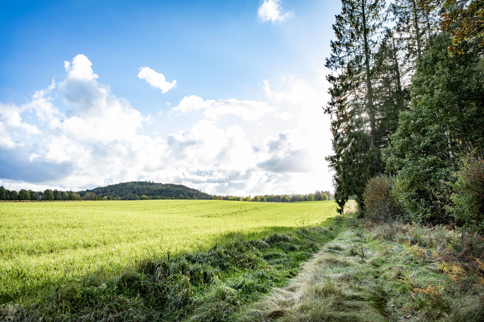
The trail follows the Högvadsån valley to the northeast for just over 12 km. Almost the entire stretch runs right next to the river, which flows in a fairly rapid course. The trail is easy to walk here because it runs on the embankment of the "Pyttebanan". This narrow-gauge railway ran between the coastal town of Falkenberg and Limmared in Västra Götaland between 1894 and 1959. Once you leave the flat embankment, you come back up to woodland.
Please be aware that some of these texts have been automatically translated.

Ask a question to other Naturkartan users.
0 reviews
No user images yet. Be the first to share!