
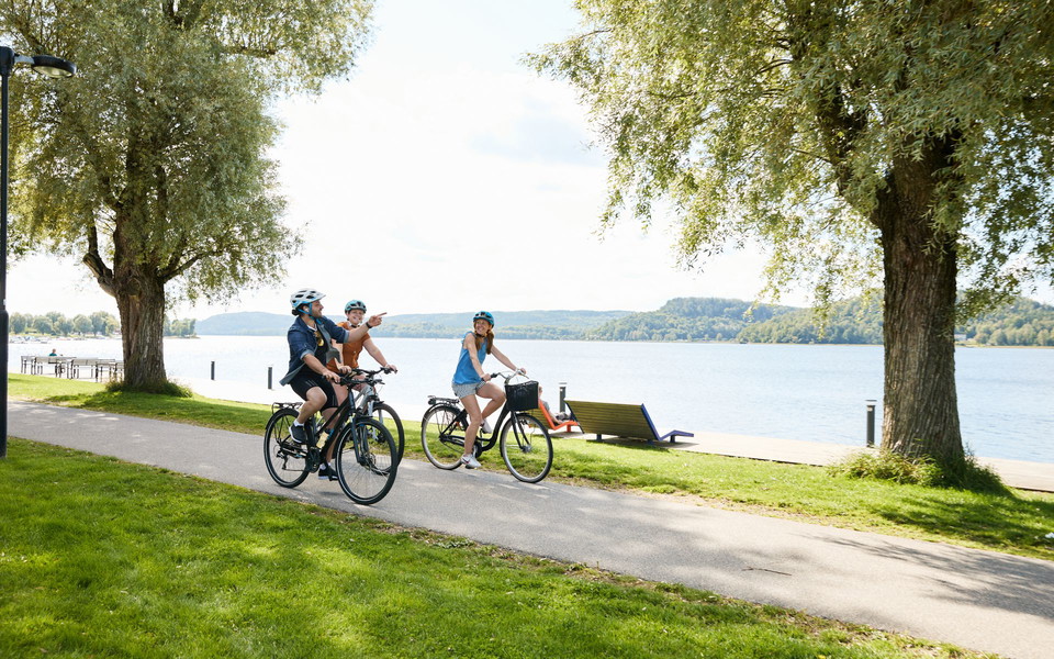
Ätradalsleden, Falköping - Ulricehamn
- Biking
- County: Hallands län
Trail details
- Length 48.0 km
Actions
Description
Stage 1: Falköping – Ulricehamn (48 km)
The first stage of the Ätradalsleden stretches 48 km from Falköping to Ulricehamn and largely follows a former railway embankment through a beautiful natural and cultural landscape. The route is almost entirely car-free and clearly signposted, making it easy and enjoyable to cycle.
Along the way, you pass rural villages and historic sites. Don’t miss the Luttra passage grave – one of the most famous prehistoric monuments in the Falbygden area – or Ekehagen Prehistoric Village in Åsarp, where environments from the Stone, Bronze and Iron Ages have been recreated. The area also features the Olsbro Runestone, one of the most beautiful runestones in Falbygden, as well as Basta Kvarn in Blidsberg, a popular mill café in a scenic setting. The stage also passes through Baktrågen Nature Reserve, known for its varied landscape and rich plant life.
Activities And Facilities
- Biking
I’ve been here 1
I want to go here 1

Questions & Answers
Ask a question to other Naturkartan users.
Reviews
0 reviews
- 5 :
- 4 :
- 3 :
- 2 :
- 1 :
Users images
No user images yet. Be the first to share!
