
-
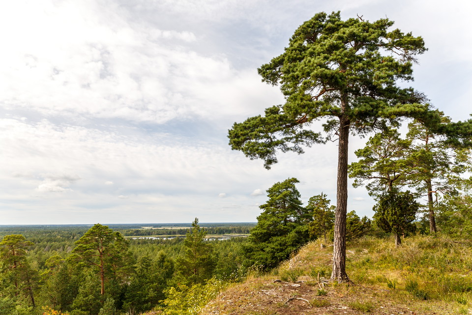
Man ser långt från Torsburgen
Photo: David Skoog / Länsstyrelsen i Gotlands län -
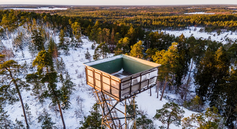
Utmed vandringsstigen finns ett gammalt militärt utsiktstorn som nu fungerar som utsiktstorn för vandrar och naturintresserade.
Photo: David Skoog / Länsstyrelsen i Gotlands län -
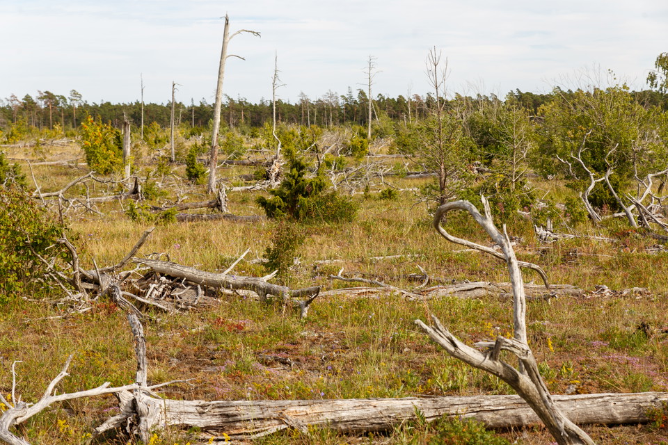
Torsburgen härjades på 90talet av en stor skogsbrand. Både uppe på platån och nedanför syns fortfarande att marken varit brandhärjad.
Photo: David Skoog / Länsstyrelsen i Gotlands län
Naturstig, Torsburgen
- Hiking
- Archaeological
- Circular trail
- County: Gotlands län
- 6981.13 km away from you
Trail details
- Length 4.6 km
Actions
Description
Signposts at trail junctions
Activities And Facilities
- Hiking
- Archaeological
- Circular trail
Facts
Torsburgen Nature Reserve is located directly northwest of the Herrgårdsklint Nature Reserve. Torsburgen is one of Gotland's most powerful inland cliffs - the plateau on top of the castle has an area of 1.2 square kilometers, and the highest point is just over 71 meters above sea level. To the west, north and east, Torsburgen is bordered by 10-25 meter high cliffs. On the north-western slope there are several caves, of which "Burglädu" is the deepest (16 meters).
The hiking trail on Torsburgen leads around the entire plateau. The Torsburgen Trail, which is a longer hiking trail, also goes straight across the plateau and provides the opportunity to shorten the round loop for those who want.
Contact
Email address
Länsstyrelsen i Gotlands läns naturvårdsförvaltning
Organization logotype
Please be aware that some of these texts have been automatically translated.
I’ve been here 6

I want to go here 4
Questions & Answers
Ask a question to other Naturkartan users.
Reviews
0 reviews
- 5 :
- 4 :
- 3 :
- 2 :
- 1 :
Users images
No user images yet. Be the first to share!
