
-
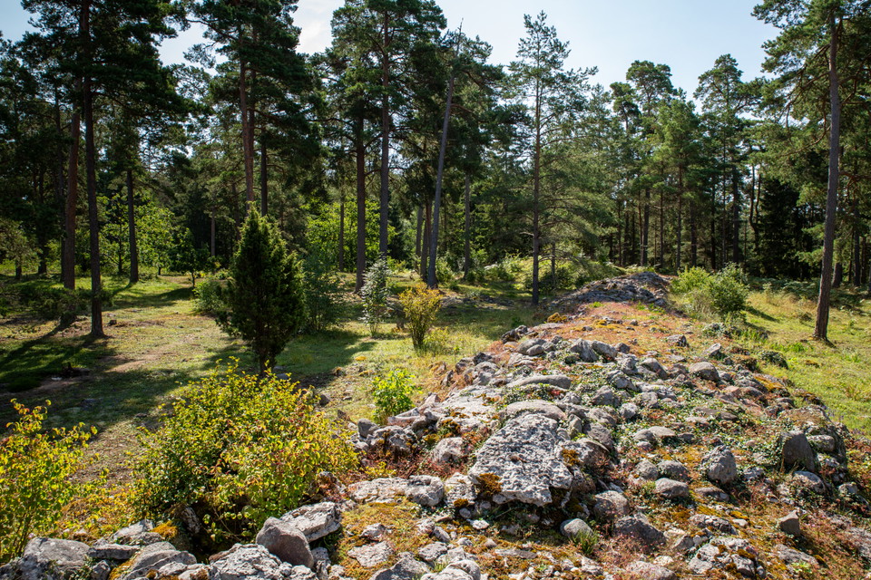
Den västra sidan av Kaupungs slott syns tydligt med en stor vall.
Photo: David Skoog / Länsstyrelsen i Gotlands län -
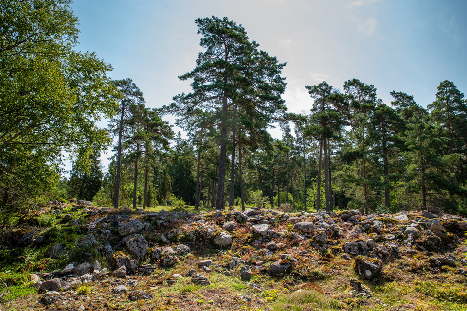
Photo: David Skoog / Länsstyrelsen i Gotlands län -
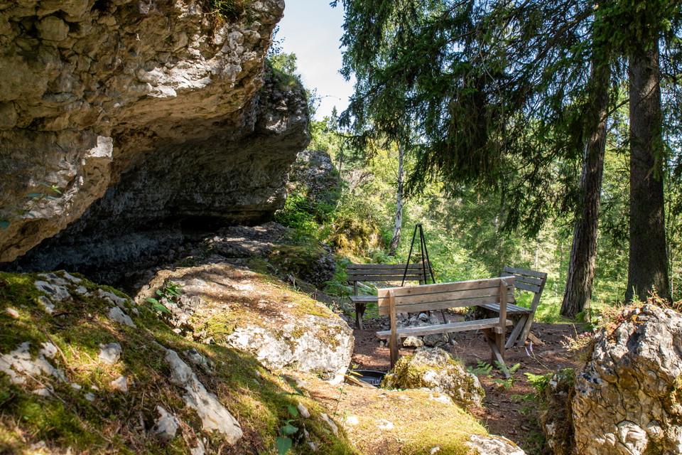
Nedanför klintkanten vid östra sidan av Kaupungs slott har privata aktörer anordnat en eldstad utmed vandringsleden. -
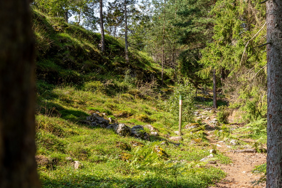
Utmed norra och östra sidan av Kaupungs slott går en klintkant. Nedanför och runt i området finns flera olika stigar som privata aktörer anordnat.
Photo: David Skoog / Länsstyrelsen i Gotlands län -
-
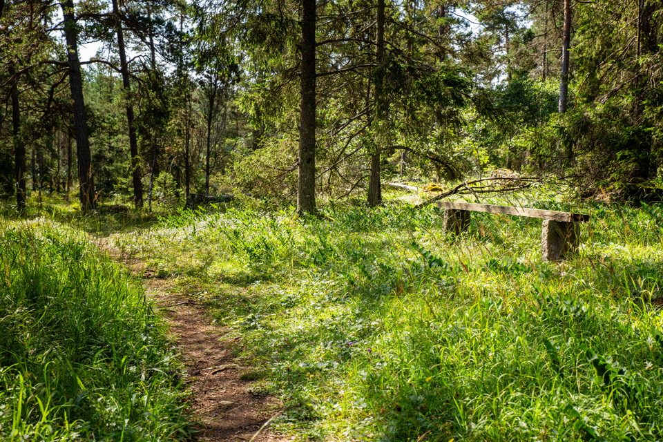
Omkring Kaupungs slott finns flera mindre vandringsleder på privat initiativ.
Photo: David Skoog / Länsstyrelsen i Gotlands län
Kaupungs slott
- Archaeological
- County: Gotlands län
- 6984.41 km away from you
Actions
Description
Activities And Facilities
- Archaeological
Directions
Car: from Visby - take road 143 towards Ljugarn. Turn off at the sign for Ardre, Katthammarsvik and then follow the sign for Ljugarns golf club. Just before the golf course on the left side there is a blue sign for the ancient castle.
From the sign, the forest road is uneven and rough, which makes access to the parking lot somewhat limited.
It is about 100 meters from the information sign to the remains. Forest paths lead you to and around the ancient castle.
It is also possible to park at the golf club and take one of the smaller hiking trails towards the ancient castle
Regulations
The land is privately owned. Please be considerate and do not leave any litter.
Contact
Email address
Länsstyrelsen i Gotlands läns naturvårdsförvaltning
Organization logotype

Please be aware that some of these texts have been automatically translated.
I’ve been here 1
I want to go here
Questions & Answers
Ask a question to other Naturkartan users.
Reviews
0 reviews
- 5 :
- 4 :
- 3 :
- 2 :
- 1 :
Users images
No user images yet. Be the first to share!
