
-
Starten
Photo: Anna Linde -
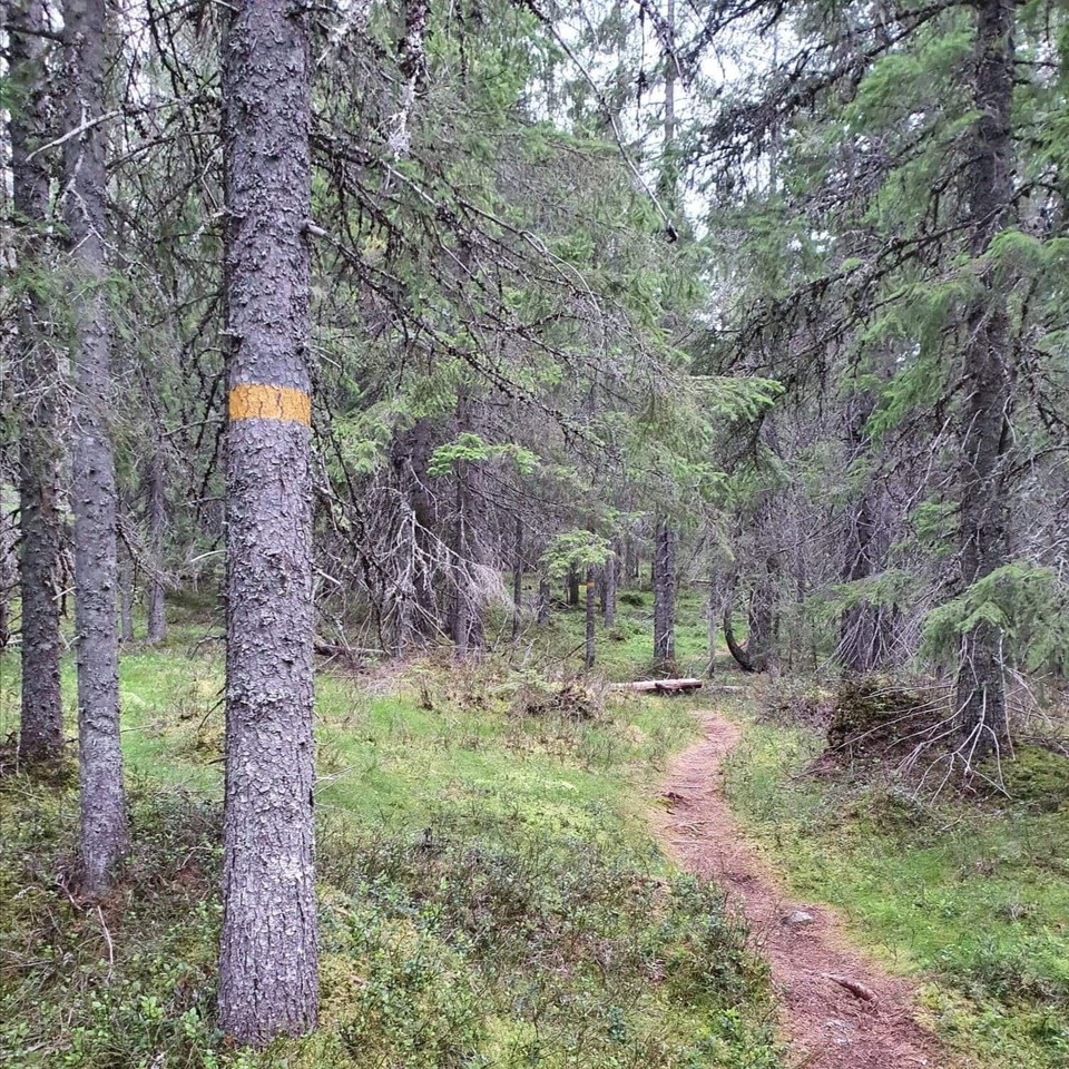
Photo: Anna Linde -
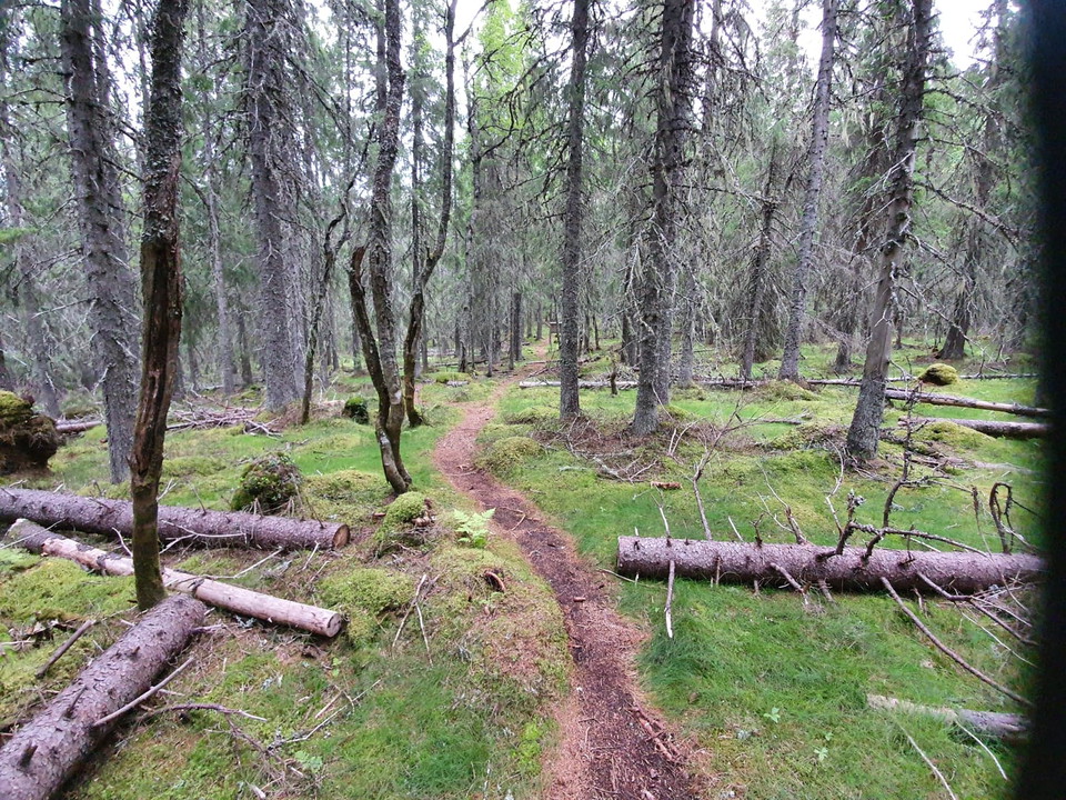
Photo: Anna Linde -
Photo: Anna Linde -
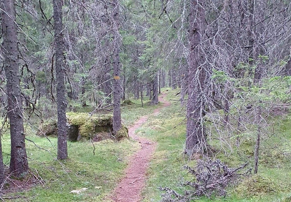
Photo: Anna Linde -
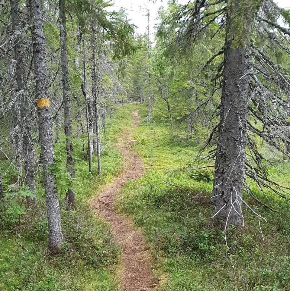
Photo: Anna Linde -
-
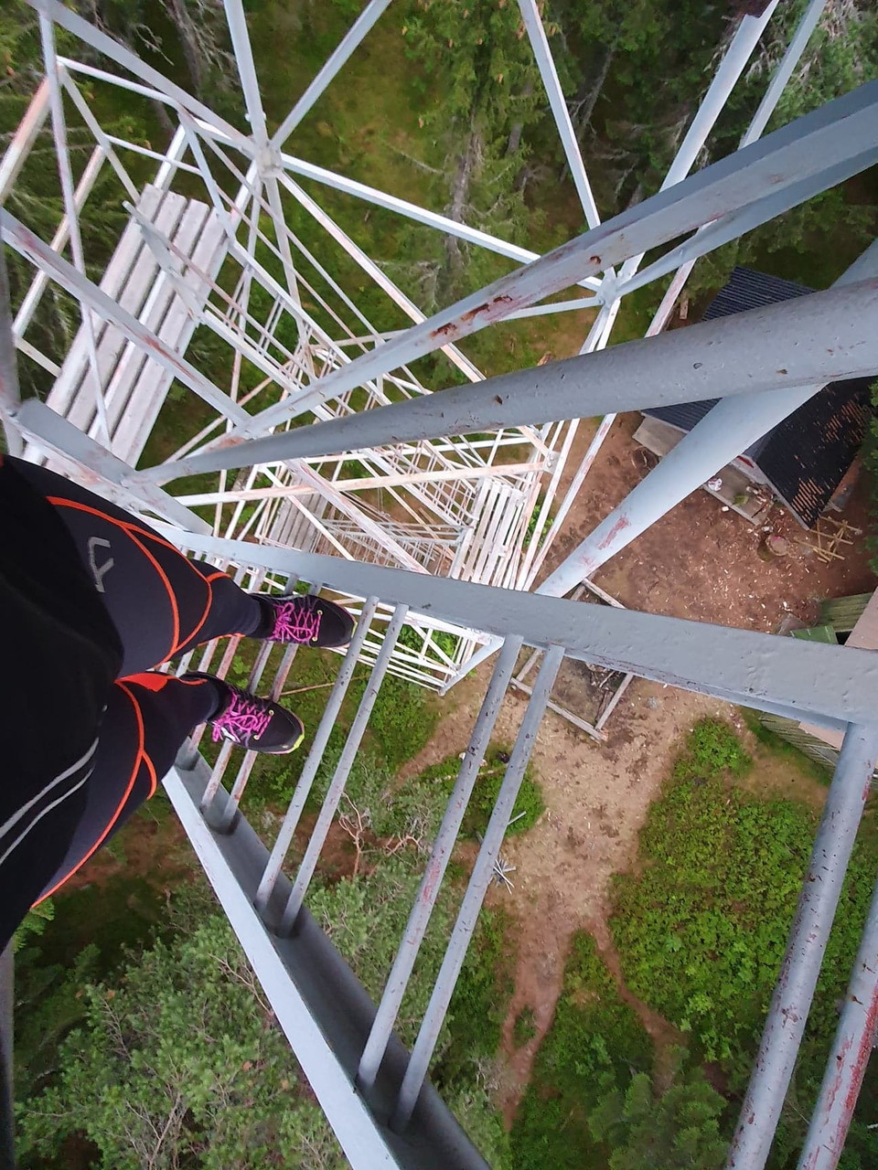
Photo: Anna Linde -
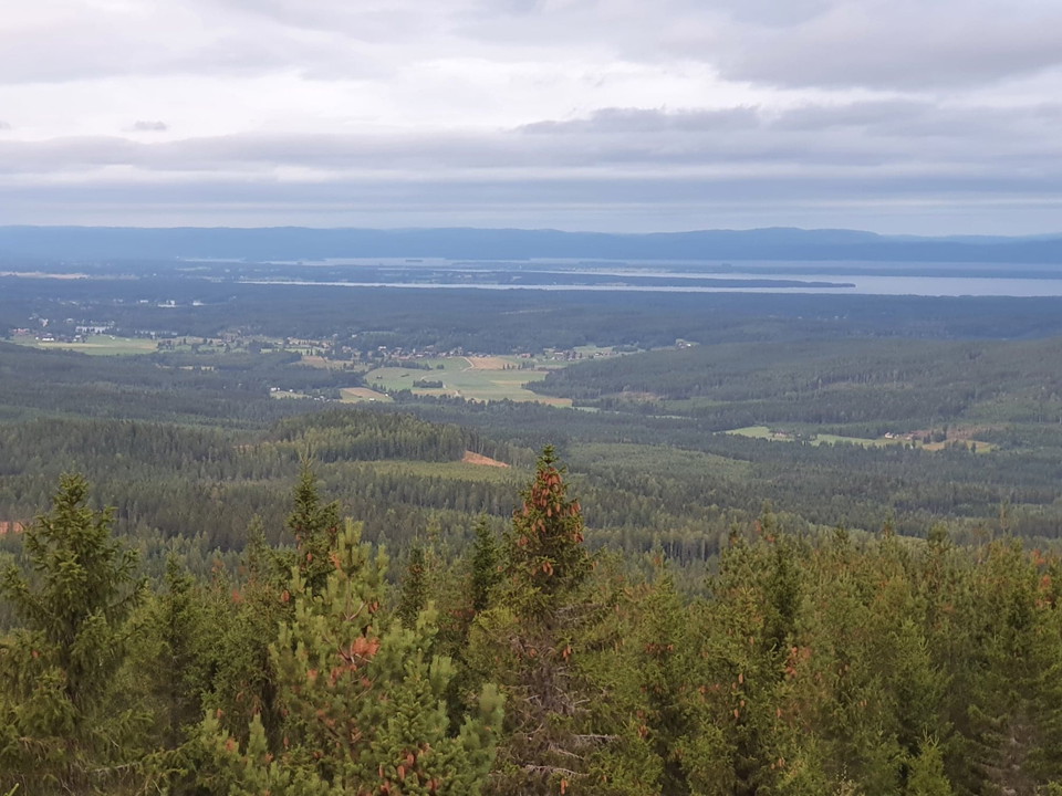
Photo: Anna Linde -
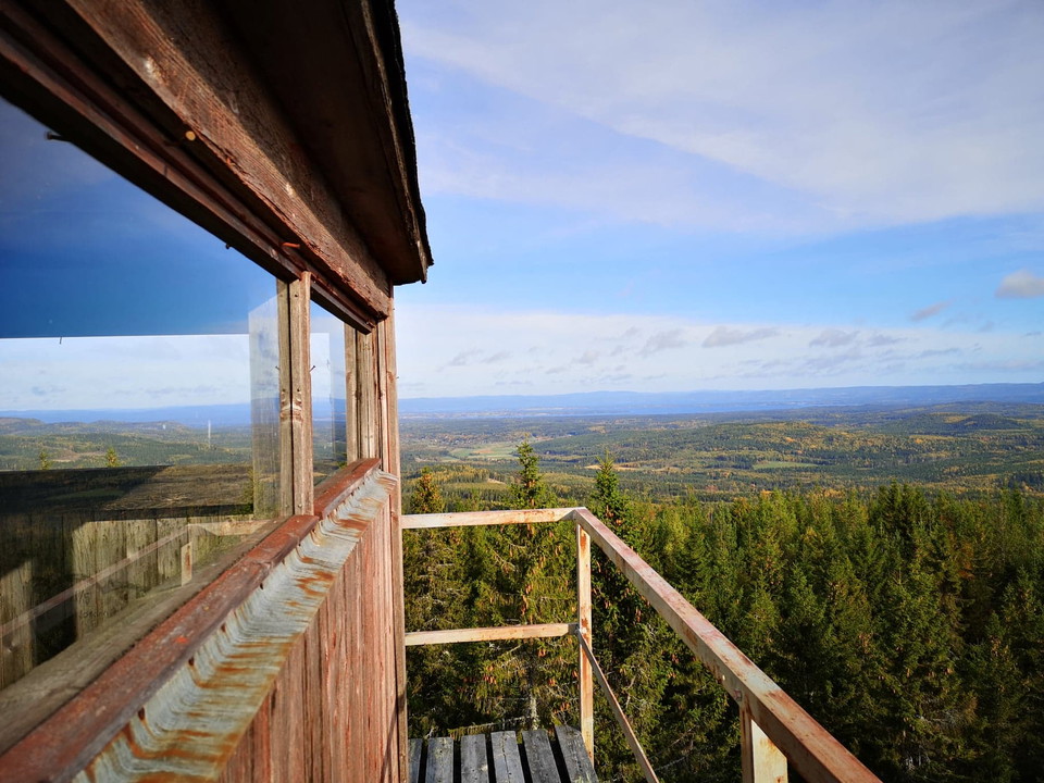
Öråstornet -
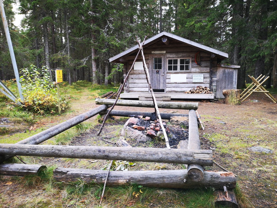
Raststuga och grillplats
Till Öråstornet genom naturreservatet
- Hiking
- Quiet places
- Trail running
- County: Gävleborgs län
- 6639.47 km away from you
Trail details
- Length 1.0 km
- Difficulty Green - simple
Actions
Description
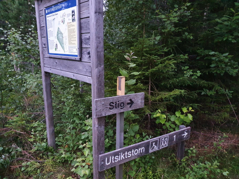
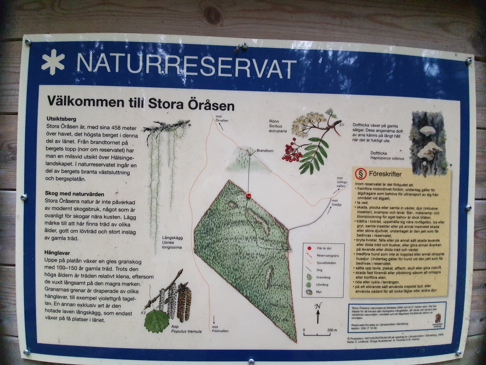
Hike through Stora Öråsens Nature Reserve to Öråstornet. The trail is marked with yellow/orange color and goes from the parking lot at the top of the nature reserve and ends at Öråstornet.
Activities And Facilities
- Quiet places
- Hiking
- Trail running
Contact
Email address
Åsa Eriksson
Please be aware that some of these texts have been automatically translated.
I’ve been here 7



I want to go here 8

Questions & Answers
Ask a question to other Naturkartan users.
Reviews
0 reviews
- 5 :
- 4 :
- 3 :
- 2 :
- 1 :
Users images
No user images yet. Be the first to share!
