
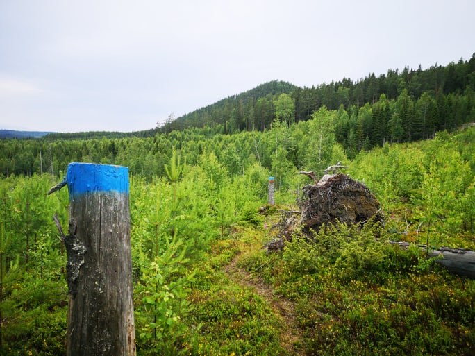
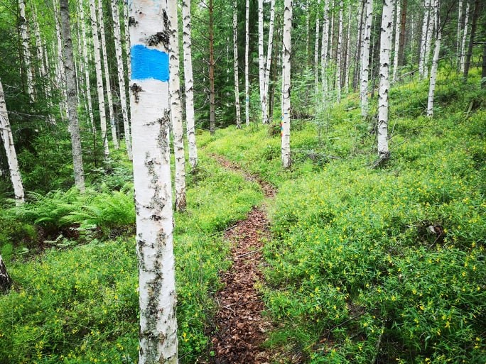
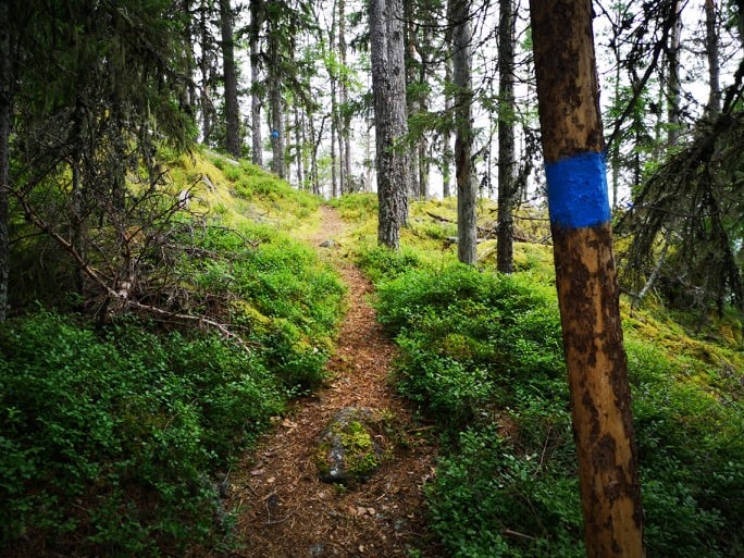
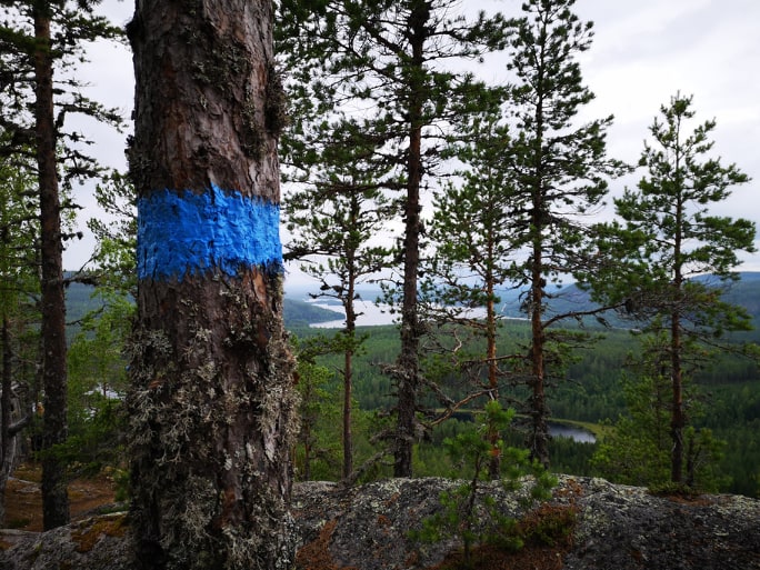
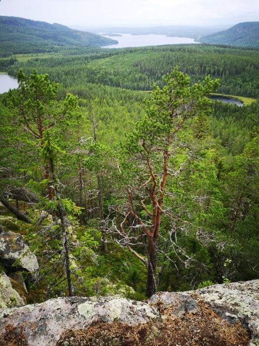
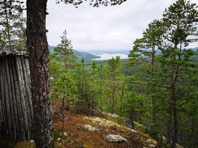
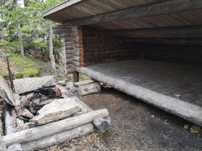
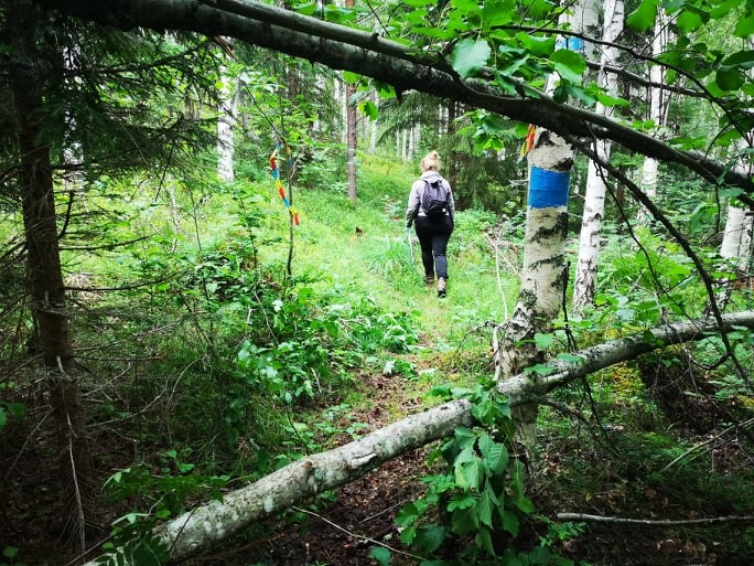
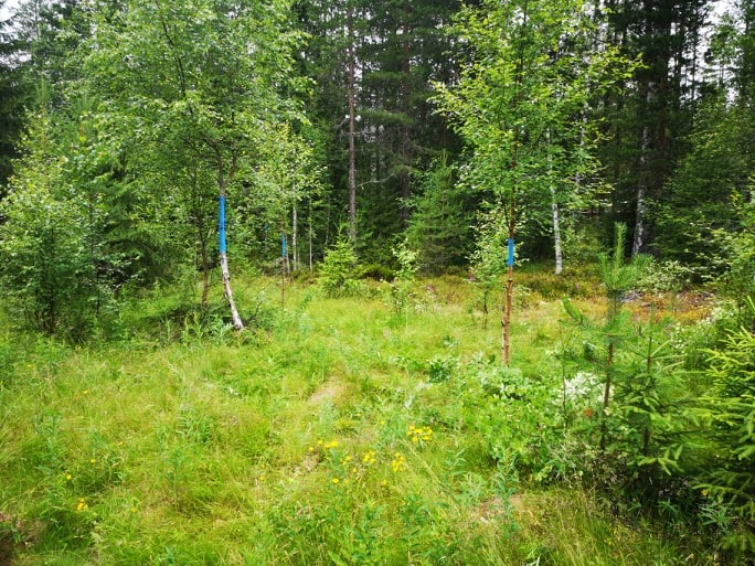
Järnvallsklinten, södra stigen upp.
- Hiking
- Walking
- Trail running
- County: Gävleborgs län
- 6620.99 km away from you
Trail details
- Length 1.5 km
- Difficulty Red — demanding
Actions
Description
Activities And Facilities
- Walking
- Hiking
- Trail running
Facts
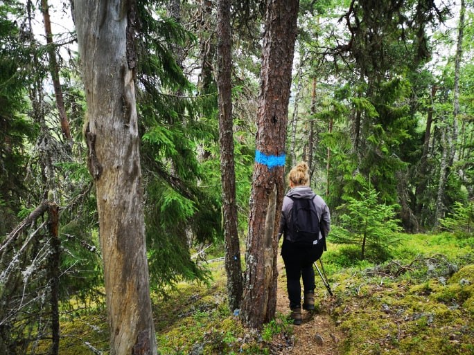
Blue marking
Hills
Kraftig stigning närmare toppen.
Vegetation
Mixed forest, older trees on the slope. Many mosses and lichens.
Parking
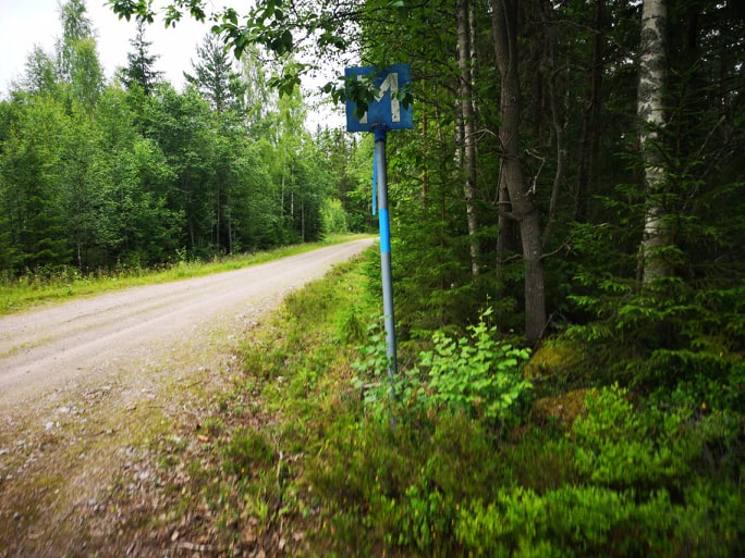
Park at the meeting point.
Directions
RV 84 to Långbacka, turn north towards Trollsvallen. Continue on the gravel road past Trollsvallen, at a meeting point where it is painted with blue color starts the trail.
Contact
Email address
Åsa Eriksson
Please be aware that some of these texts have been automatically translated.
I’ve been here 5




I want to go here 11


Reviews
5.0
4 reviews
- 5 :
- 4 :
- 3 :
- 2 :
- 1 :
Questions & Answers
Ask a question to other Naturkartan users.
Users images
Share your photos of the place!

stormfälld skog blockerar vägen sista biten.