• Röda spåret
    Röda spåret
  • Blå spåret
    Blå spåret
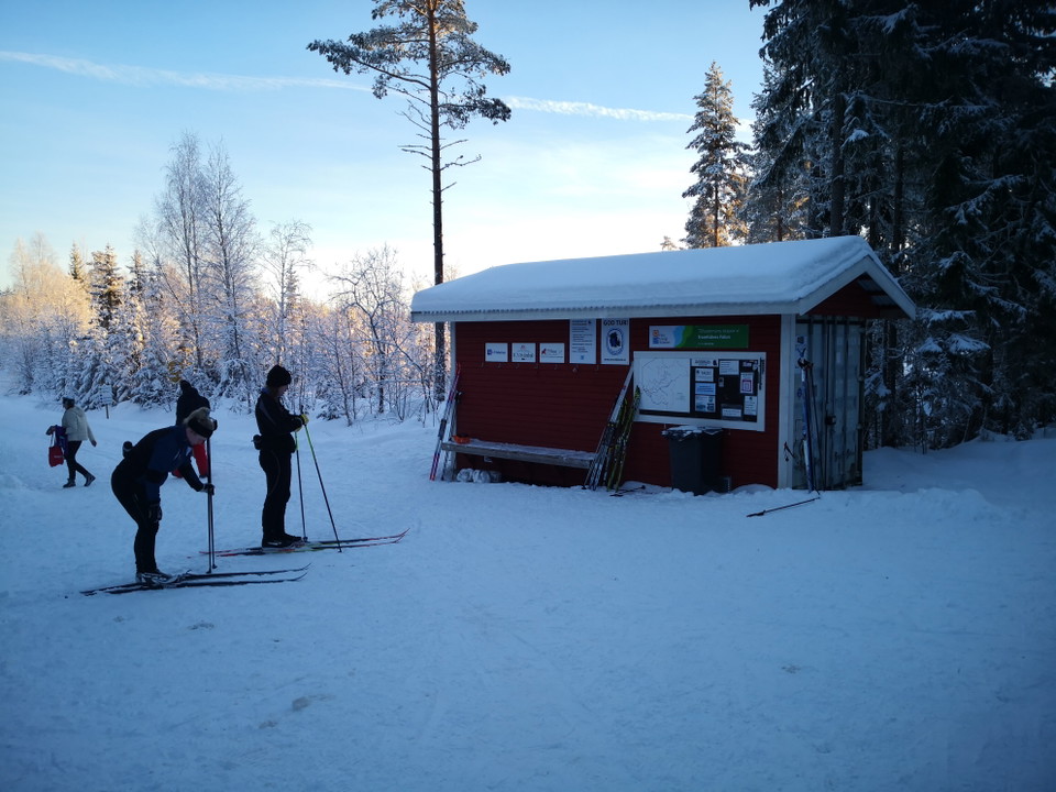
  • Vid spårcentralen startar alla spår.
    Vid spårcentralen startar alla spår.

Vintjärn skidspår

  • Skiing
of 5 stars

Trail details

  • Length 71.4 km

Actions

  • Directions

Description

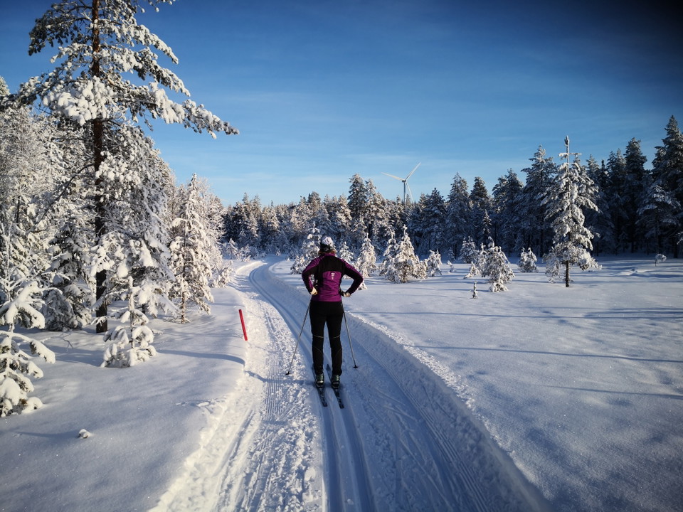
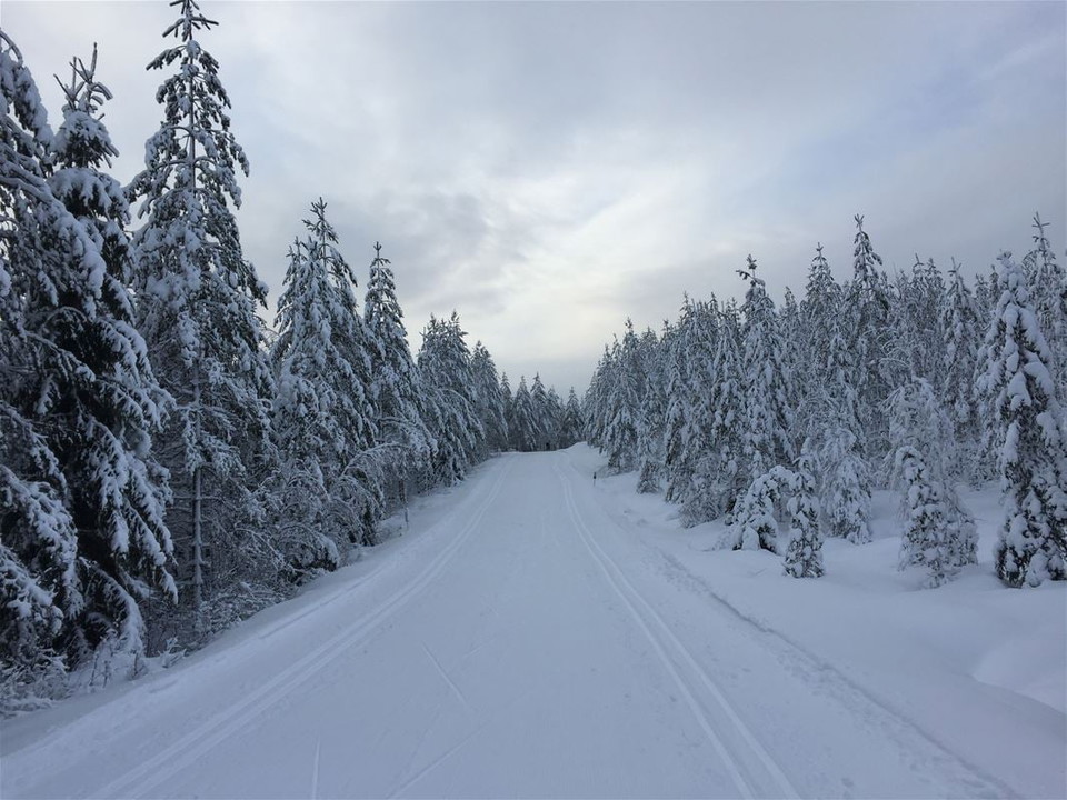
Vintjärn is located at a high altitude and is a very snow-sure area. The ski trails run along moderately hilly, winding forest roads and in the terrain of forest and marsh.

The Green trail is 1 km. It runs in light forest terrain and on marsh for the youngest. There is a barbecue area at the start.

The Blue trail is 9 km. It runs along forest roads in different loops and can be shortened if you do not want to go all 9 km.

The Red trail is 14 km and runs beautifully in the terrain, largely on marshes. Moderate hills. There is a possibility to shortcut to the blue trail after 3 and 6 km.

Keep in mind that the trails are affected by weather and wind, so please check the conditions and trail status before you go skiing.

The trails are managed by Svärdsjö ski and orienteering club.

Weather forecast (at 12:00)

Loading…

Get here by public transport

Activities And Facilities

  • Skiing

Contact

Email address

Kontaktcenter Falu kommun

Please be aware that some of these texts have been automatically translated.

I’ve been here

I want to go here

Reviews

—

0 reviews

of 5 stars

5 :
0.0%
4 :
0.0%
3 :
0.0%
2 :
0.0%
1 :
0.0%

Questions & Answers

Ask a question to other Naturkartan users.

Users images

Share your photos of the place!

Naturkartan

Open this in the app