
-
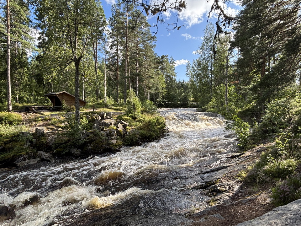
Vy över Skräddartorpsfallet med vindskydd -
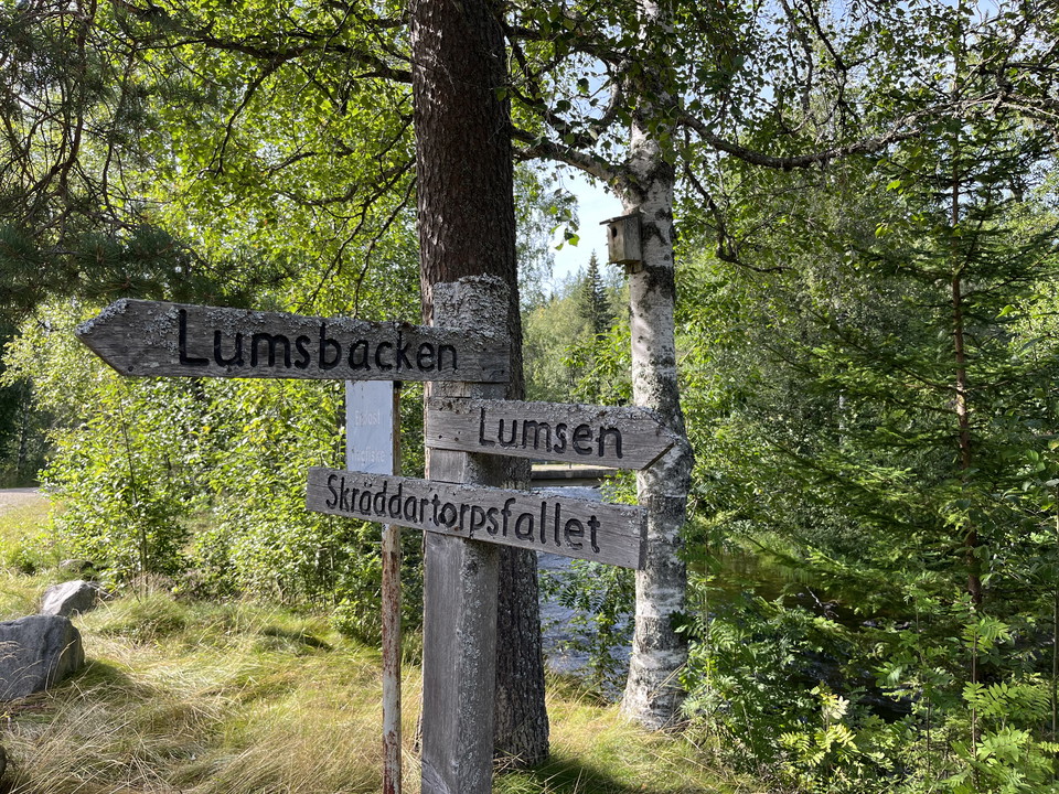
Ledskylt Skräddartorp -
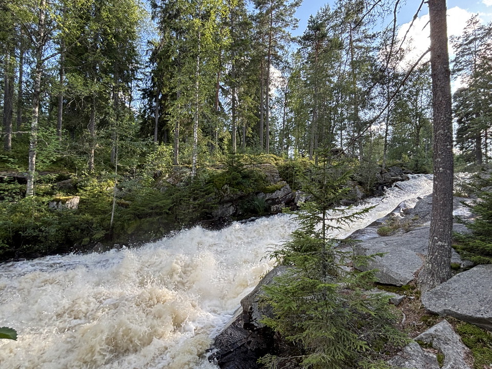
Vy över Skräddartorpsfallet -
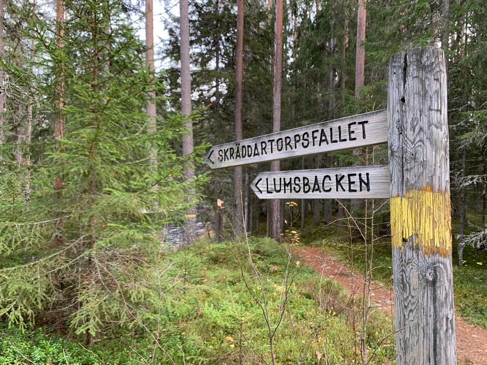
Ledskylt Lumsen -
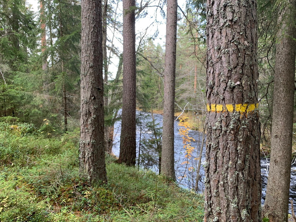
Ledmarkering (Gul) Lumsen -
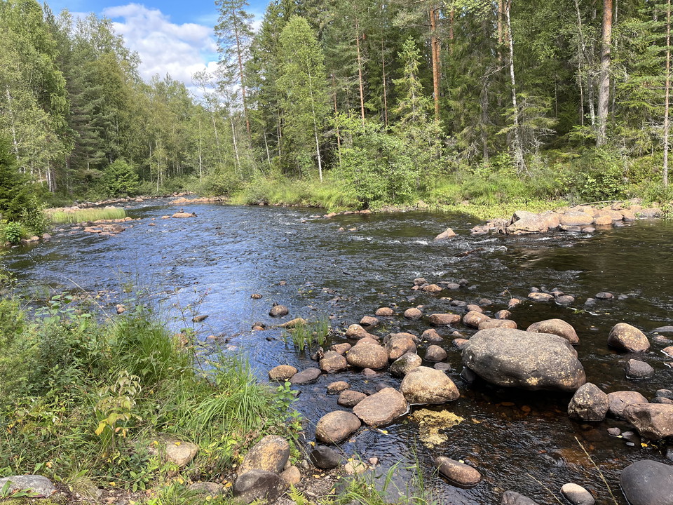
Lumsen -
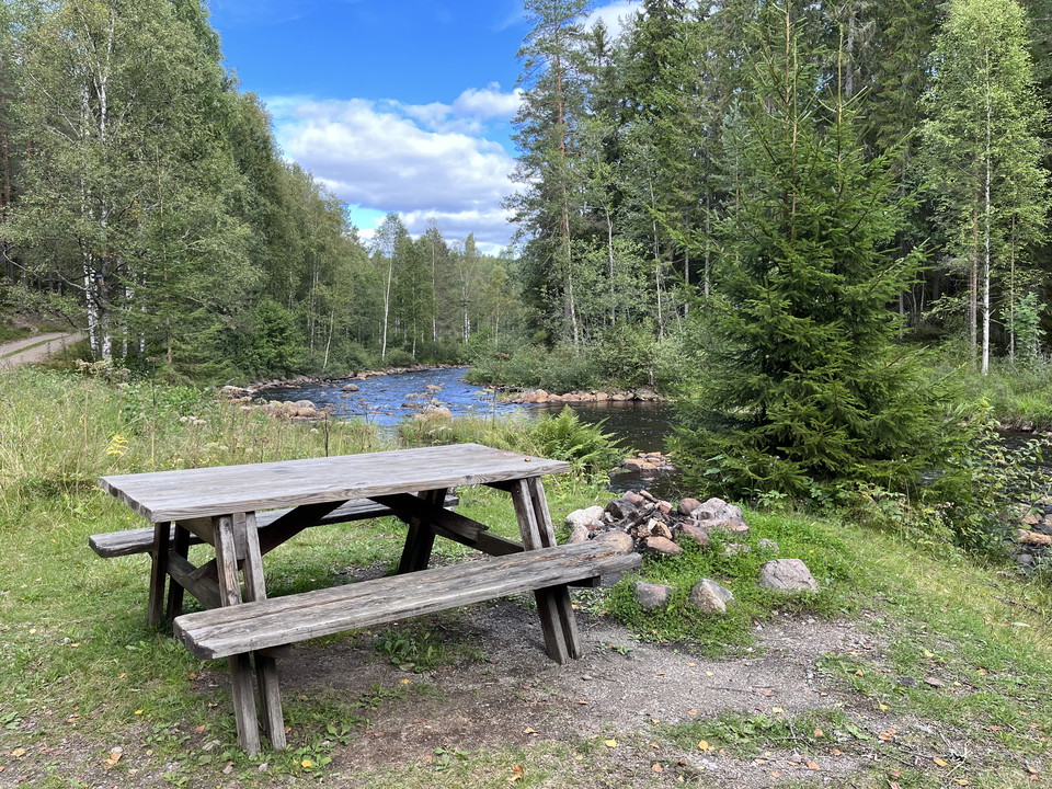
Rastplats intill Lumsen -
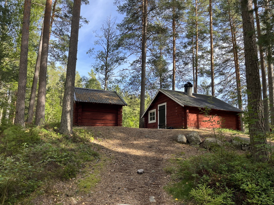
Lumsenkojan
Skräddartorpsfallet - Lumsen
- Hiking
- Near parking
- Green = Low risk of congestion
- County: Dalarnas län
- 6667.30 km away from you
Trail details
- Length 4.2 km
- Difficulty Blue - medium
Actions
Currently
The bridge at Lumsenkojan has been dismantled and removed due to the risk of collapse. A new bridge is planned, but there is no timetable at present.
This means that it is NOT possible to cross Skräddartorpsån in connection with Lumsenkojan until further notice. Thus, it is also not possible to walk the loop around but you have to walk the same way back alt. that you walk along the gravel road towards Nyfors back.
Description
Hike along the Skräddartorp river.
The trail passes two fine waterfalls and in between fine seals. In the environment by the river there are also clear cultural memories of timber rafting.
You can start your hike at Skräddartorpsfallet or Lumsenkojan where parking is available.
If you want to walk a round loop, you can turn around Skräddartorpsån at Skräddartorp or Lumsenkojan where bridges are available and walk along the gravel road or trail back. The length of the trail is a single path of approx. 2.2 km and the circular loop approx. 4.2 km.
Along the trail there are nice opportunities for rest and if you want to rest at a shelter or rest table, we recommend that you rest at the Skräddartorp waterfall or Lumsenkojan.
Activities And Facilities
- Hiking
- Green = Low risk of congestion
Accessibility
- Near parking
Surface
Path, occasionally rocky, steep and in some seasons wet.
Hills
The trail follows Skräddartorpsån and is occasionally steep.
Vegetation
Forest environment with wetter parts.
Parking
The best place to park is at Skräddartorpsfallet or Lumsenkojan.
Directions
Address: Skräddartorpsfallet, Norra Skräddartorp, 77190 Ludvika or Lumsenkojan, Gamla Skräddartorpsvägen, Lumsen, 77190 Ludvika
Contact
Email address
Siw Östlund
Organization logotype

Please be aware that some of these texts have been automatically translated.
I’ve been here 6




I want to go here 23




Questions & Answers
Ask a question to other Naturkartan users.
Reviews
1 review
- 5 :
- 4 :
- 3 :
- 2 :
- 1 :
Users images
No user images yet. Be the first to share!

Gick slingan nu i kväll, upplevelsen var över förväntan. Stigen var smal och det låg en del nedfallna träd ivägen. Många fina utblickar över ån. Bron var i okej skick.