
-
-
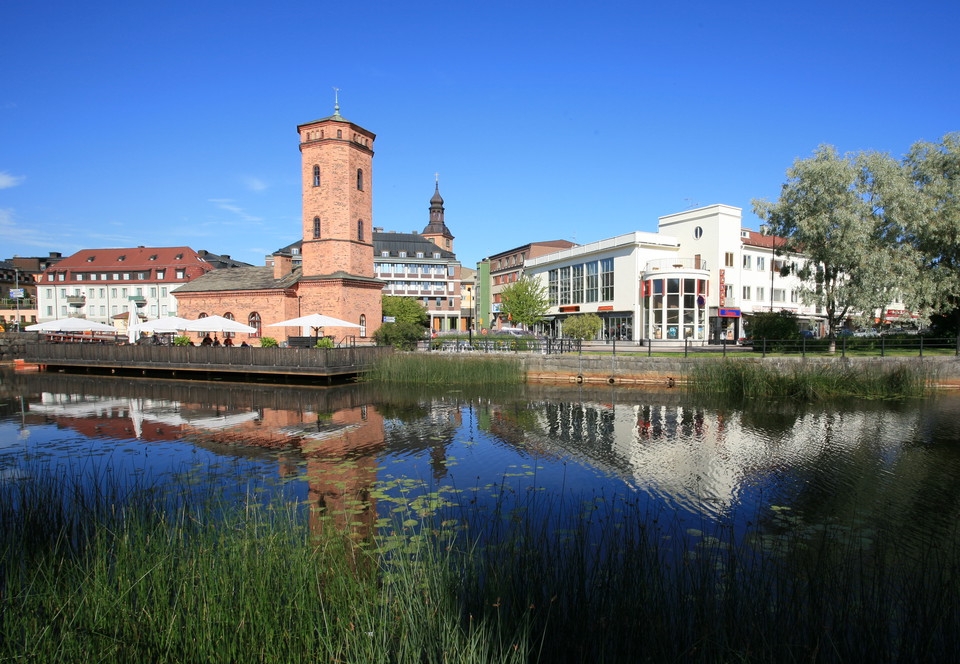
Faluns kommun
Hälsans stig - Falun
- Hiking
- Near parking
- Near Public Transport
- Near toilet
- County: Dalarnas län
- 6646.24 km away from you
Trail details
- Length 9.4 km
Actions
Description
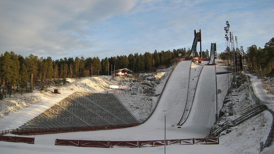
Östanforsslingan is 4 km long and there is much to see along the way On Blindgatan, the artist Carl Larsson's town house and etching cottage are next to each other. At the Stenvalvsbron bridge, the old highway that went to northern Dalarna and to Röros in Norway began. Tiskenslingan is no worse and offers a nice walk along the lake and at Kvarnberget a skipping hill was built as early as 1907 with stands for 200 people and a few years later the famous Kopparvallen.
Activities And Facilities
- Hiking
Accessibility
- Near parking
- Near Public Transport
- Near toilet
Contact
Address
Det är kommunen som skapar och sköter om Hälsans stig. Men det är Riksförbundet HjärtLung som står bakom konceptet. Mer information, besök hjart-lung.se
Email address
Riksförbundet HjärtLung
Organization logotype
Please be aware that some of these texts have been automatically translated.
I’ve been here 17


I want to go here 18





Questions & Answers
Ask a question to other Naturkartan users.
Reviews
0 reviews
- 5 :
- 4 :
- 3 :
- 2 :
- 1 :
Users images
No user images yet. Be the first to share!
