
Bysjörundan
- Hiking
- Biking
- Guide: Borlänge kommun
- 6639.57 km away from you
Trail details
- Length 11.3 km
Actions
Currently
Sjöberget has been hit hard by the storm Johannes and in the northern part of the reserve it is sometimes difficult to get around and even dangerous. Do not walk in areas with leaning trees. When it is very windy, you should not be in the reserve at all. In the northern part of the reserve, there has been so much rain that not all paths will be reopened. Our goal is to have the Bysey Trail run through or along the edge of the reserve, and to have a circular trail, but it is not yet clear what the route will be.
Description
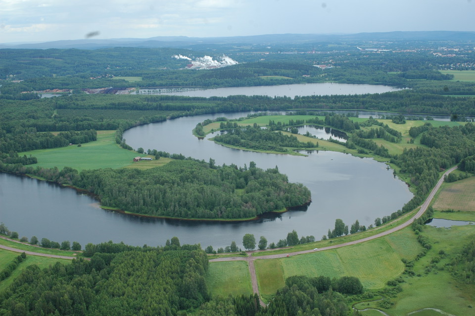
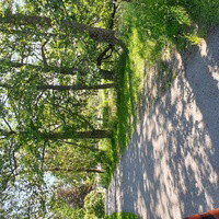
Bysjörundan is a popular, about 11 kilometers long, hiking and biking trail in northern Borlänge that passes Kvarnsveden and Sör Amsberg. At Tägten's wood yard, the hiking trail and the bike trail separate. Hikers walk through the Sjöberget nature reserve while cyclists follow the cycle path through Övermora.
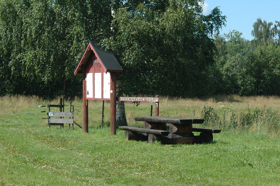
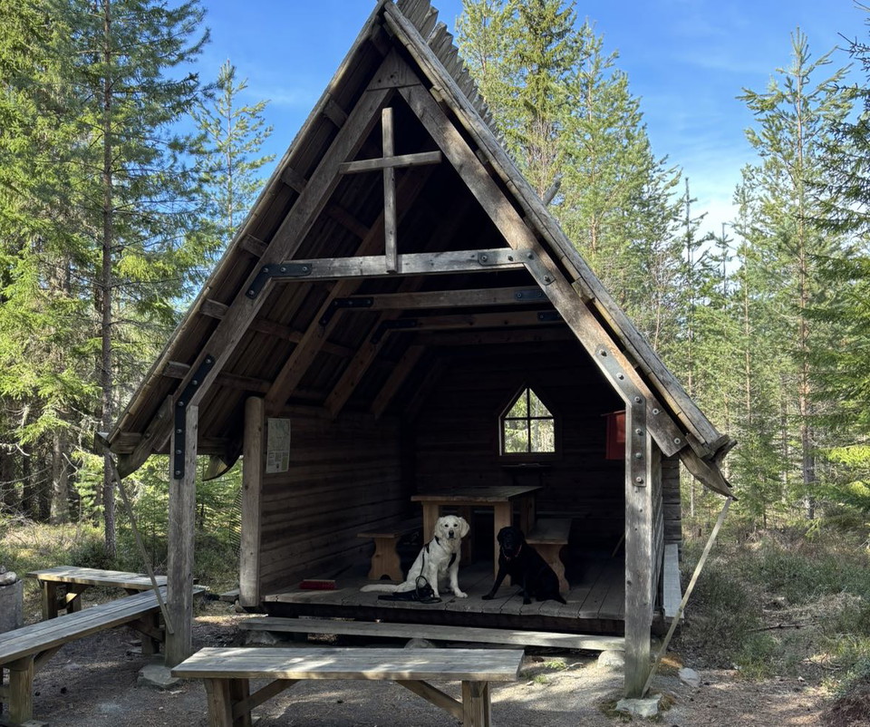
Along the trail there are 15 information boards and 4 rest areas. The trail starts at Sjöbergskasernerna, opposite Kvarnsvedens skola, and is marked with directional signs.
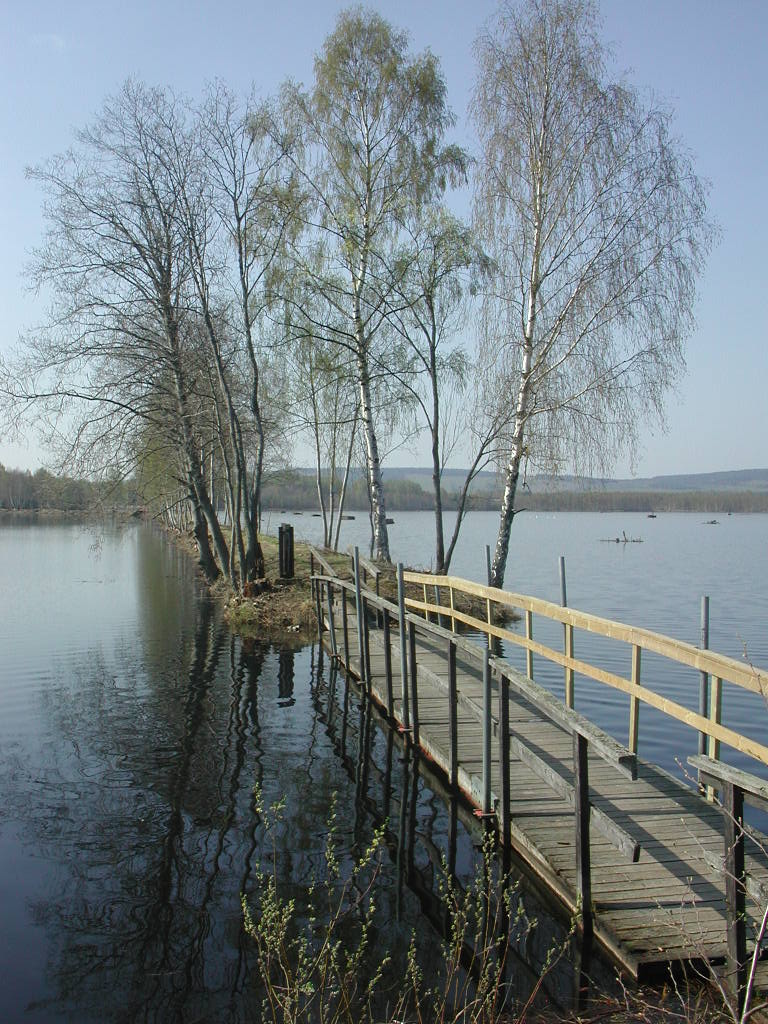
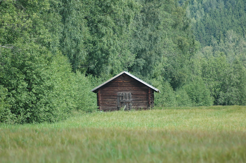
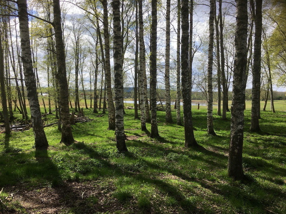
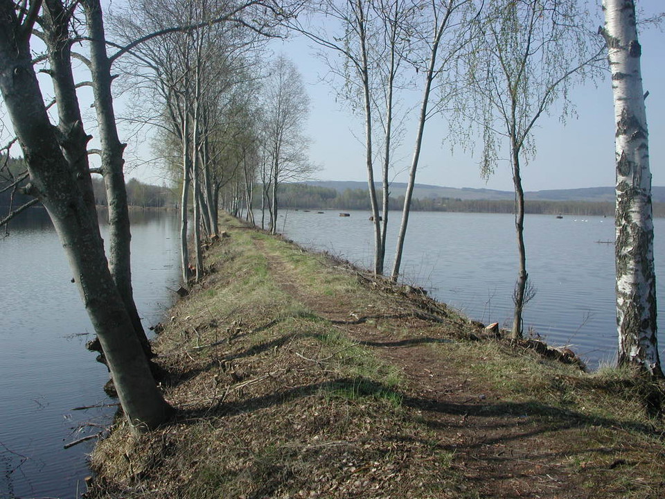
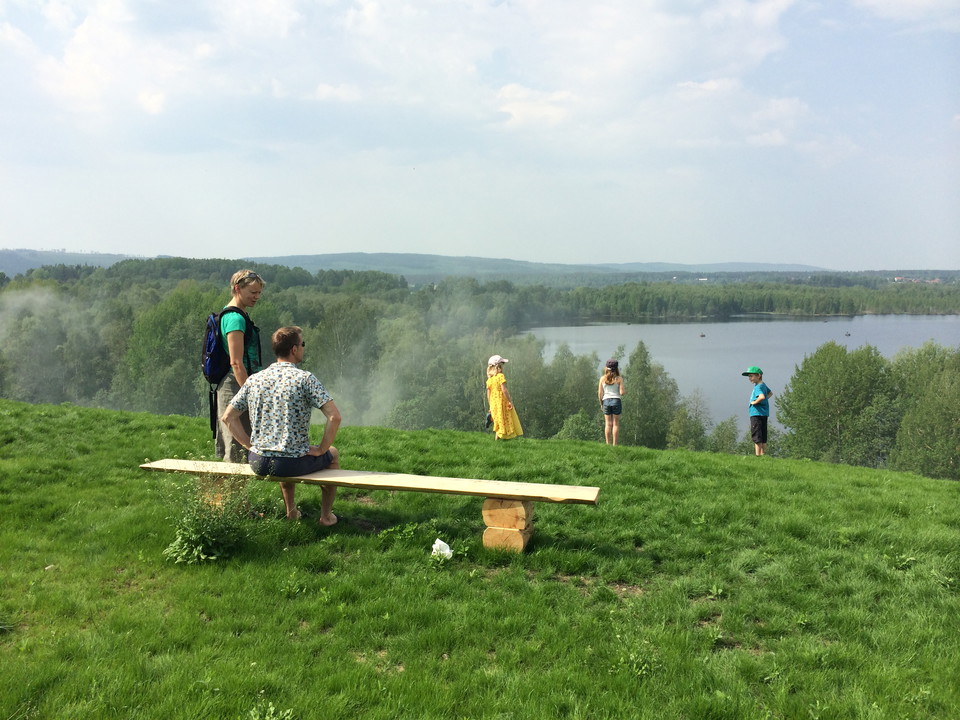
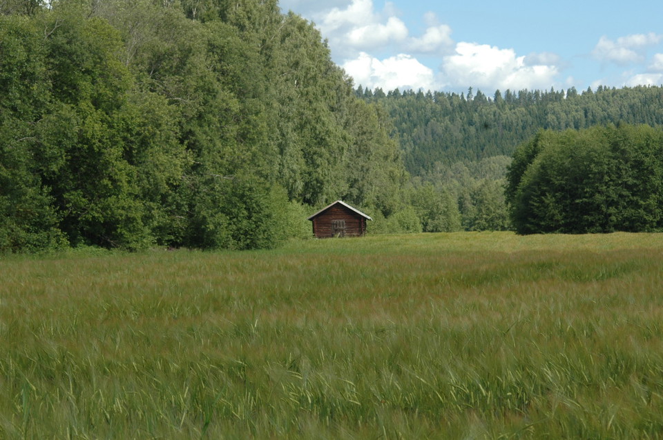
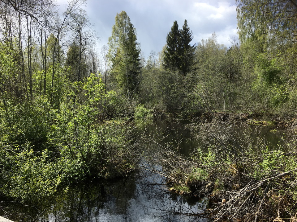
The area around Bysjön is rich in attractions, activities and memorials. There is open farmland, natural forests, streams and lakes. Bysjörundan passes several ancient monuments, older villages and historical and modern industrial environments. The municipality's highland cattle graze at the bird lake Vassjön, and around Häggenäs there are large areas of deciduous forests with a rich bird life.
Activities And Facilities
- Biking
- Hiking
Downloads
Contact
Email address
Borlänge kommun
Organization logotype

Please be aware that some of these texts have been automatically translated.
I’ve been here 53




I want to go here 74




Questions & Answers
Ask a question to other Naturkartan users.
Reviews
1 review
- 5 :
- 4 :
- 3 :
- 2 :
- 1 :
Users images
No user images yet. Be the first to share!

Trevlig tur, men sämre med markeringar i skogsavsnittet - gick fel flera gånger. Är glad för dagens teknik så att man inte går helt vilse!