
-
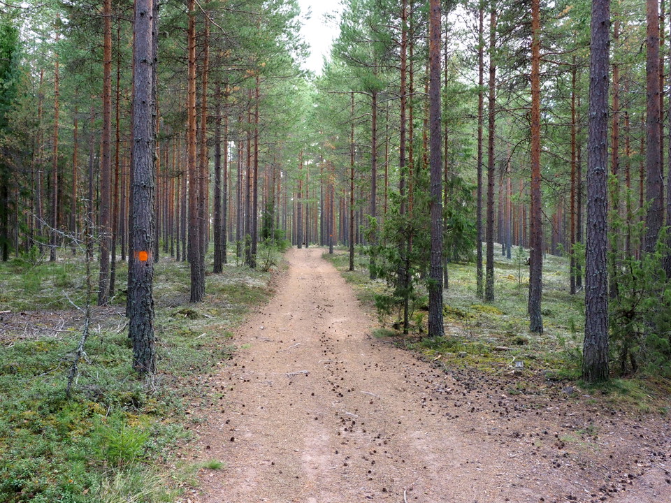
Tallhedsmark -
Stråtbäcken -
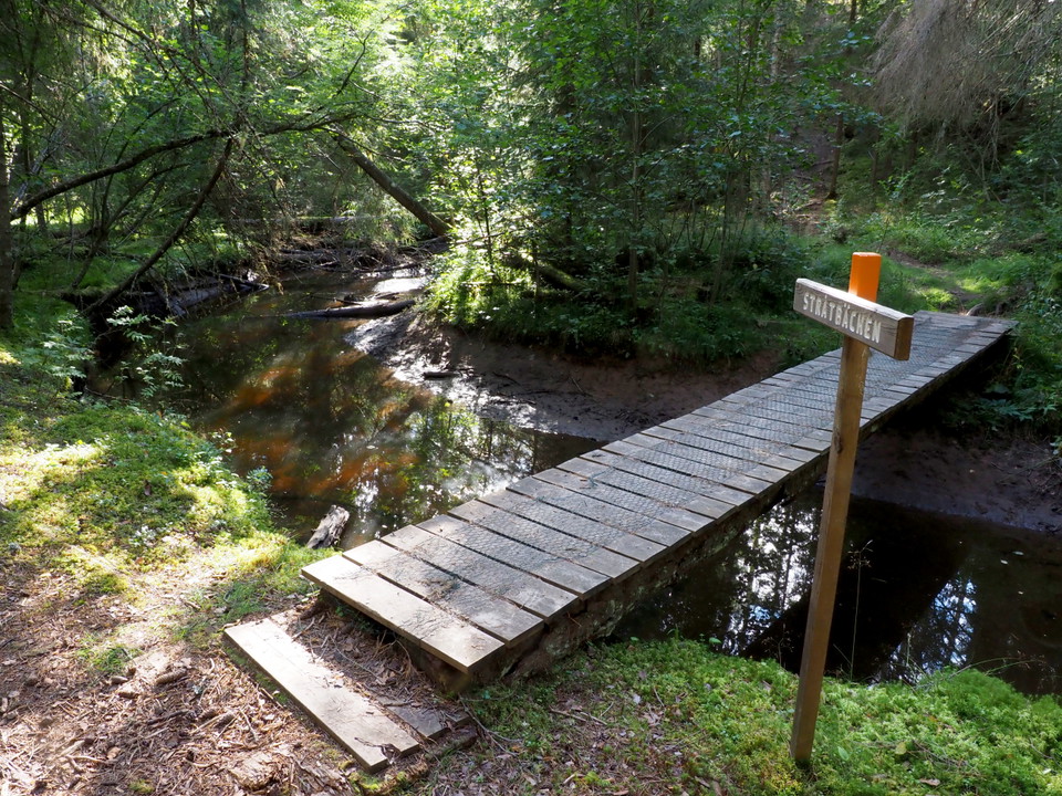
Stråtbäcken2 -
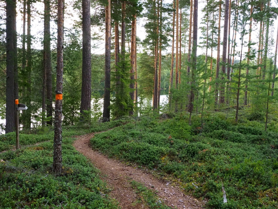
Vy över Österdalälven och bergen i väster
Ålheden, Tunsta-Ål-Kilen
- Hiking
- Near parking
- Near Public Transport
- County: Dalarnas län
- 6618.06 km away from you
Trail details
- Length 13.2 km
- Difficulty Blue - medium
Actions
Description
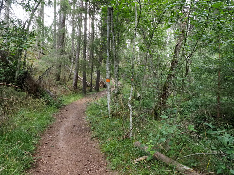
Paths and gravel roads on mainly dry pine heathland between Tunsta and Ål-Kilen. The whole round is 13.2 km but can be divided up. The northern turn Tunsta - "Genvägen" - Tunsta is 8 km and the southern turn Ål-kilen - "Genvägen" - Ål-Kilen 6.1 km. Many trails in the area also allow you to create your own alternatives. It is easy to walk on well-trodden paths with small differences in level, but when you cross Stråtbäcken it is really steep both up and down. Nice views of the river and the mountains to the west are available at several places along the way.
Activities And Facilities
- Hiking
Accessibility
- Near parking
- Near Public Transport
Contact
Address
Telefon: 0247-80000
Email address
Kundtjänst
Organization logotype

Please be aware that some of these texts have been automatically translated.
I’ve been here 9


I want to go here 25


Questions & Answers
Ask a question to other Naturkartan users.
Reviews
0 reviews
- 5 :
- 4 :
- 3 :
- 2 :
- 1 :
Users images
No user images yet. Be the first to share!
