
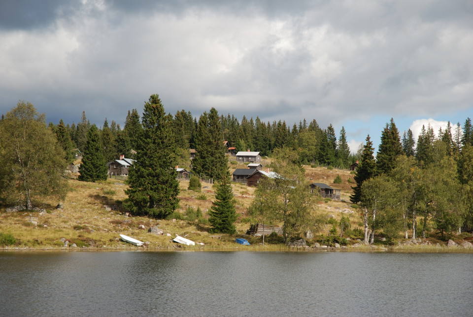
Nysjöleden (Linghed-Nysjöns fäbod)
- Hiking
- Riding
- Trail running
- Near parking
- County: Dalarnas län
- 6645.95 km away from you
Trail details
- Length 22.0 km
Actions
Description
All the farms in Linghed had their own sheds, slogs or lötar, to get enough feed for the animals. In connection with the land transfer and legal change, Linghed got Nysjön as a pasture and also bought Tänger Tovabo from Yttertänger. Livestock farming at the pastures was very active in the late 1800s and early 1900s. All the shepherds walked with their animals to their sheepfolds at the beginning of the summer. The shepherdesses and the animals returned home at Mickelsmäss or when the grazing ran out at the barns and shepherd's huts. The walk with the animals was done along the reopened and marked paths.
The pasture path to Gillerberget was also used by the people of Svartnäs when they visited the church in Svärdsjö. The church hikers went through the village and over the bridge at Strömmen.
The paths are marked with blue paint. Various places along the trails are signposted with names in "Linghedsmål".
The Friends of Fox-Lena are responsible for the trail.
Activities And Facilities
- Hiking
- Riding
- Trail running
Accessibility
- Near parking
Communications
Take bus 235 to Linghed and get off at the store. Follow Byvägen north until it crosses Ösängesvägen. Turn right and follow Ösängesvägen to the exercise trail where the trail starts. From the shop it is about 1 kilometer.
Directions
You can start your hike at the jogging track in Linghed. When you enter the village, look for Ösängesvägen and drive north. Follow Ösängesvägen through the village and park in the parking lot where the fields end. There is a hut for a break or coffee before the hike begins.
Downloads
Contact
Email address
Kontaktcenter Falu kommun
Organization logotype

Please be aware that some of these texts have been automatically translated.
I’ve been here
I want to go here 13


Questions & Answers
Ask a question to other Naturkartan users.
Reviews
2 reviews
- 5 :
- 4 :
- 3 :
- 2 :
- 1 :
Jättetrevlig led från Linghed fram tills man kommer ut på grusvägen ca 1,5 km söder om Spjärsbodarna. Skogen på dessa 1,5 km är förstörd av hyggesplöjning på 1970-talet så välj grusvägen istället. Sedan upp till Nysjön är det grusväg som gäller. Stigen som går över Avelberget var väldigt svår att ta sig fram längs.
Users images
No user images yet. Be the first to share!
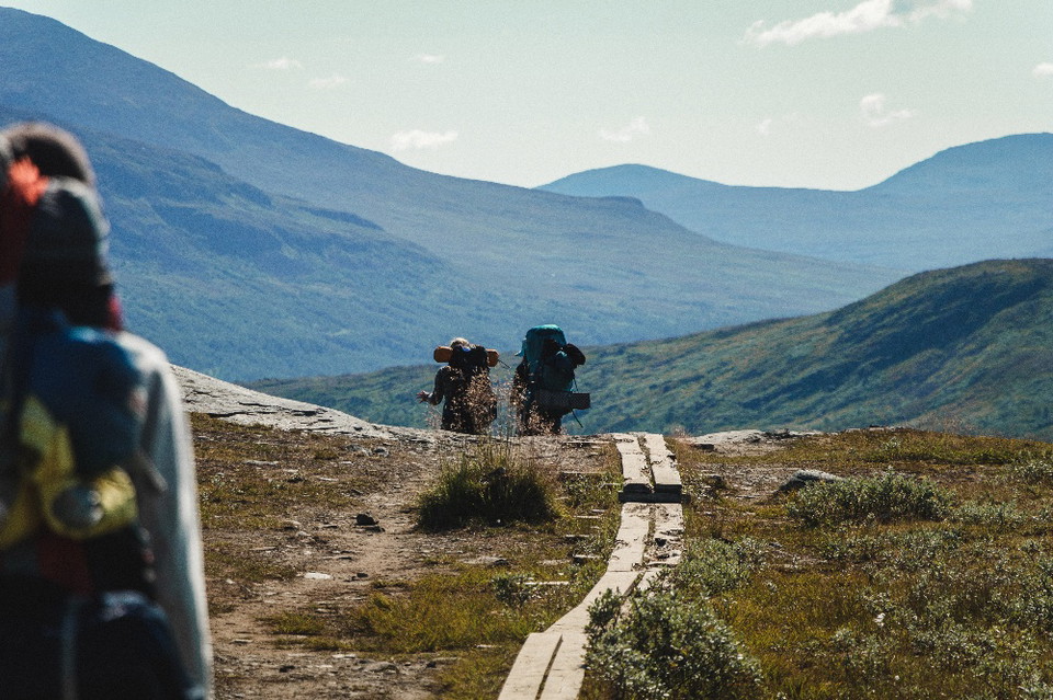

Fin natur av mestadels tallskog och sjöar. Leden är mycket bra uppmärkt men den stämmer inte alltid överens med Naturkartan. Kanske har den dragits om? Leden saknar även stig på flera sträckor och vandringen blir ganska svår i sin terräng. Tillsammans med min pappa vadade vi genom blåbärsris, sicksackade mellan stenblock och klampade över våta myrar utan spångar. Stormen Johannes hade också fält en hel del träd över stigen. Vi började vid Nysjön men fick tyvärr ge upp vid ett litet tjärn som heter Kamhav. Därifrån gick vi på grusvägen tillbaka till bilen vid Nysjön. Dock tog vi bilen till ladan/stugan vid Kurberget som var nyrenoverad och jättefin med utedass och stor grillplats. Där sov vi över natten. Fantastisk plats!