
New!

Now you can share photos on Naturkartan! 📸

Read more

Public Transport

Uppsala län

Images

Map

110 Public Transport

Public Transport

Färja Koffsan, Bryggholmen

  • Municipality: Enköping
  • 6779.89 km away from you

From Koffsan you can take the ferry over to Bryggholmen. During the summer, the tour runs at fixed times, but you can order a trip all year round. You can also park your car here. Read more about the ferry and timetables on the Bryggholmen website at the li…
Public Transport

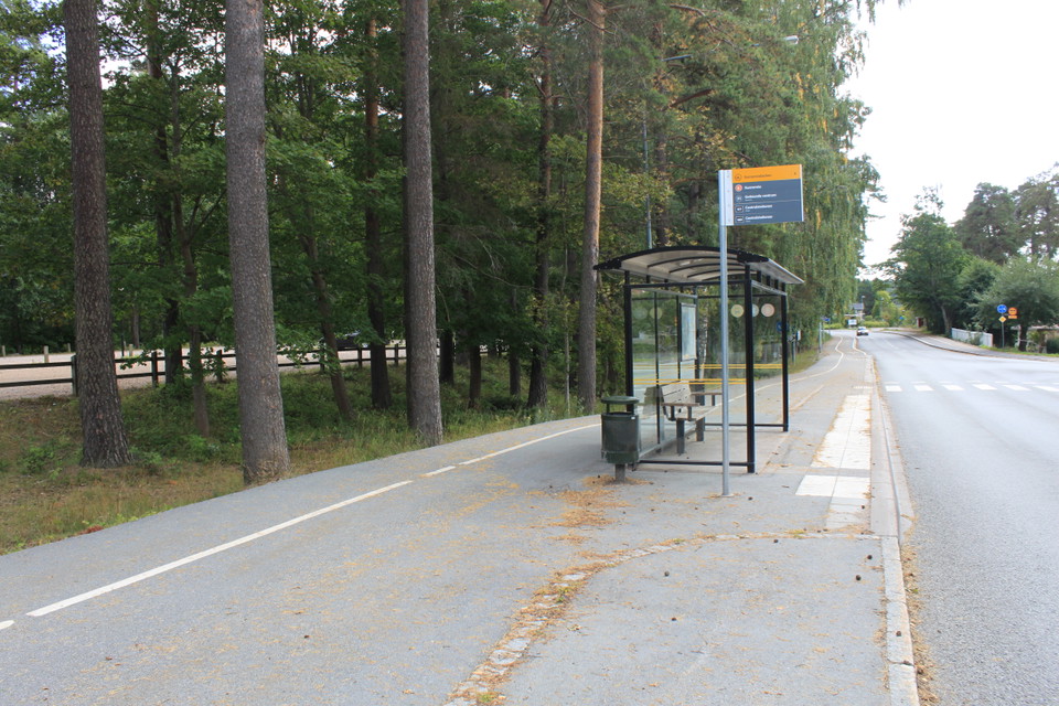
Busshållplats, Sunnerstabacken

  • Municipality: Uppsala
  • 6791.05 km away from you

Bus stop: Sunnerstabacken. Click on the link below to get to Upplands lokaltrafik.

Public Transport

Busshållplats, Kasbol

  • Municipality: Uppsala
  • 6811.50 km away from you

Name of the stop: Kasbol. The stop is located along Hallstaviksvägen. From here you can walk the Upplandsleden trail south to Björnsundet or Pansarudden nature reserve. If you walk north, you will reach the shelters and rest area at Kolarmoraån. Bus numbers…

Public Transport

Tågstation, Älvkarleby

  • Municipality: Älvkarleby
  • 6737.12 km away from you

The train station in Älvkarleby is served by Upptåget. For timetables see Upplands lokaltrafik, www.ul.se

Public Transport

Busshållplats, Storskogen

  • Municipality: Uppsala
  • 6787.39 km away from you

Name of the bus stop: Jälla. Walk the road in and round the school buildings, and you will soon reach the edge of the forest and an entrance sign on the left side of the road.

Public Transport

Busshållplats Flottsund

  • Municipality: Uppsala
  • 6791.63 km away from you

Name of the stop: Nåntuna vägskäl. Located at Flottsundbron. From the stop it is close to both Kungshamn-Morga and to Norra Lunsen. There are also several stops along road 255. From this road there are several paths towards Kungshamn-Morga and Lunsen. Timet…

Public Transport

Busshållplats, Moralund

  • Municipality: Knivsta
  • 6797.60 km away from you

Bus stop Moralund, along Upplandsledens stage 2, Nyby-Fjällnora.

Public Transport

Österbybruk busstation

  • Municipality: Östhammar
  • 6779.51 km away from you

Österybruk bus station. From here you can hike Upplandsleden stage 11 towards Aspbo and Gimo, or stage 12 towards Florarna.

Public Transport

Busshållplats Svandammen

  • Municipality: Uppsala
  • 6786.60 km away from you

Bus stop: Svandammen. For bus numbers and timetables, see UL's website.

Public Transport

Busshållplats, Andersby ängsbackar

  • Municipality: Östhammar
  • 6778.87 km away from you

Stop name: Andersby Located along road 290. From the stop, continue 300 m north along road 290 to reach the reserve entrance.

Public Transport

Busshållplats, Fullerö backar

  • Municipality: Uppsala
  • 6782.25 km away from you

Stop: Hamra. The stop is located at the entrance of the reserve.

Public Transport

Busshållplats, Kungshamn-Morga

  • Municipality: Knivsta
  • 6791.93 km away from you

Bus stop: Djupviken. Good starting point if you want to visit any of the bathing areas. You can also get off at the Morga or Dragontorpet stops further south along road 255 to get closer to other parts of the nature reserve. See the link below for bus numbe…

Public Transport

Busshållplats Hågaby, Hågdalen-Nåsten

  • Municipality: Uppsala
  • 6784.40 km away from you

Busshållplats: Hågaby Bra utgångspunkt om du vill till Kvarnbo eller Fjärilsstigen. Fortsätt längs Hågavägen så ser du skyltar till Hällens gård. Se bussnummer och tidtabell på länken nedan.

Public Transport

Tågstation, Marma

  • Municipality: Älvkarleby
  • 6740.78 km away from you

Marma train station served by Upptåget. For timetables, click on the link below.

Naturkartan

Open this in the app