Stockholms län

Foraging

Map

13 Foraging

Shelter

Lycksjövägens vindskydd

  • Municipality: Haninge
  • 6853.88 km away from you

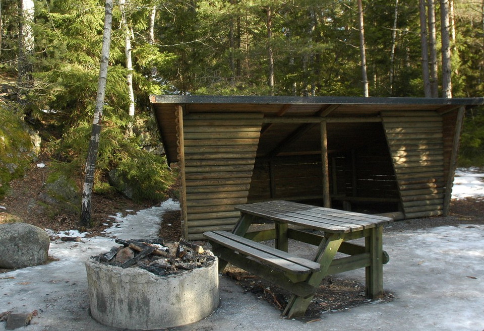
An easily accessible fire pit that is suitable for prams and wheelchairs. Located on a spruce forest slope with a wetland on the other side of the road. A small wood store is located inside the shelter. A short extra walk to the west leads past the small we…
Entrance

Grön entré Vågsjö

  • Municipality: Täby
  • 6830.81 km away from you

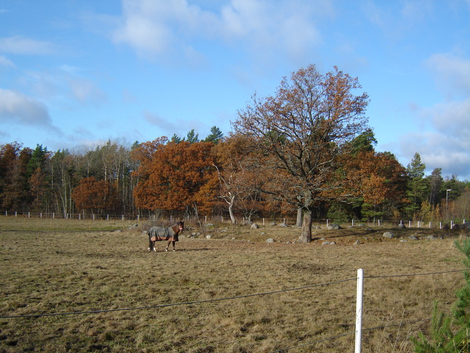
You will find an entrance in Vågsjö that describes the north-eastern parts of Täby. Here you can read about how Ullnasjön was called Ormgårdssjön before 1907 and about Skrakar and ice skating.

Entrance

Grön entré Ensta

  • Municipality: Täby
  • 6830.64 km away from you

Stolpaskogen är Täbys stadsskog. Elljusspår, promenadvägar och stigar leder dig runt i den rekreativa miljön. Här finns massor att upptäcka och plats för både lek och vila. På entrétavlan vid Ensta krog kan du få veta vad namnet Stolpaskogen kommer ifrån oc…

Foraging

Törnskogsmossen

  • Municipality: Sollentuna
  • 6823.85 km away from you

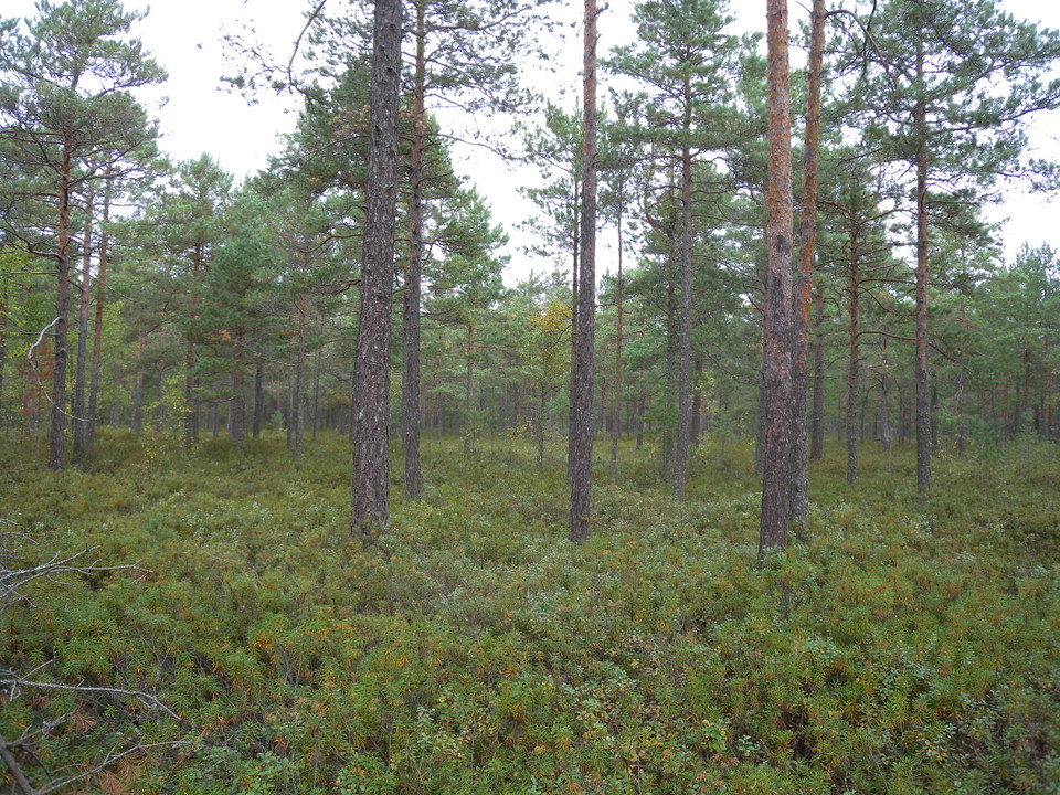
The bog is about 5 hectares in size and is surrounded by coniferous forest. Small pine trees grow on the bog, forming a sparse and open forest. The ground is covered with white mosses, but there are also water primrose, hemlock and cloudberry.

Culture

Skomakartorp

  • Municipality: Nacka
  • 6849.74 km away from you

Utan torpen och jordbruket där hade den här trakten kanske varit täckt av en jämn skog. Nu är den i stället ett lapptäcke av skogsområden, hagar och annan öppen mark. I kanterna finns ståtliga lövträd och buskage. Där trivs fåglar som törnskata och steglits…

Culture

Lilla Högmora

  • Municipality: Nacka
  • 6849.24 km away from you

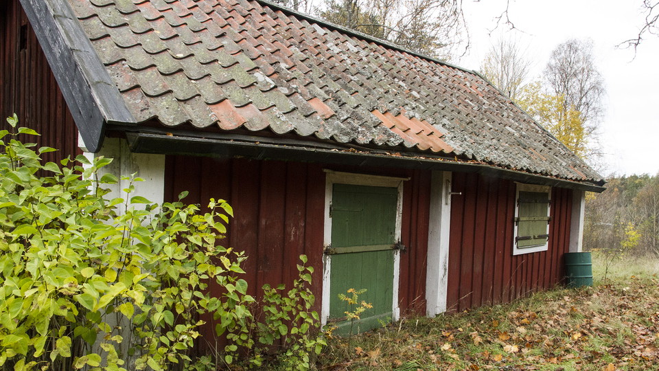
Från början hette platsen Oxmora. Via Hogsmora blev det dagens Högmora. Man vet att det fanns en häst, sex kor och fyra får vid torpet i början av 1800-talet. Torparen Nils Hornberg bodde här i nästan 40 år. Han kunde kosta på sig att ha egna pigor och drän…

Information

Erstavik: Entré Snörom

  • Municipality: Nacka
  • 6845.13 km away from you

The Snörom entrance is a good starting point for a tour of Erstavik nature from Ältavägen. Next to the old croft, there are information boards about Erstavik and parking for a few cars. This is the start of the White Trail, which takes you up the slope abov…

Valuable nature

Gävsjö gransumpskog

  • Municipality: Vallentuna
  • 6830.04 km away from you

In the rich and varied Gävsjöskogen forest east of Vallentuna town there is a spruce swamp forest. This biotope (plant and animal environment) is characterized by large old spruces, alder with root bases and water mirrors. It is an environment for imaginati…

Valuable nature

The great pine

  • Municipality: Vaxholm
  • 6839.11 km away from you

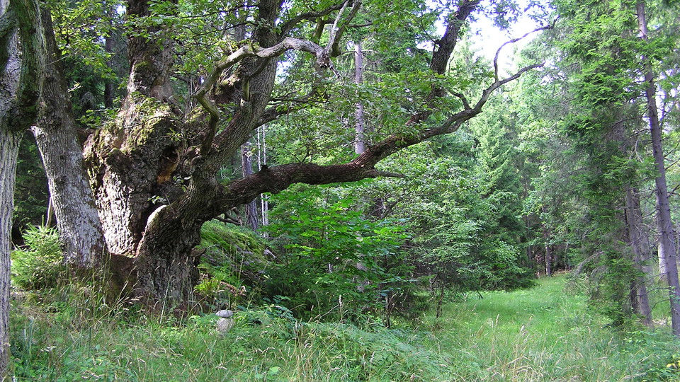
The Stortallsrundan trail loop ("the trail of the great pine") leads you through pine and spruce forests. During the autumn, you'll see ferns, golden chanterelles and the bright-red caps of fly agaric mushrooms here. The trail's namesake, a gigantic 350-yea…

Running

Friluftsområde Killingen

  • Municipality: Vaxholm
  • 6843.98 km away from you

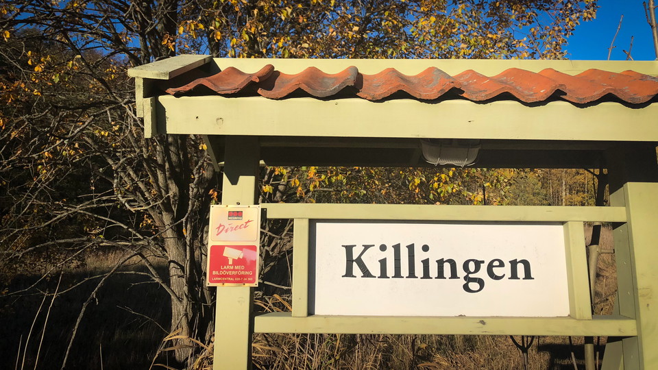
Killingen består av ett ca. 100 hektar stort barrskogsområde på västra Resarö och utgörs av ett mosaikartat landskap med blandade skogstyper och topografi. Området används för idrottslektioner, motionering, bär- och svampplockning samt hundrastning. Det fin…

Entrance

Grön entré, Trastsjöskogen - Kolgärdet

  • Municipality: Österåker
  • 6842.75 km away from you

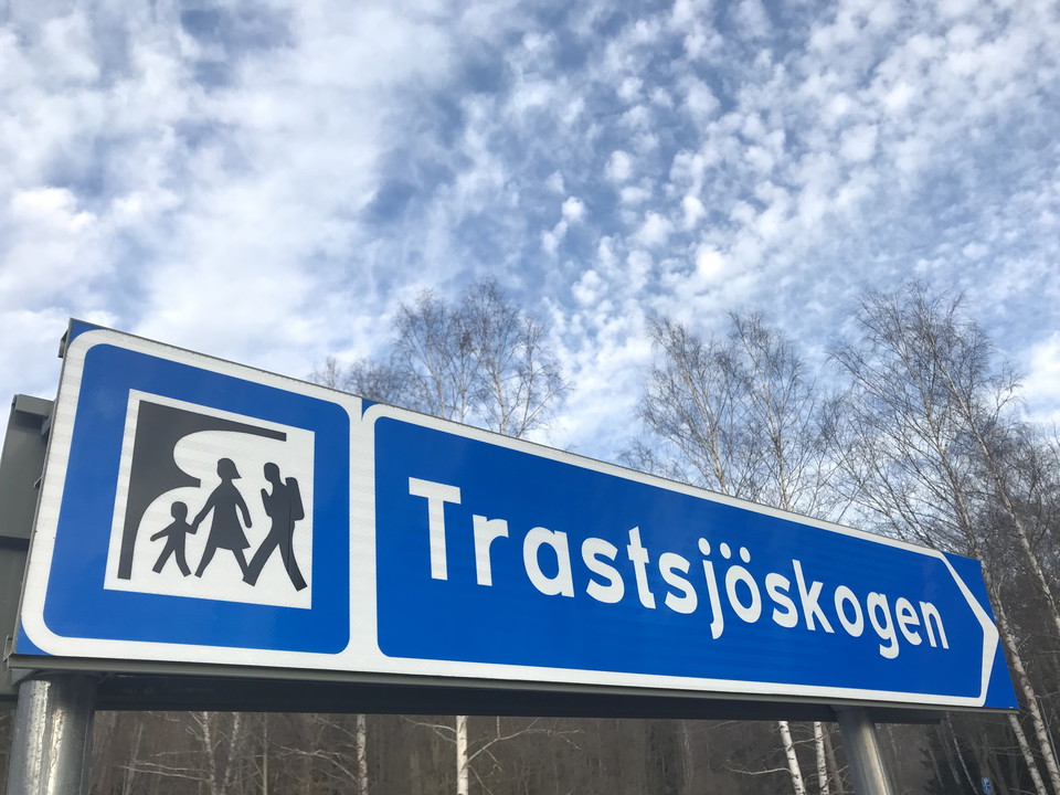
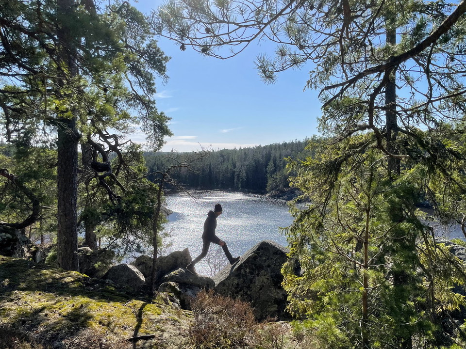
In Åkersberga in Österåker municipality you will find Trastsjöskogen, a nature area close to the city center with many varied marked trails and paths. Here you'll find magical spruce forests, hiking-friendly pine forests and bright deciduous forests. In Tra…

Naturkartan

Open this in the app