
Mine

Örebro län

Images

Map

5 Mine

Mine

Hagabergsgruvorna

  • Municipality: Lekeberg
  • 6677.47 km away from you

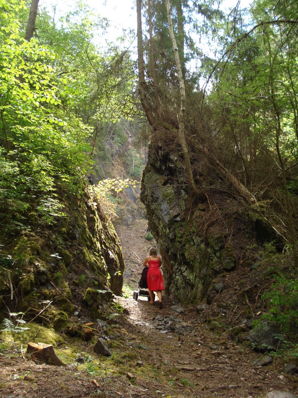
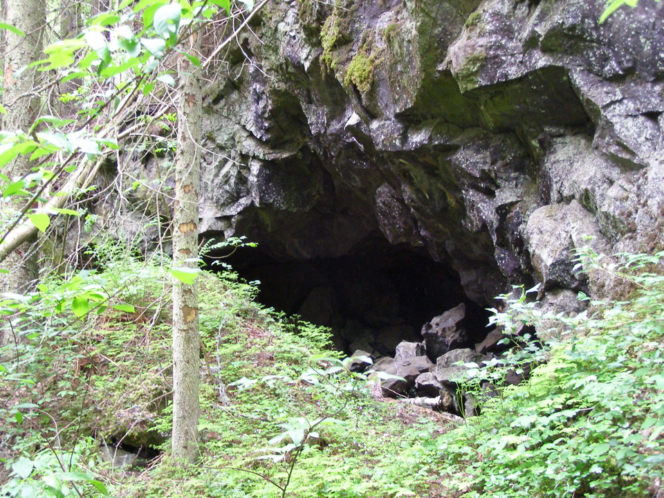
Immediately north of Lilla Sirsjön, the trail passes a number of relatively large mine holes. The Hagaberg mines are part of the Kronoberget iron ore mining field, which was probably the most productive in the whole of Lekebergslagen. Mining took place here…
Milestone

Etappmål Pershyttan

  • Municipality: Nora
  • 6677.95 km away from you

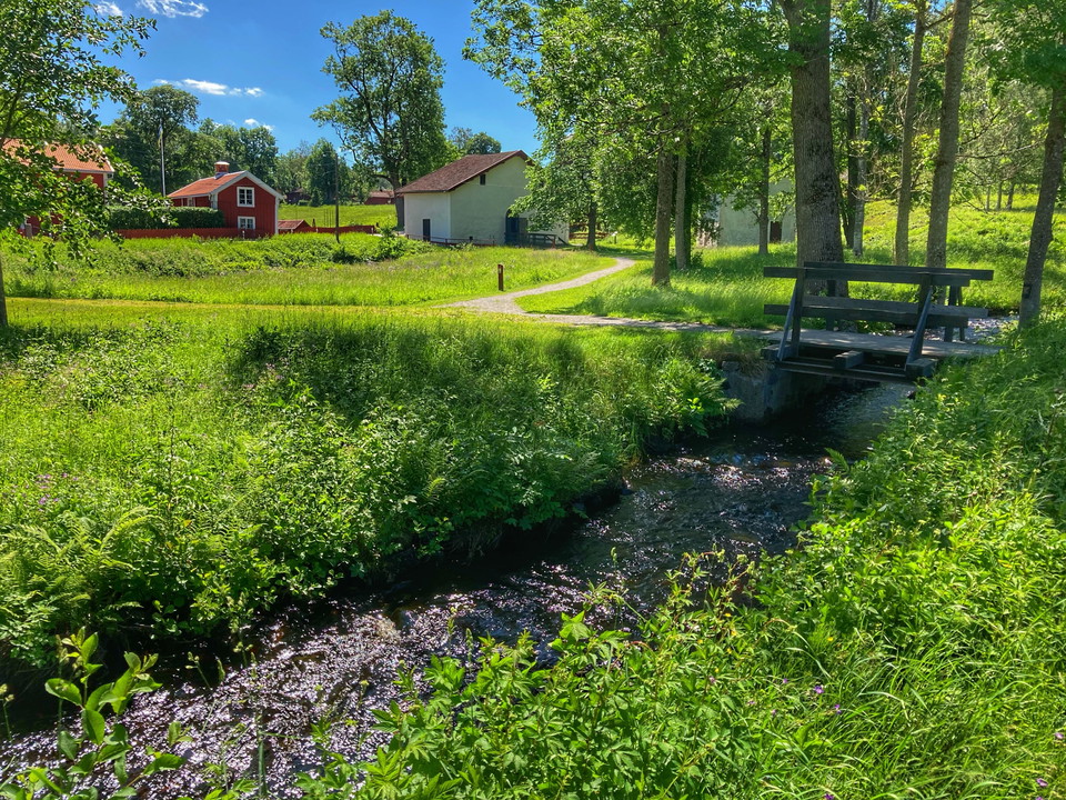
To get to Pershyttan, take off from county road 244 Örebro-Hällefors at the turnoff towards Nora and follow the highway towards Pershyttan, it is signposted. There is a parking lot, toilet, water and seasonal restaurant. In the village there are also a coup…

Hub

Zinkgruvan

  • Municipality: Askersund
  • 6719.49 km away from you

Are you interested in mining industry and its history? In this case it might be worse taking a trip to Zinkgruvan, Swedens southernmost mine. Mining has a long tradition in this region and in Zinkgruvan you will find both, current mining activities, as well…

Mine

Garpa gruva

  • Municipality: Askersund
  • 6714.34 km away from you

Iron ore mine from the 1100s. One of Sweden's most remarkable remains of an iron mine from that time. Directions: Entrance from the road Åmmeberg-Zinkgruvan, immediately towards Västerby prästgård, approx. 150 m. east to the "old embankment".

Mine

Västerby gruva

  • Municipality: Askersund
  • 6715.30 km away from you

Järnmalmsgruva från 1600-talet och kanske tidigare. Ett större ras inträffade 1768 då 12 personer omkom och detta innebar troligen slutet för gruvan.

Naturkartan

Open this in the app